June 7, 2020
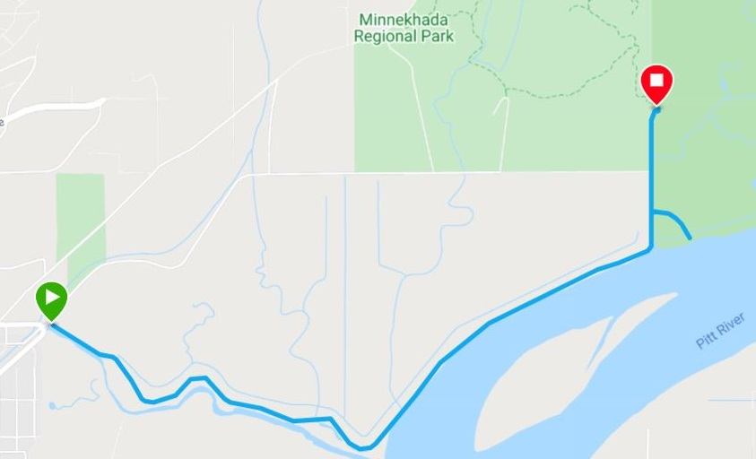
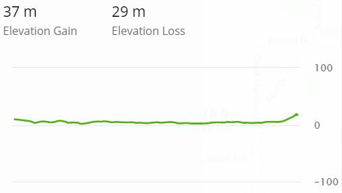
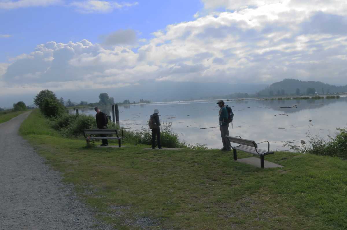
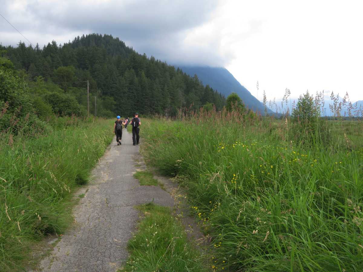
The north dike trail of DeBoville Slough is used by walkers, joggers, cyclists, and horseback riders
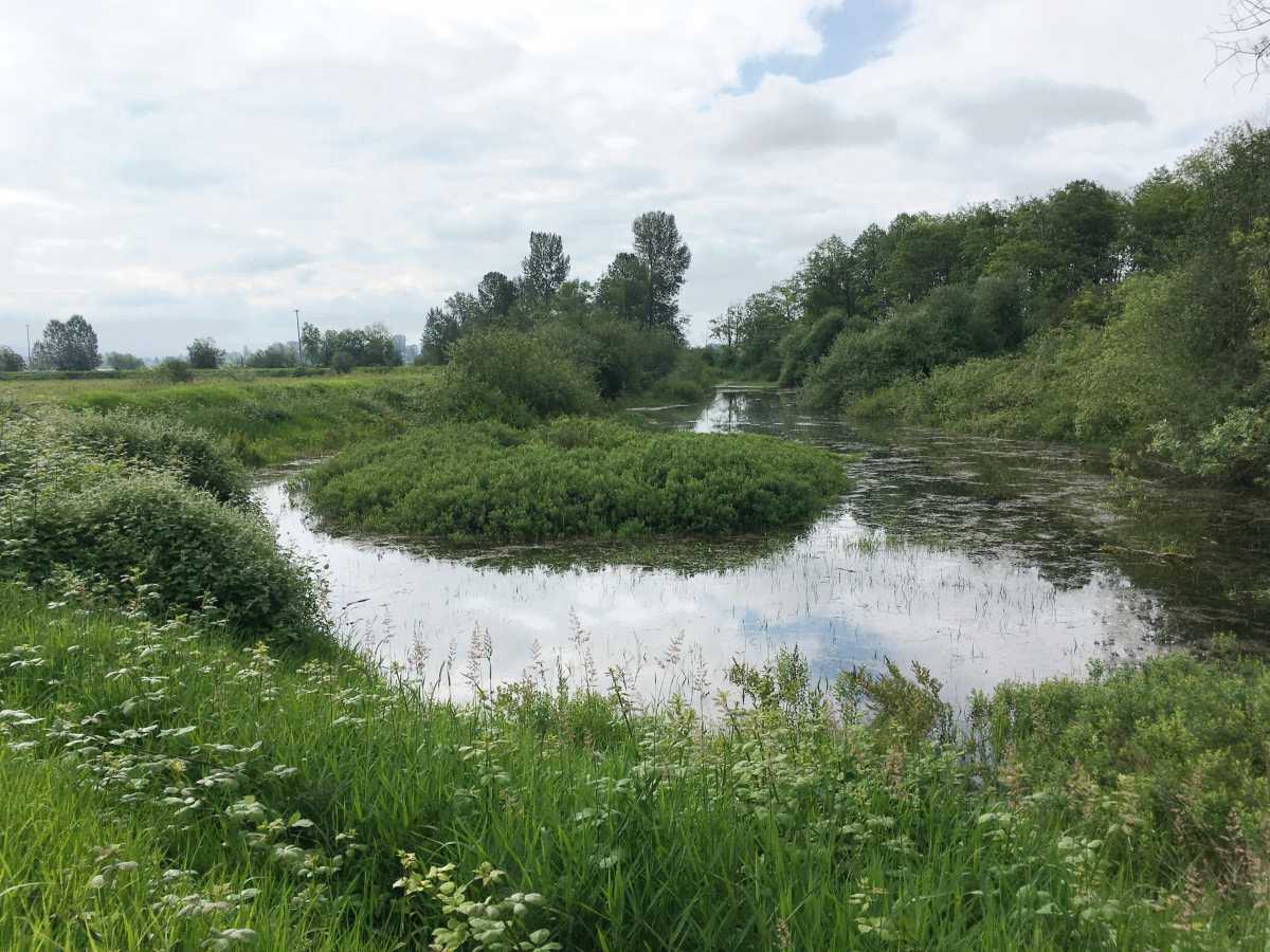
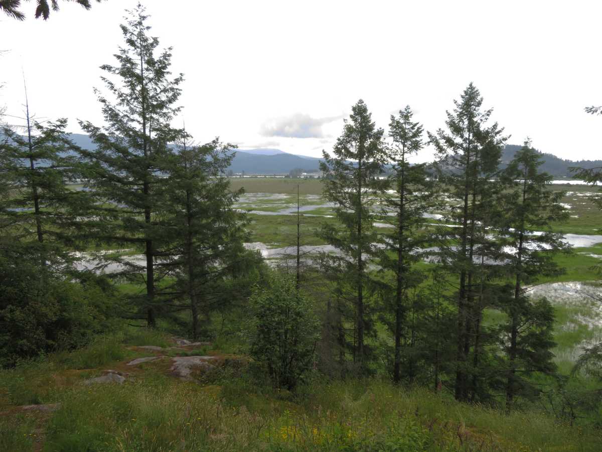
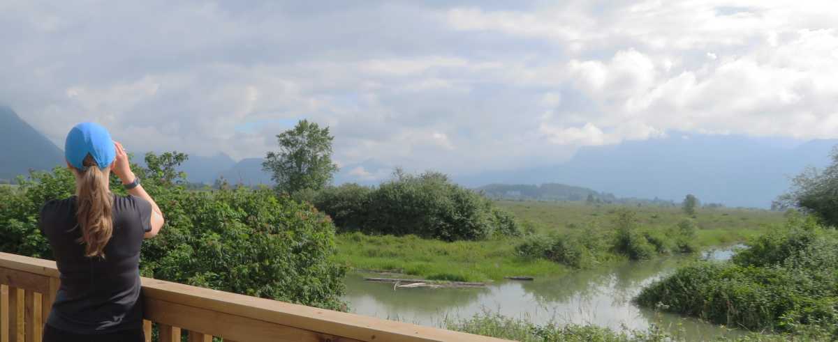
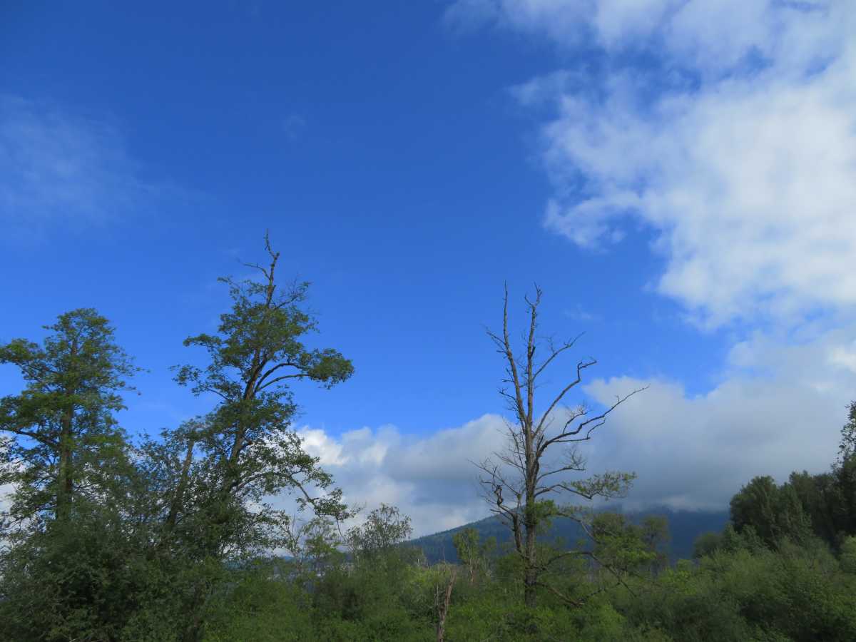
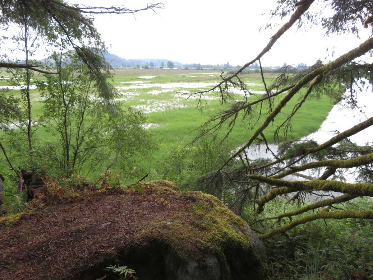
The 4 km trail guides the visitor along wetlands and berry farms, offering beautiful views of the Pitt River and Coastal Mountains.
Many wildlife species, including black bears, make seasonal visits to the area.
Birds nest at DeBoville Slough which has much critical nesting habitat.
Dogs going down to the slough or through the tall grass can disturb these birds.
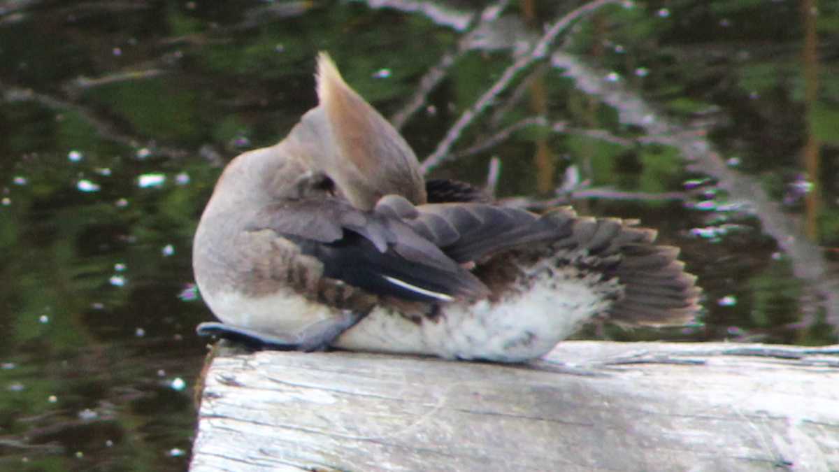
Along with Wood Ducks and other cavity-nesting ducks, Hooded Mergansers often lay their eggs in other females’ nests.
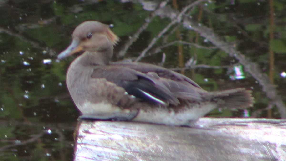
This is called “brood parasitism”. Female Hooded Mergansers can lay up to about 13 eggs in a clutch, but nests have been found with up to 44 eggs in them.
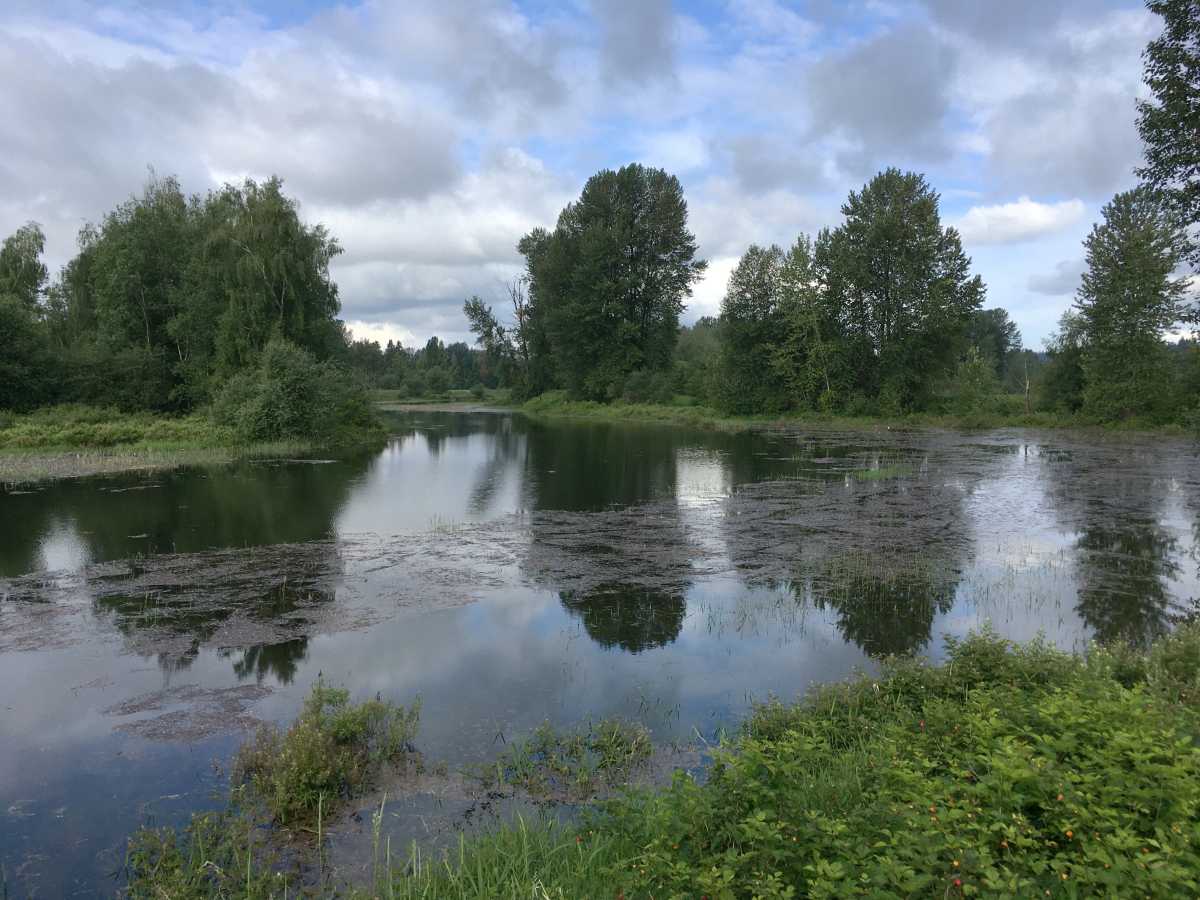
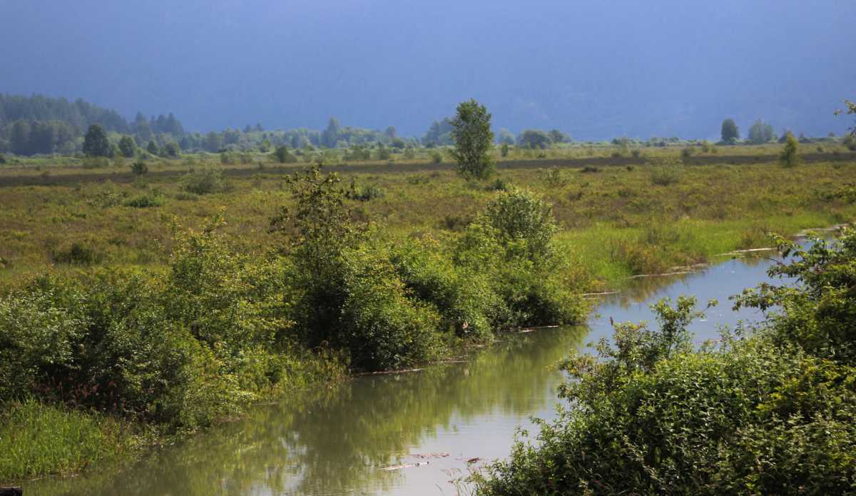
The 2.2 km DeBoville Slough links the Pitt River with Hyde Creek.
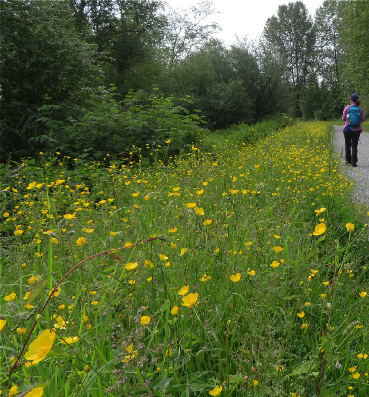
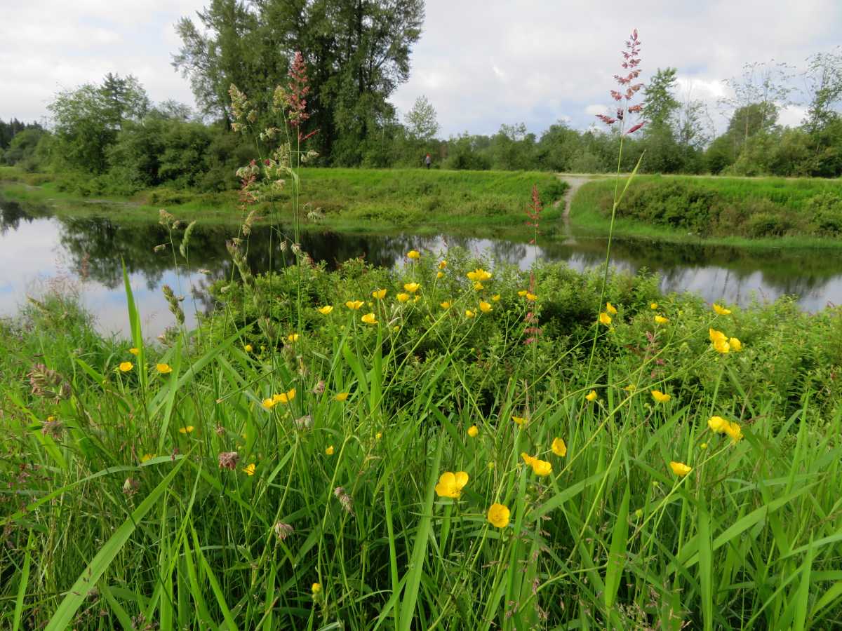
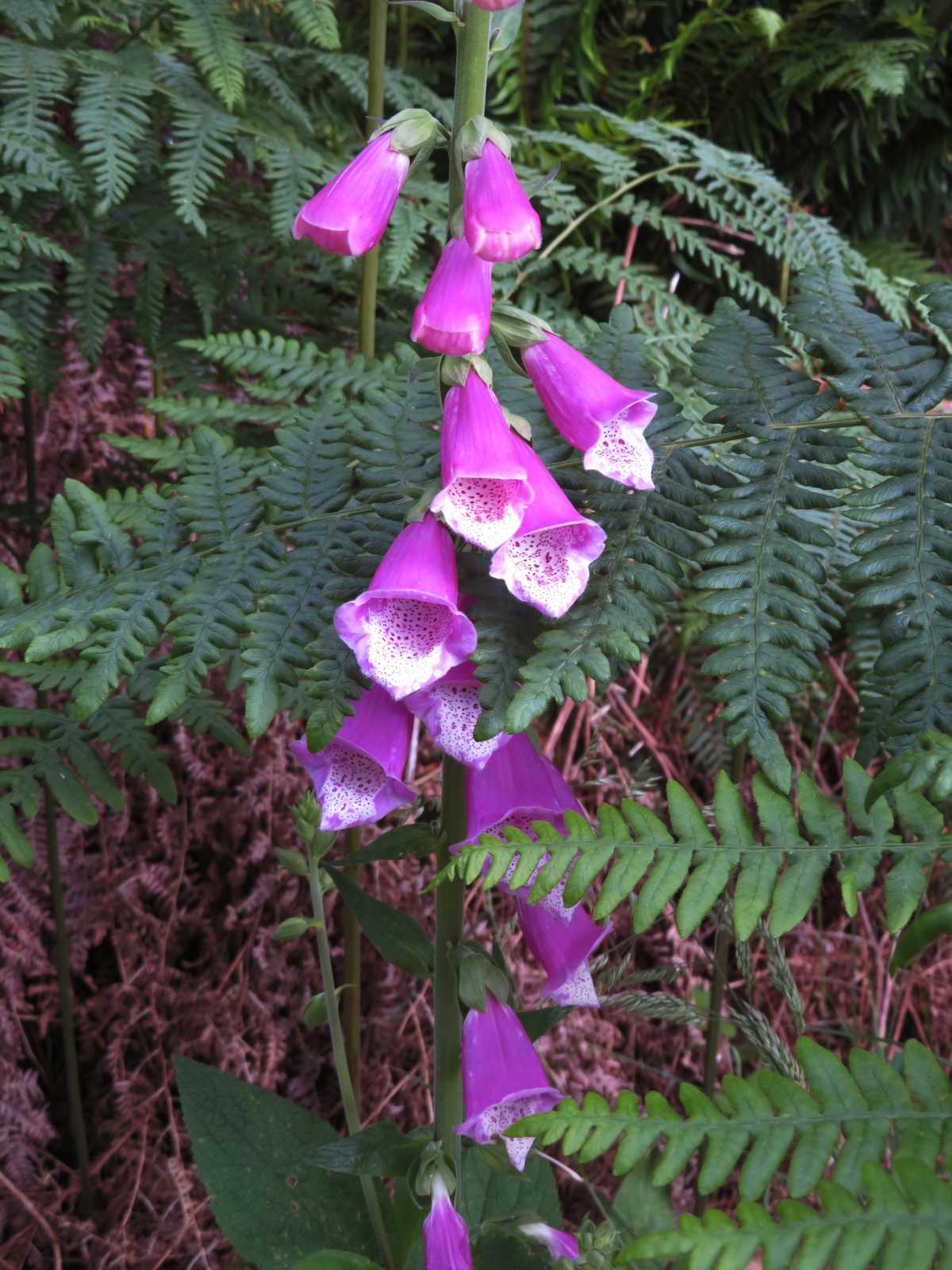
The meadow buttercup contains ranunculin, which breaks down to the toxin protoanemonin, a chemical that can cause dermatitis and vomiting
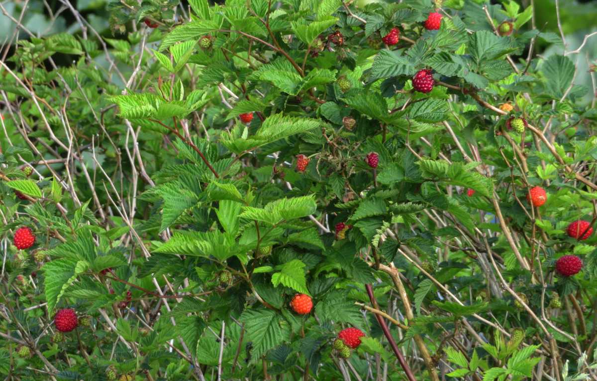
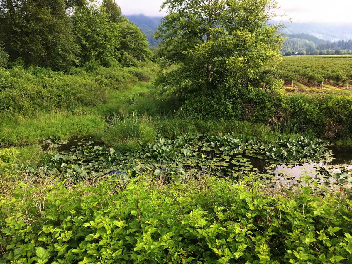
With blueberry fields to the north, blackberries around the slough, and fish in the slough, this makes a great place for bears to dine.
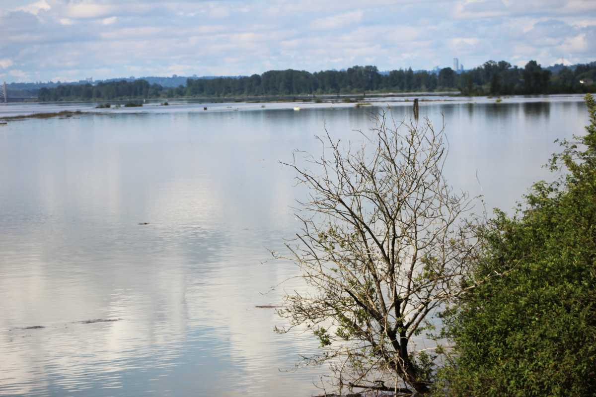
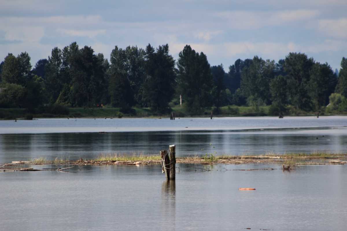
After reaching the Pitt River, you can head back or explore the shore of the Pitt River.
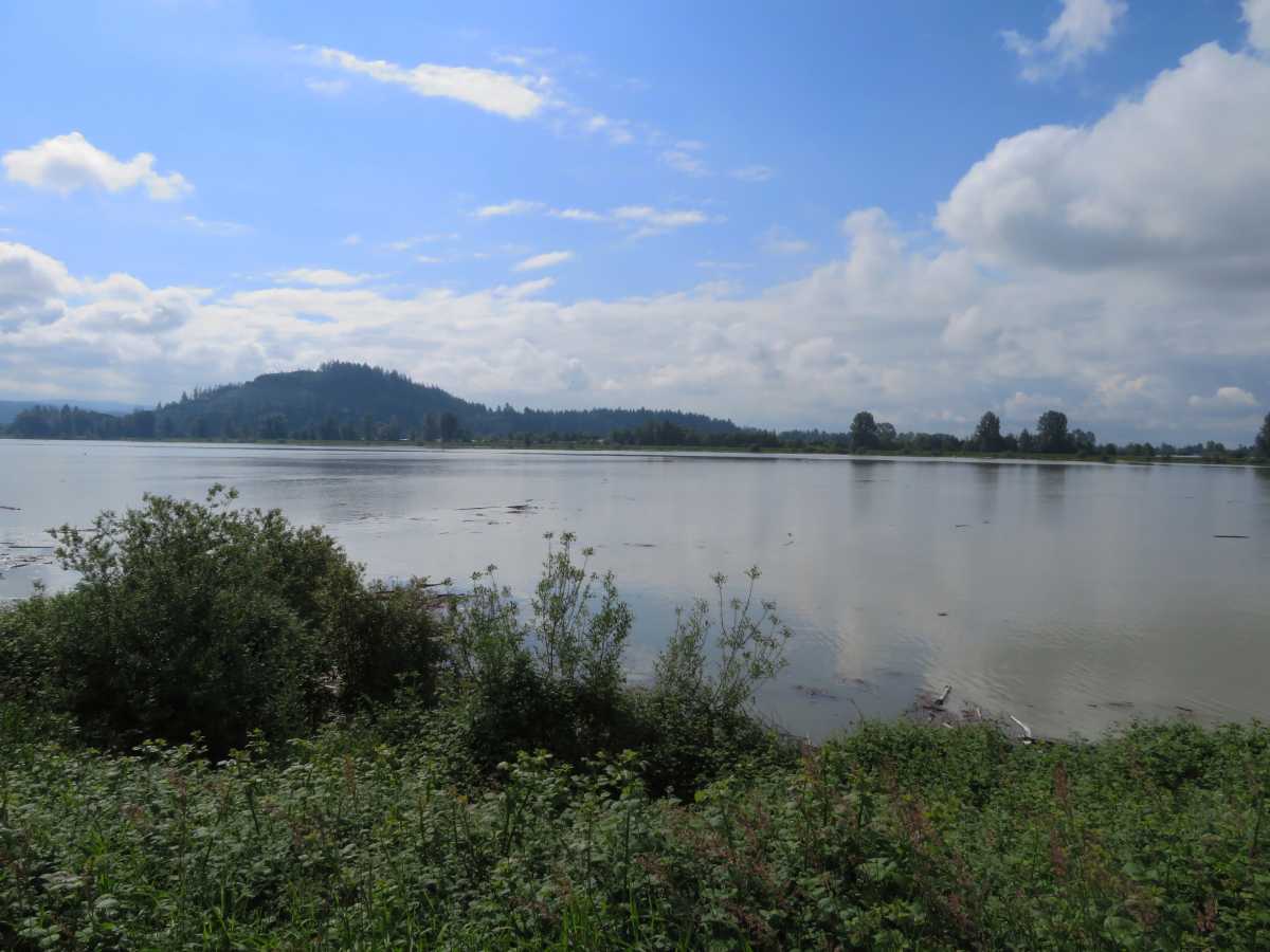
The lower Pitt River is tidal as the Fraser's mouth is only a few miles downstream from its confluence.
The plain of the lower Pitt was berry marsh and bog before its dyking.
The Pitt is one of many north-south river-lake valleys that join the lower Fraser along its north side.
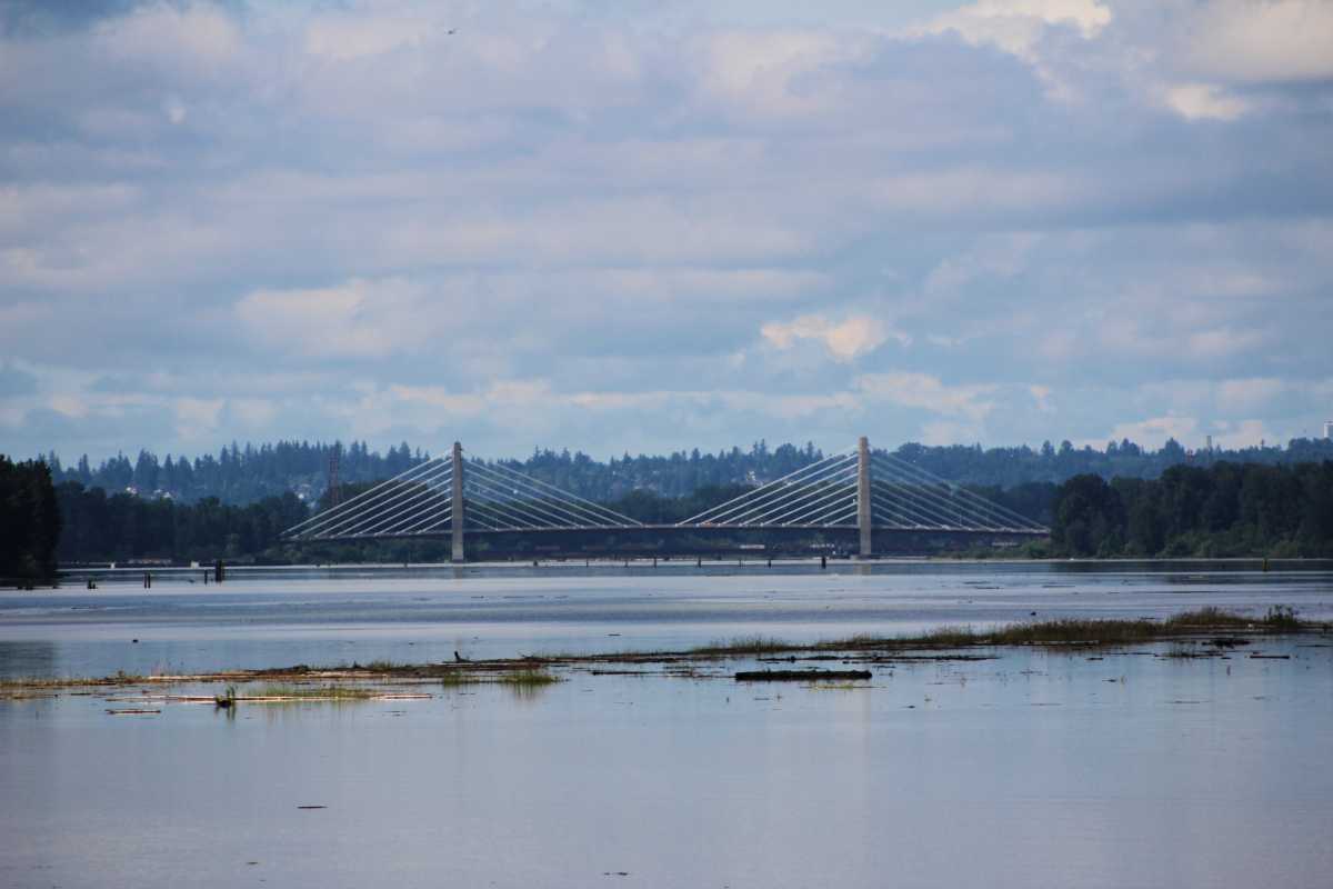
The Pitt River Bridge is a 380 m cable-stayed bridge structure carrying Lougheed Highway across the river.
The Pitt River, surrounding lands, and wetlands have significant First Nation's heritage.
Local Katzie people are bringing back the Wapato crops (arrowroot) that were abundant throughout nearby wetlands before the dyking and draining of the wetlands.
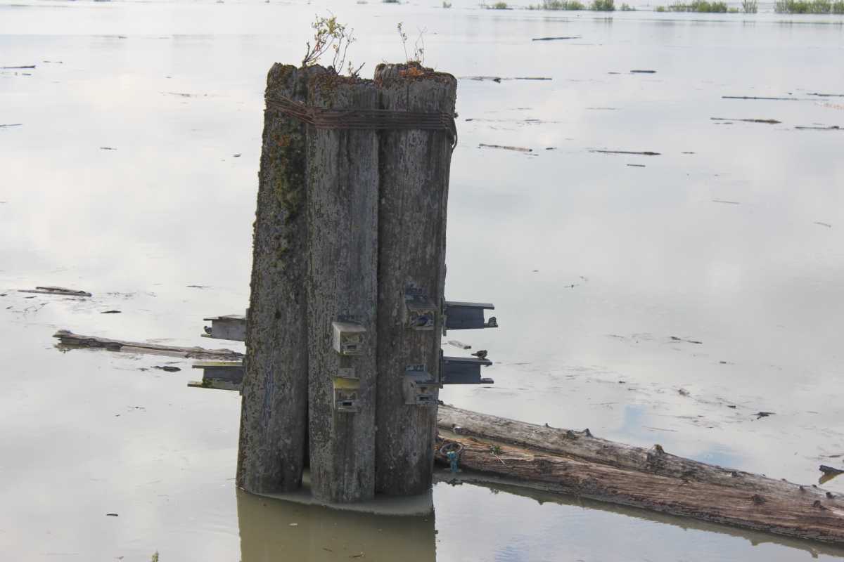
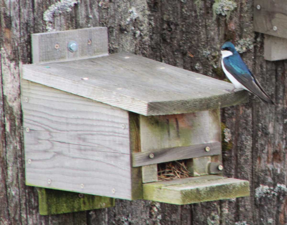
Nest box installation and maintenance is a popular activity by the local naturalists.
Migrating and wintering Tree Swallows gather about an hour before sunset and form a dense cloud above a roost site, swirling around like a living tornado.
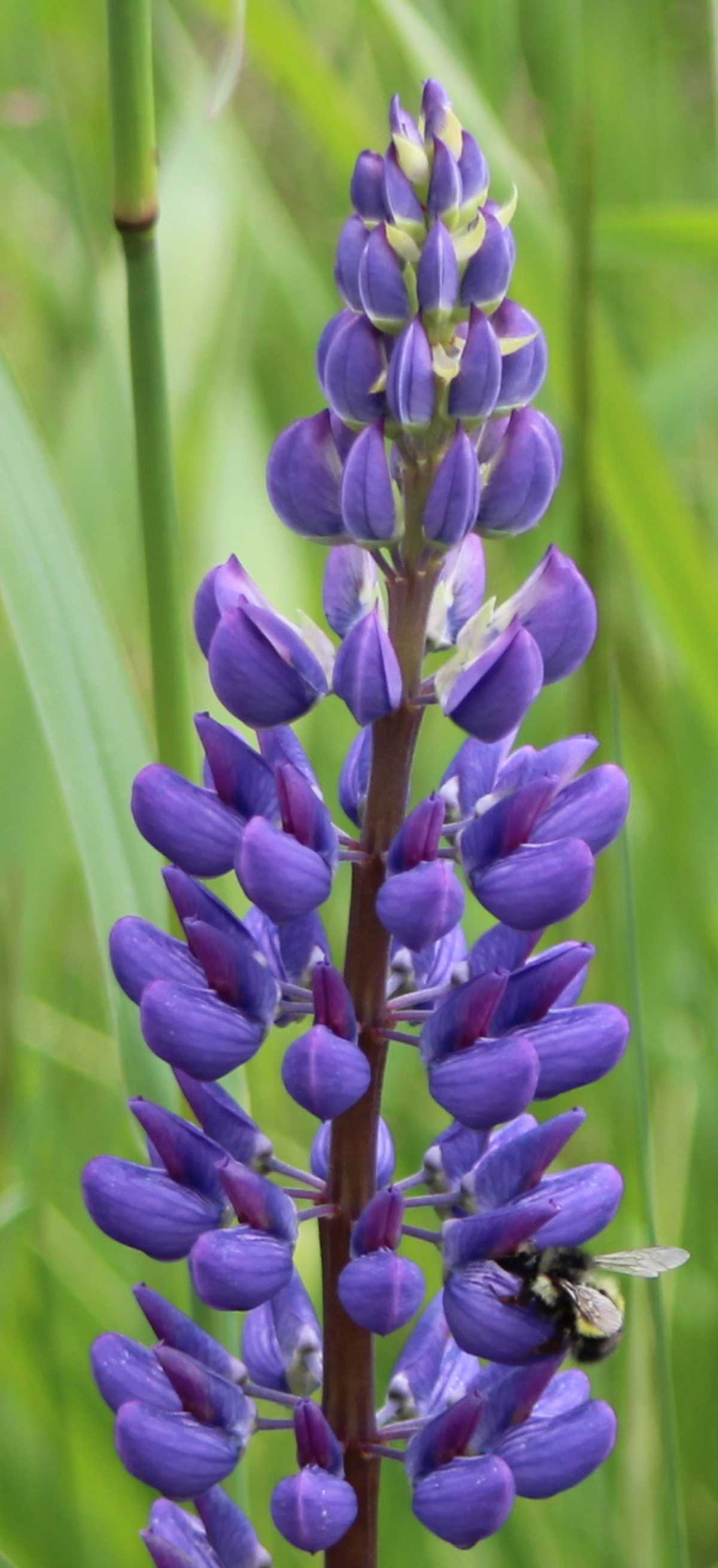
The lupine blooms for a few weeks only and is attractive to bumblebees and long-tongued pollinators.
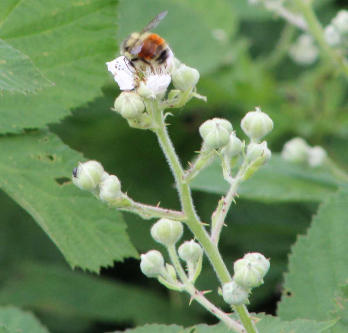
Bees are facing many stressors – habitat loss, pesticide exposure, and disease are big ones but so is climate change.
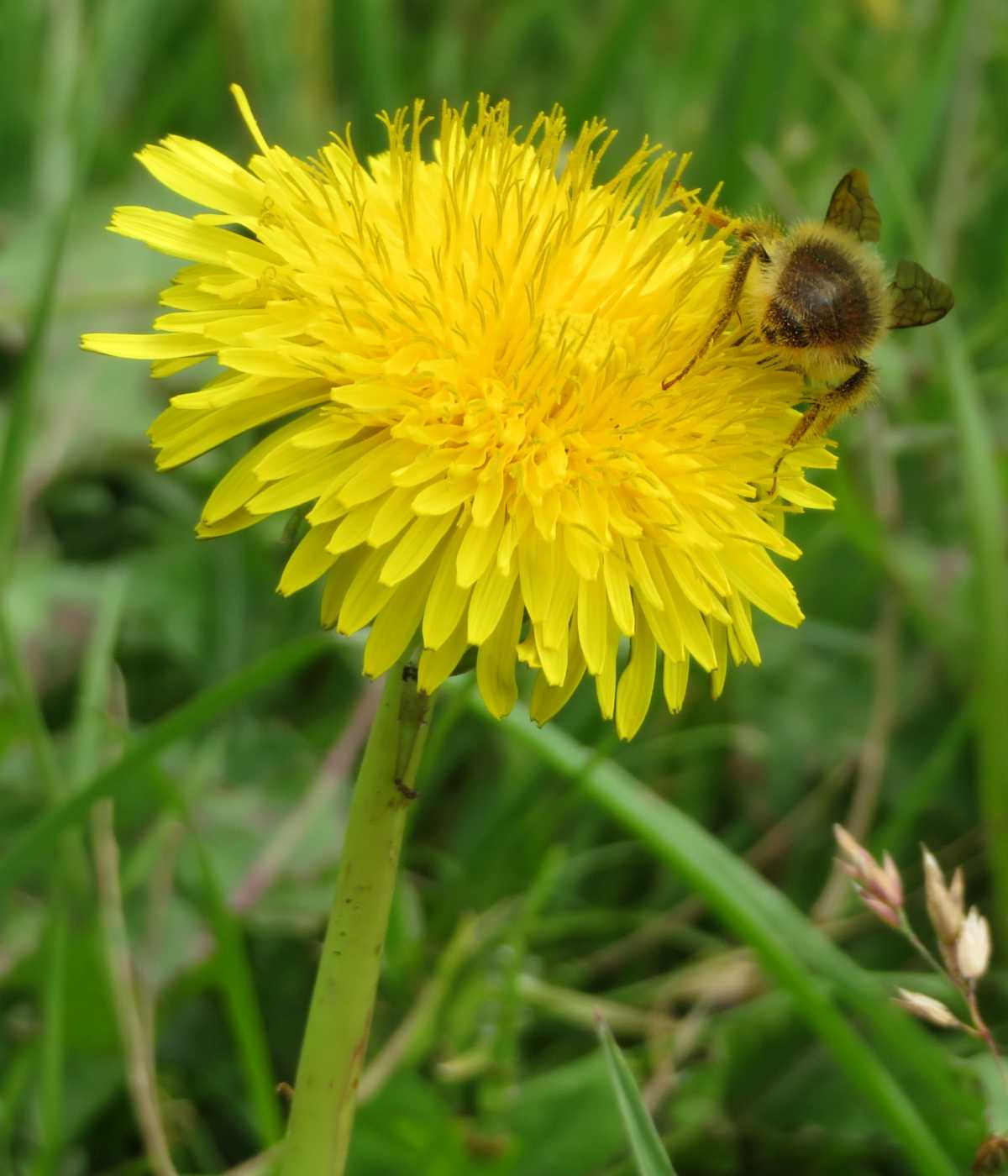
Bumblebees are crucial pollinators. Because they are capable of buzz pollination, they are particularly effective at pollinating many wildflowers, fruits, and vegetables.
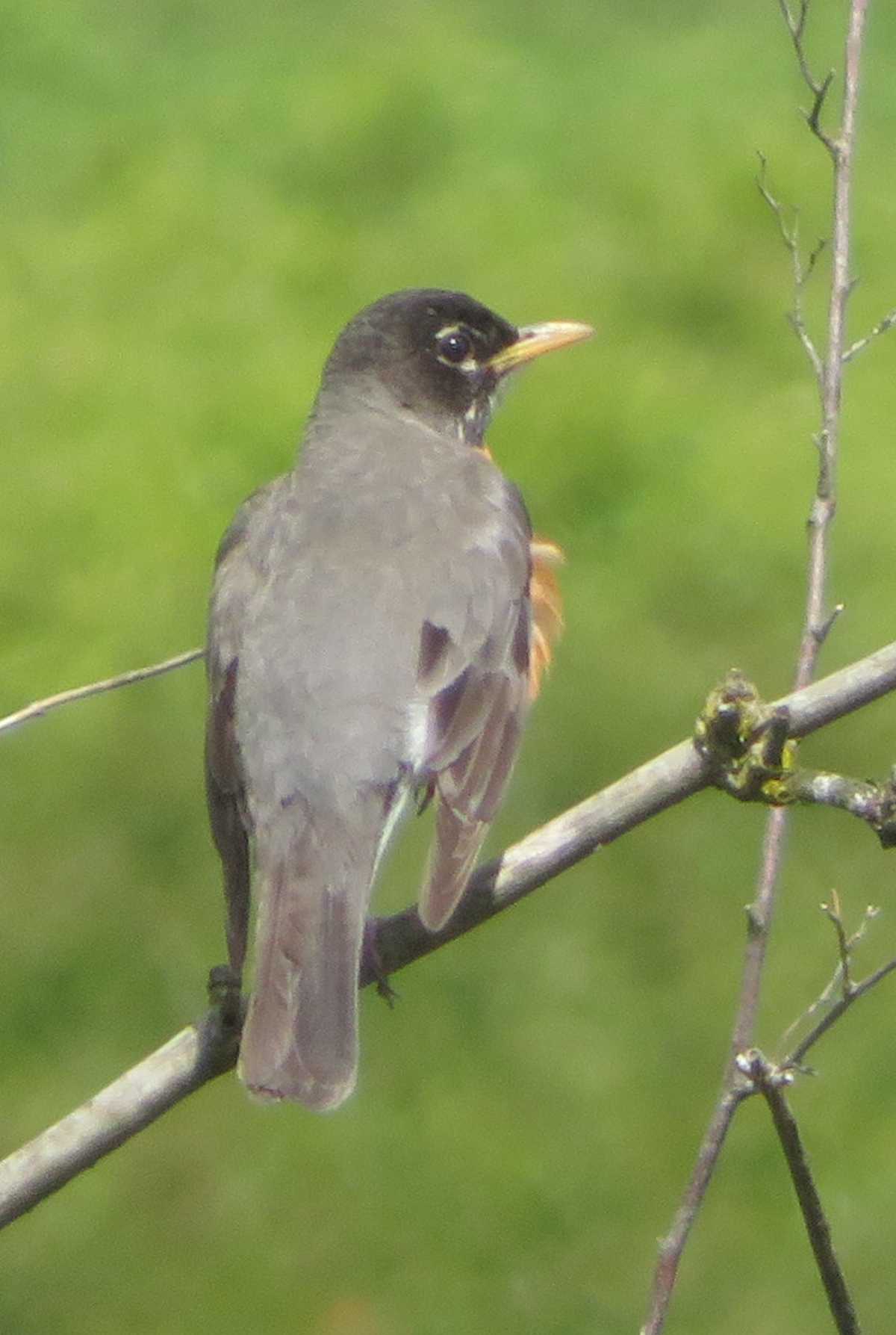
Robins eat a lot of fruit in the fall and winter. When they eat honeysuckle berries exclusively, they sometimes become intoxicated.
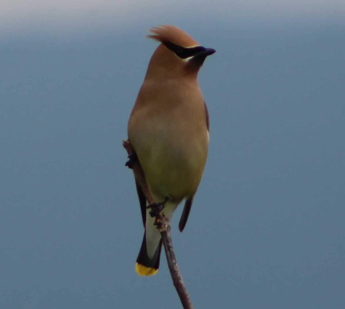
Cedar waxwings fly at 40 km/h (25 mph) and fly at an altitude of 610 m (2,000 ft).
The Pitt-Addington Marsh Wildlife Management Area (PAMWMA) contains 4 separate units totaling 2972 hectares (7344 acres).
Before 1897, Addington Marsh was part of the Pitt River floodplain.
Between the 1930s and 1977, this marsh was used for private waterfowl shooting.
The west side of Addington Wildlife Management Area connects with Oliver Road and Minnekhada Regional Park
In 1977, the Nature Trust of British Columbia (TNTBC) purchased the marsh to protect its wildlife and habitats.
The 283 hectares of Addington Marsh are leased to the British Columbia Ministry of Environment, Lands, and Parks by TNTBC, and the water regimes are managed cooperatively with Ducks Unlimited Canada.