October 25, 2020
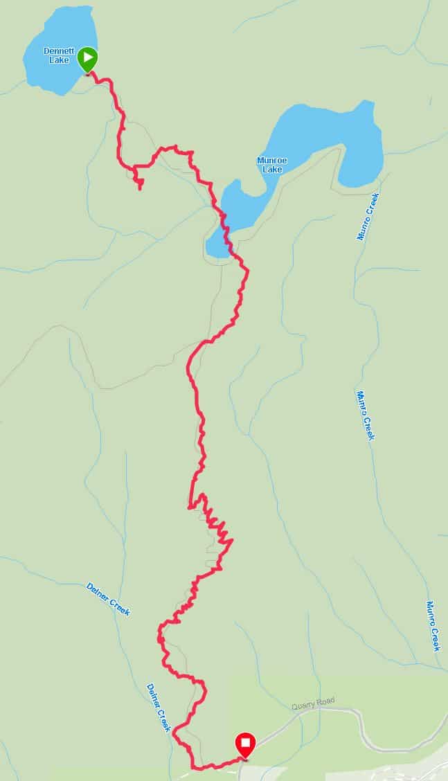
There is no sign at the trailhead. Set your odometer to 0 when you pass the Minnekhada parking lot on Quarry Rd. Go approximately 3 km, and the trailhead is on the left.
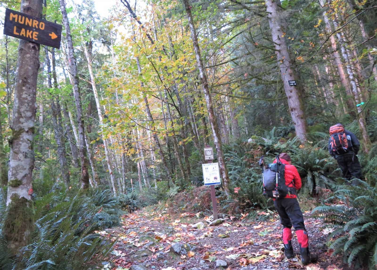
You either park on the right or left side of the road. There is a marker on the road there that says "12".
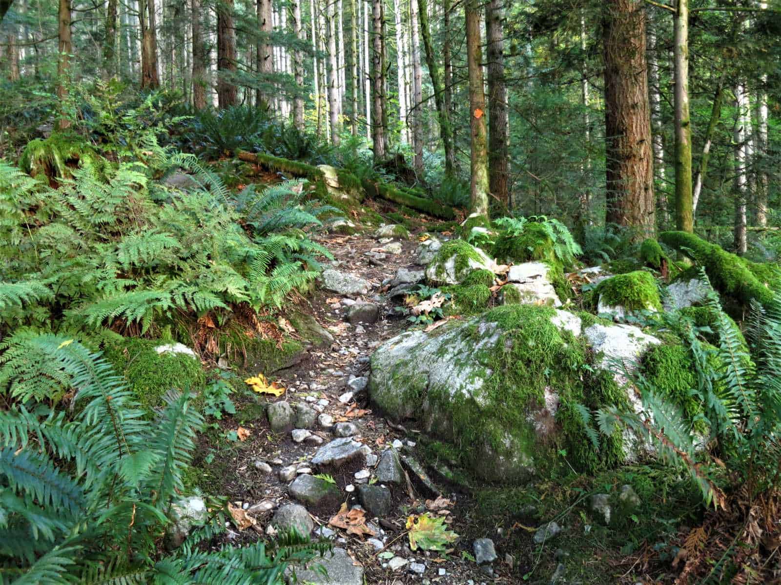
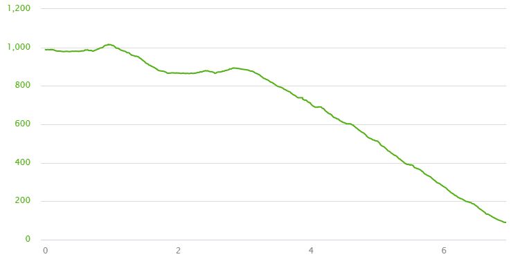
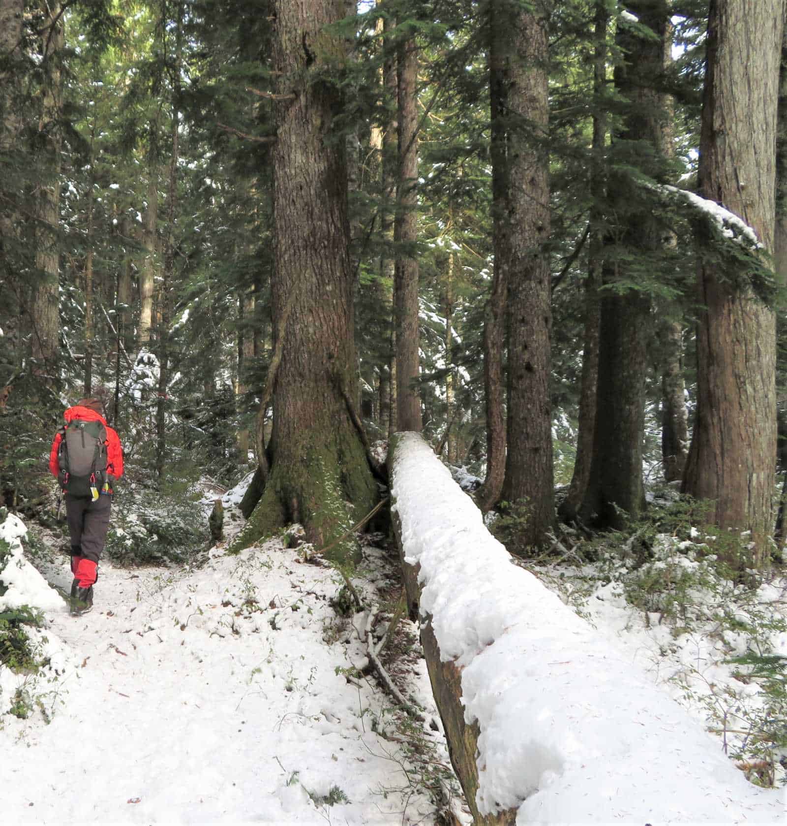
The gradient hardly varies for the next kilometer.
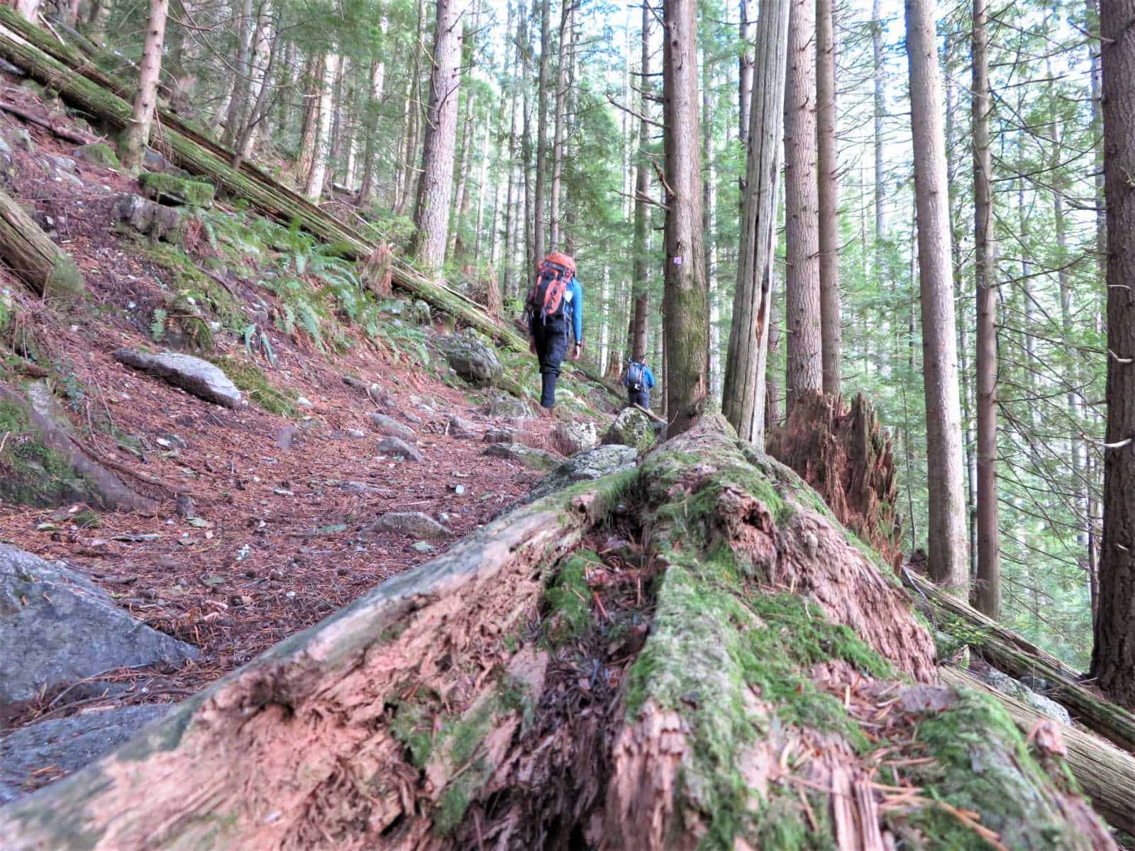
The current forest is 2nd growth and about 80 - 100 years old.
In the early 1900s, this place was clear cut of large Western Red Cedar and Douglas Fir trees, 800 to 1,000 years old.
Tree bracket fungus has woody tubes through which the spores are released into the air.
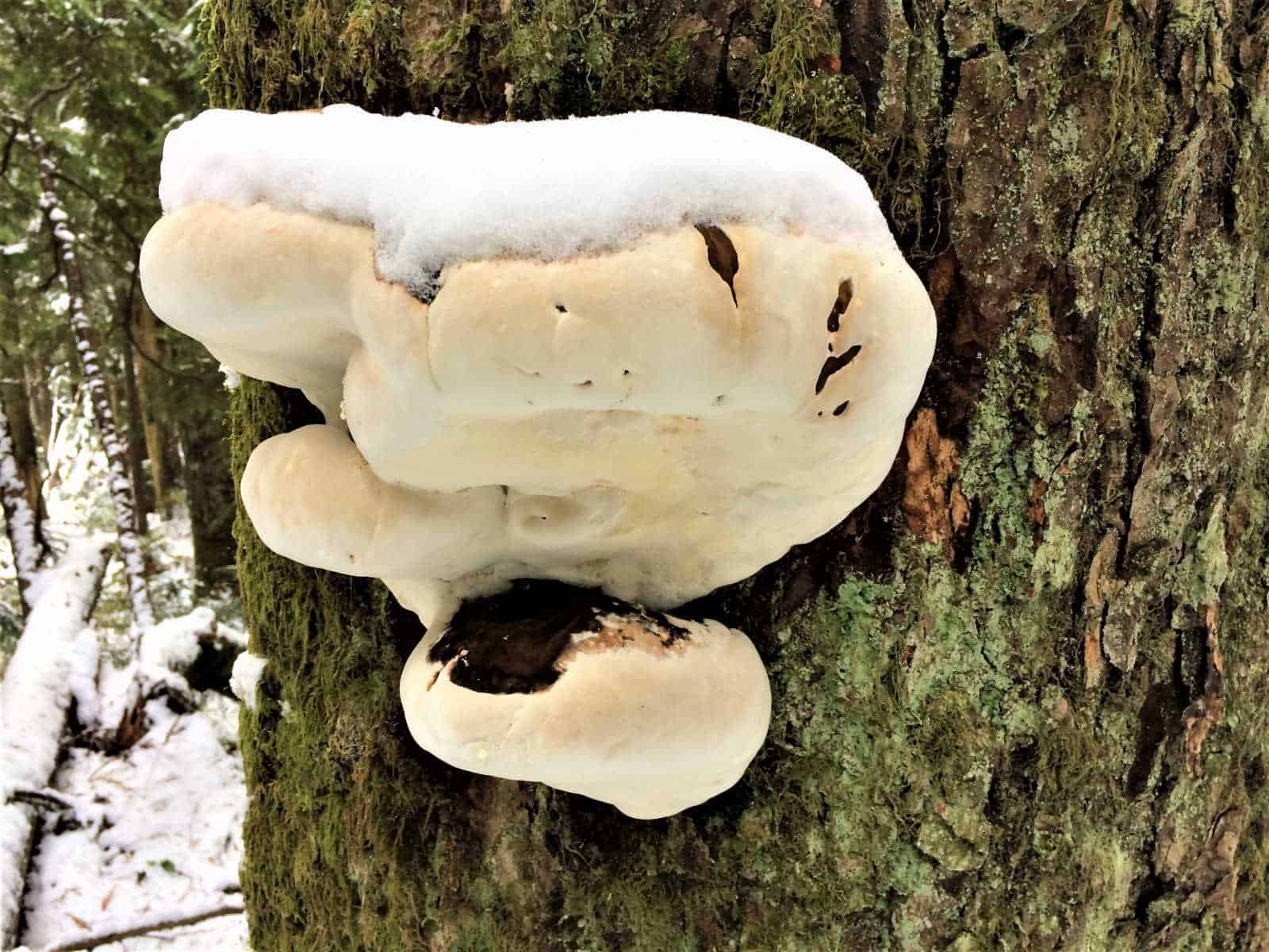
A new layer of spore tissue is added each season on top of the old.
There is a flat walk to Munro Lake.
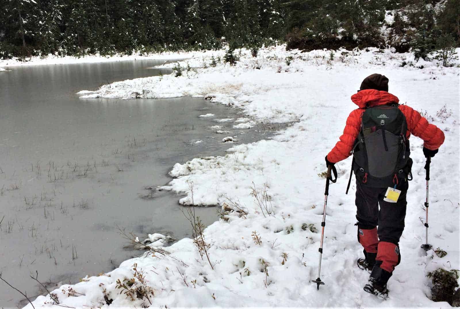
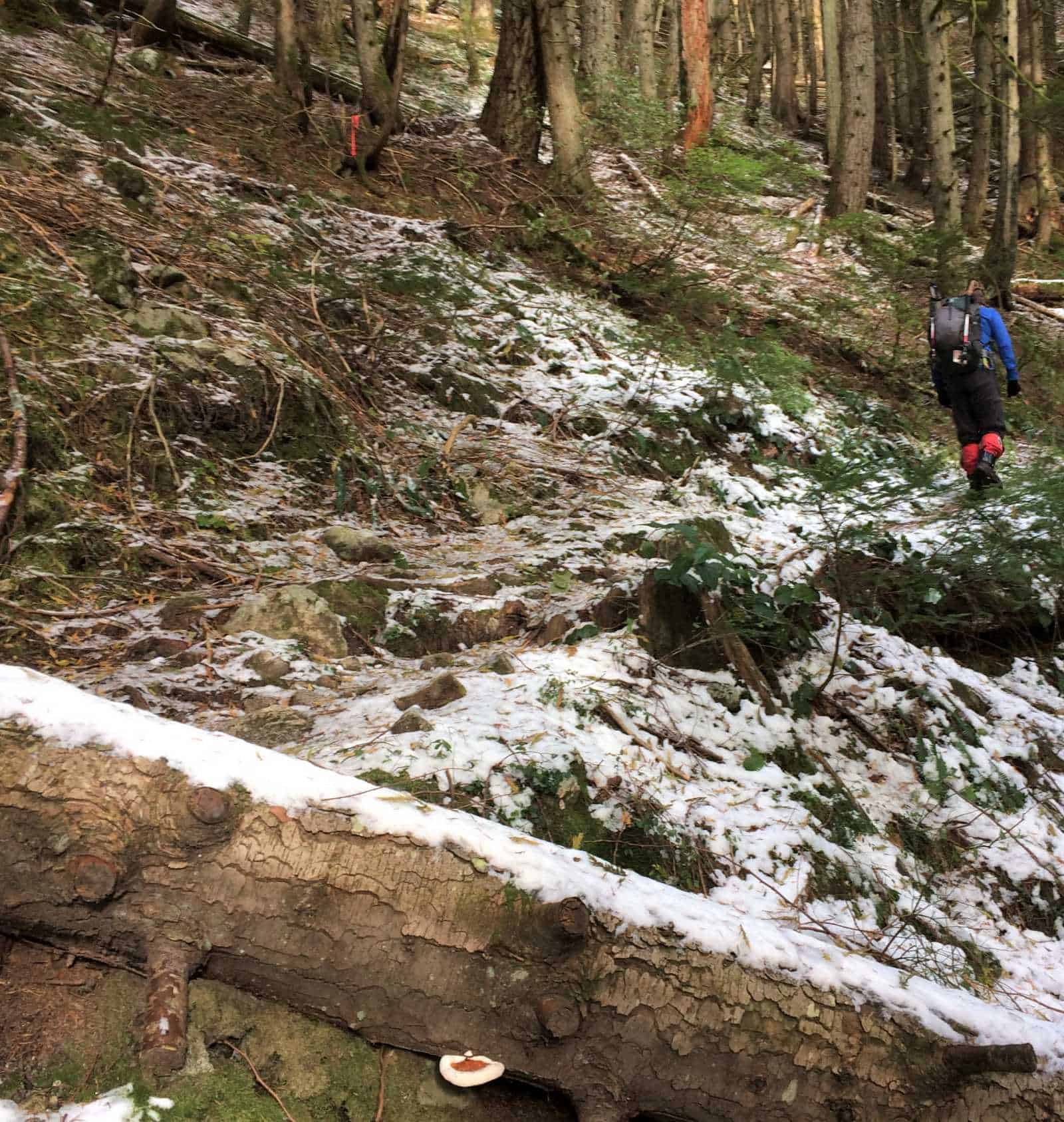
Just before Munro and until you reach Dennet Lake, you can expect muddy conditions.
You continue around the lake's west side, and then you cross a creek.
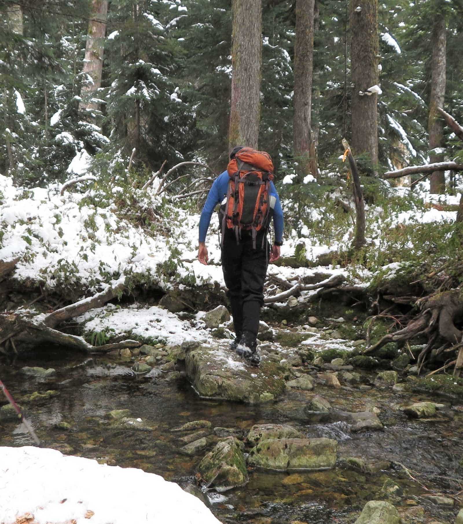
The old route is notoriously rocky and wet and often a running stream.
A new and drier path runs almost parallel to the standard trail and provides access to a viewpoint.
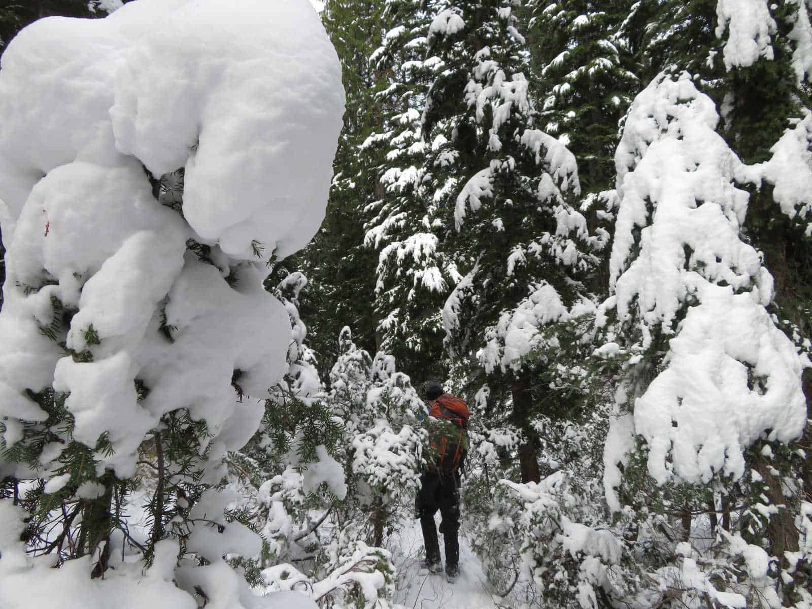
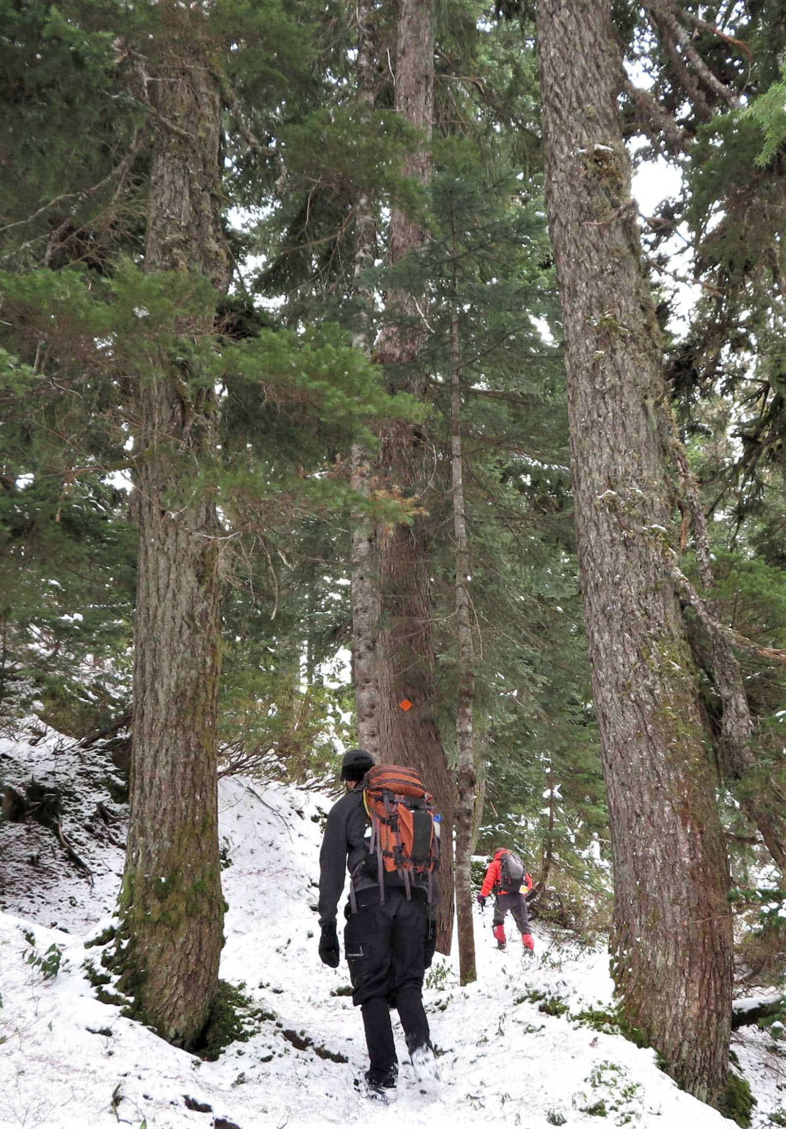
The trail goes into a bushy area. This section is overgrown, and it may be difficult to find the path.
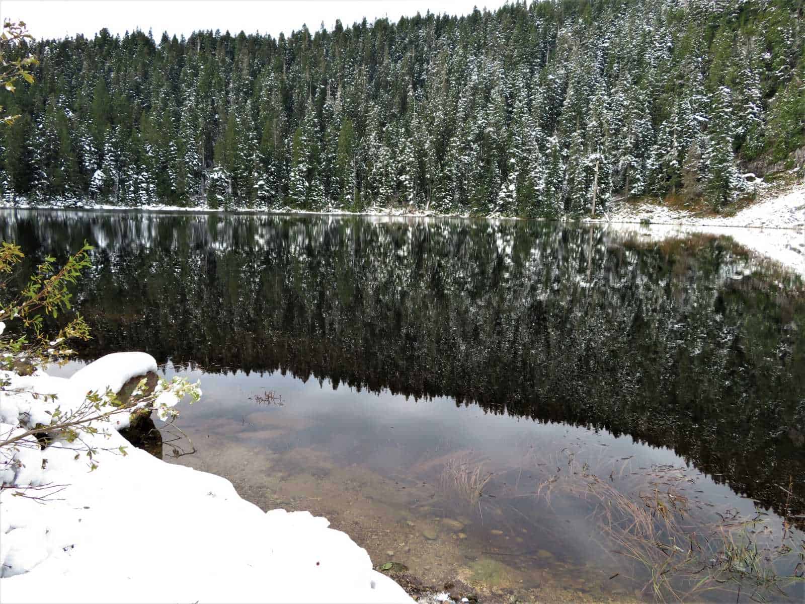
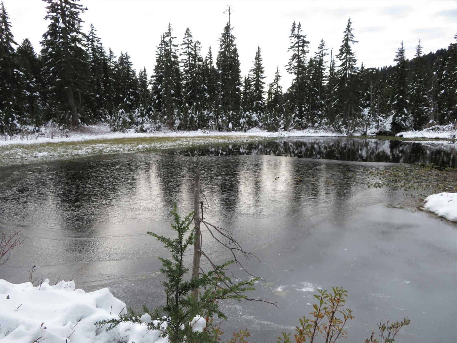
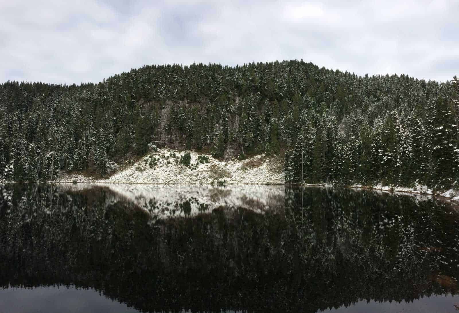
Dennett Lake has a large cliff wall around the far side of it.
On a summer day, it’s a fantastic swimming hole.
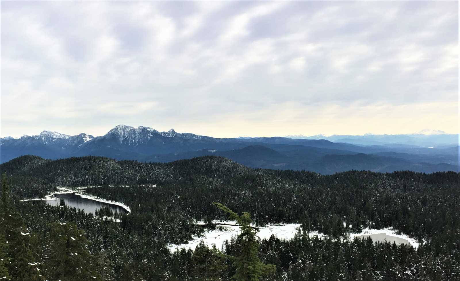
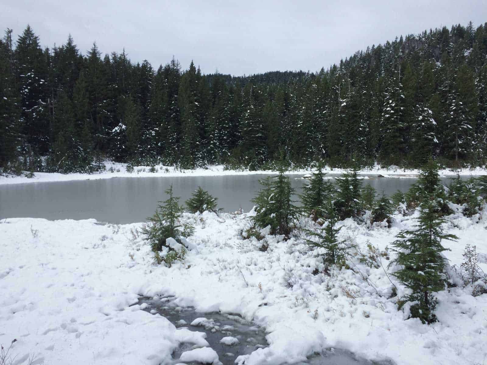
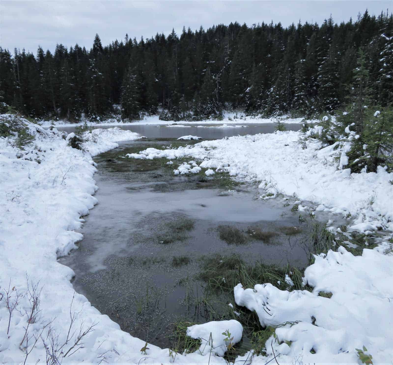
Munro Lake used to be dammed and was a single, large lake. The lake provided power to a nearby rock quarry operation.
The opening of this dam in the fall of 1981 decreased Munro’s water levels, shrinking and fragmenting the lake.
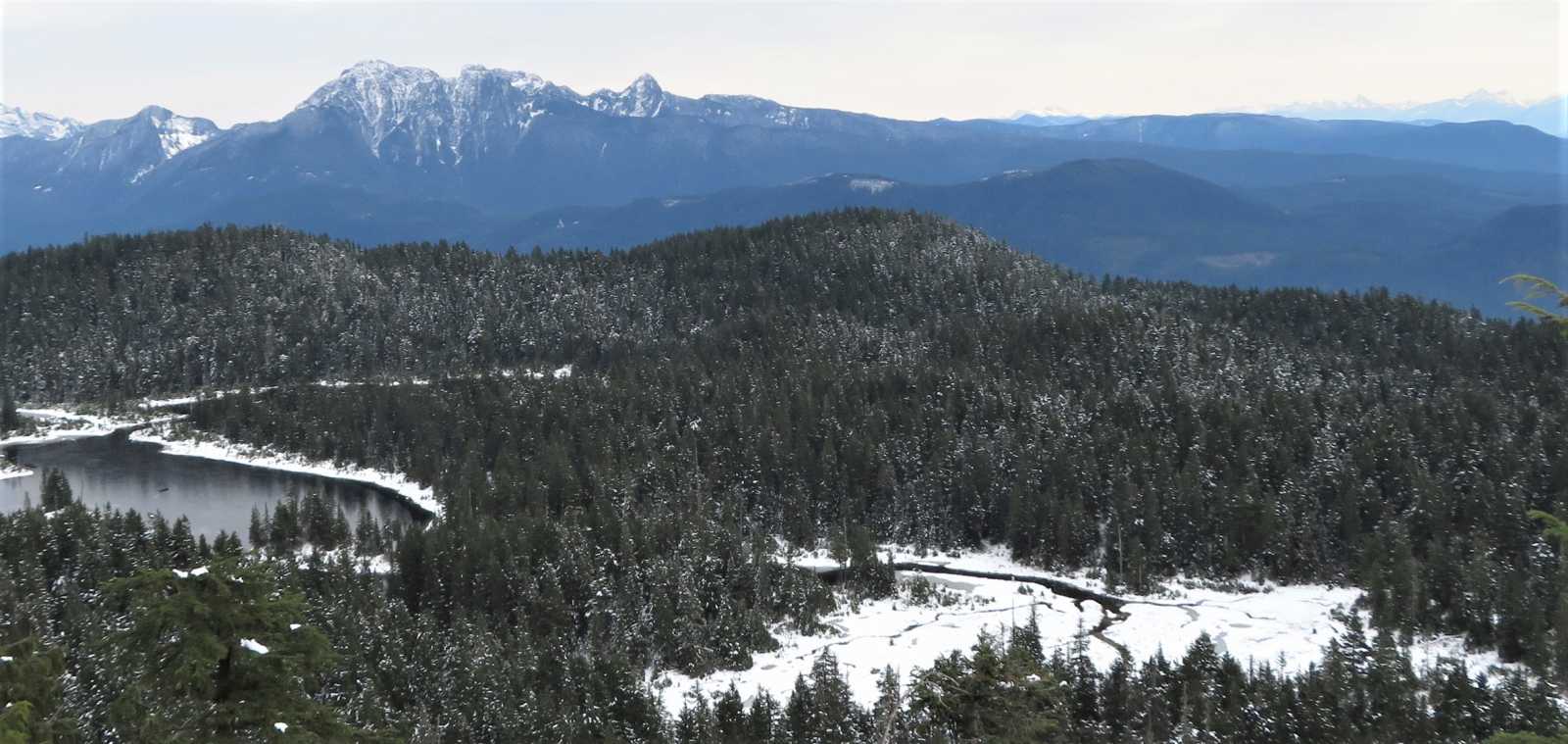
At the Munro Lake lookout, you can see Golden Ears to the east and look down directly onto the fragments of Munro Lake.
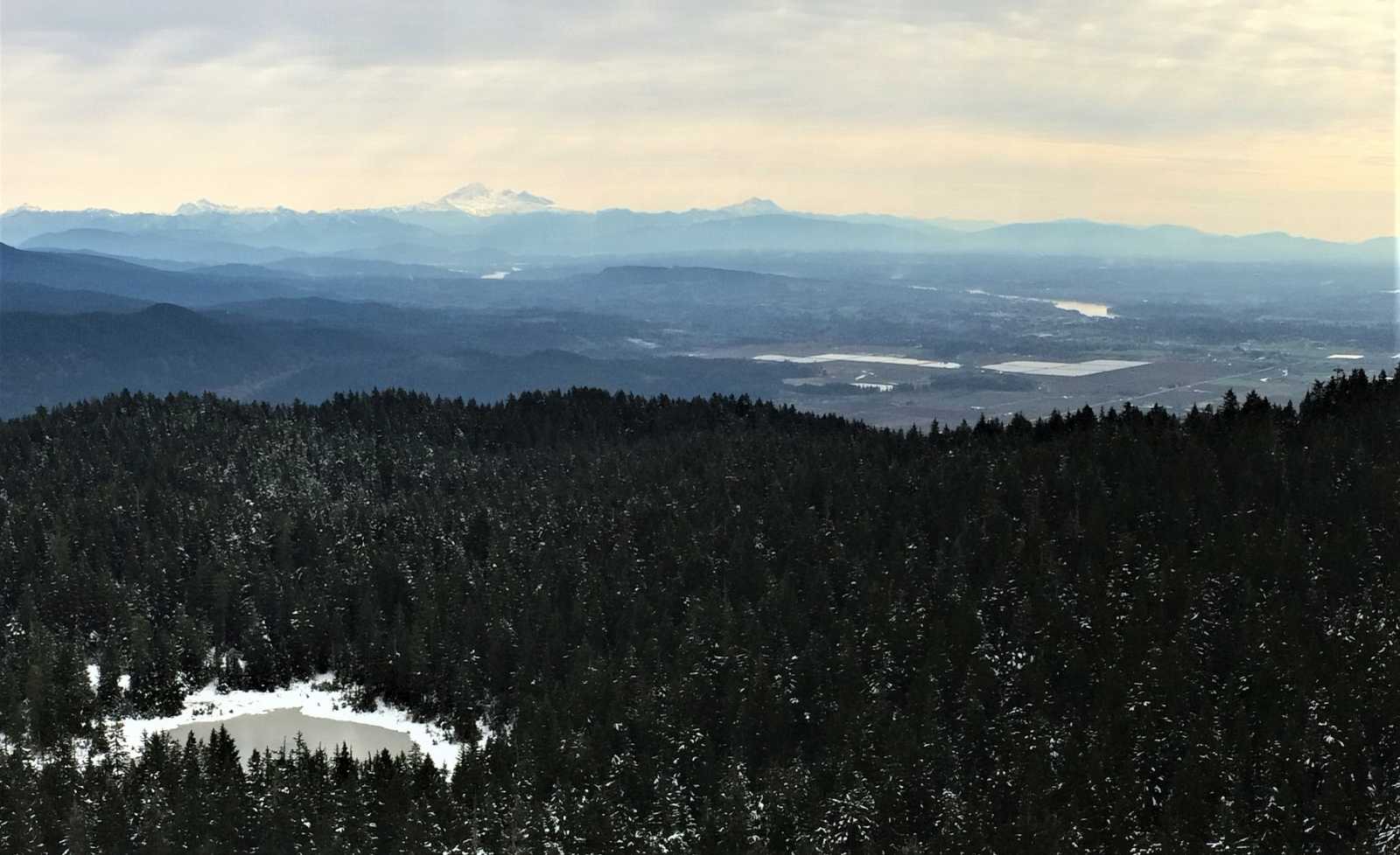
You can also see Mount Baker in the United States and the Chilliwack’s Cheam Range in the distance.
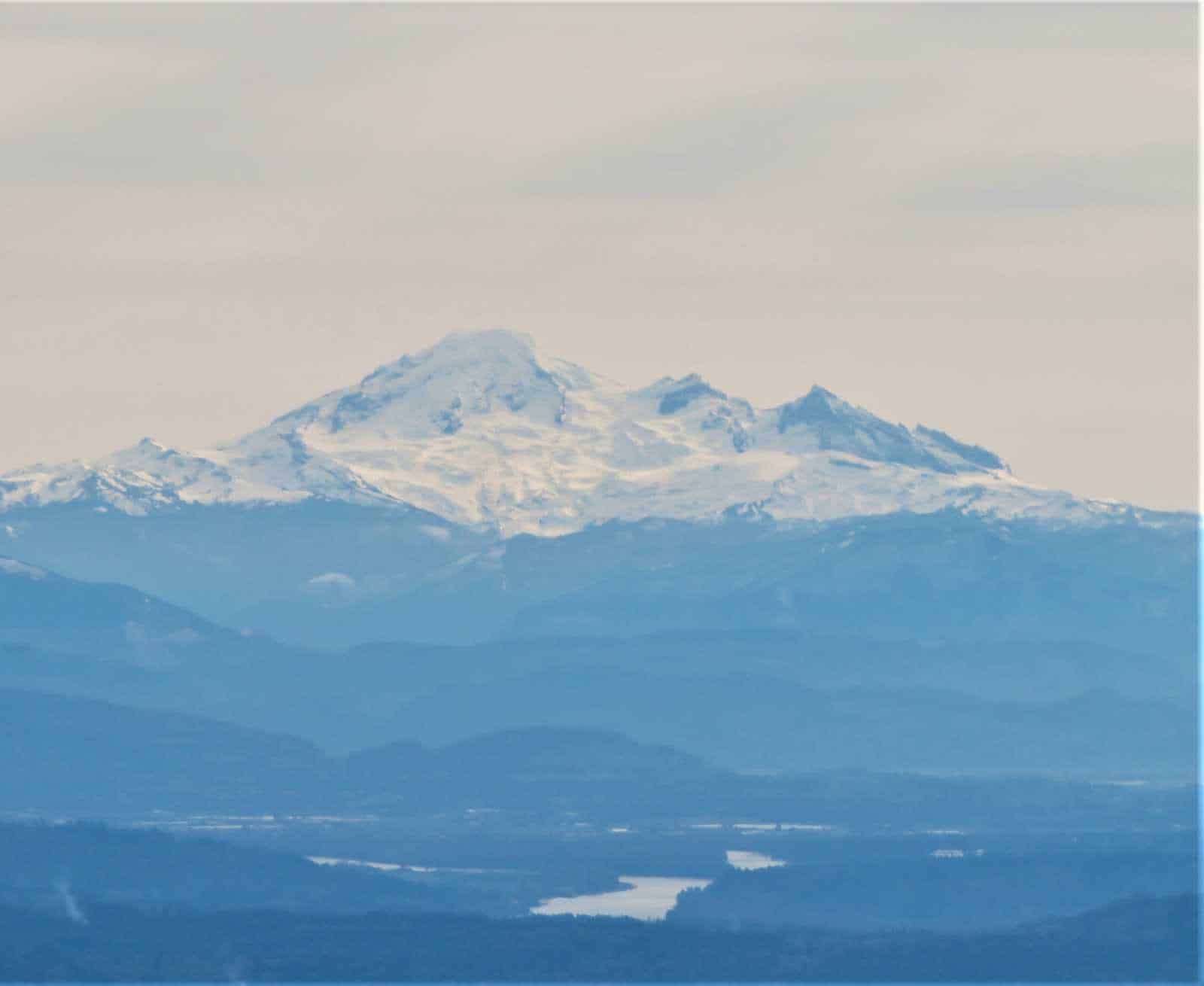
Mount Baker is the highest peak in the North Cascades (3,286 m or 10,781 ft) and the northernmost volcano in the conterminous United States.