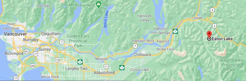
July 8, 2012
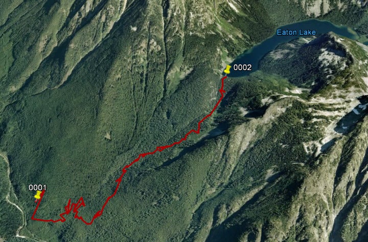
Starting at the Eaton Lake Forestry Campsite, follow an old road approximately 350 meters to a spot alongside Eaton Creek.
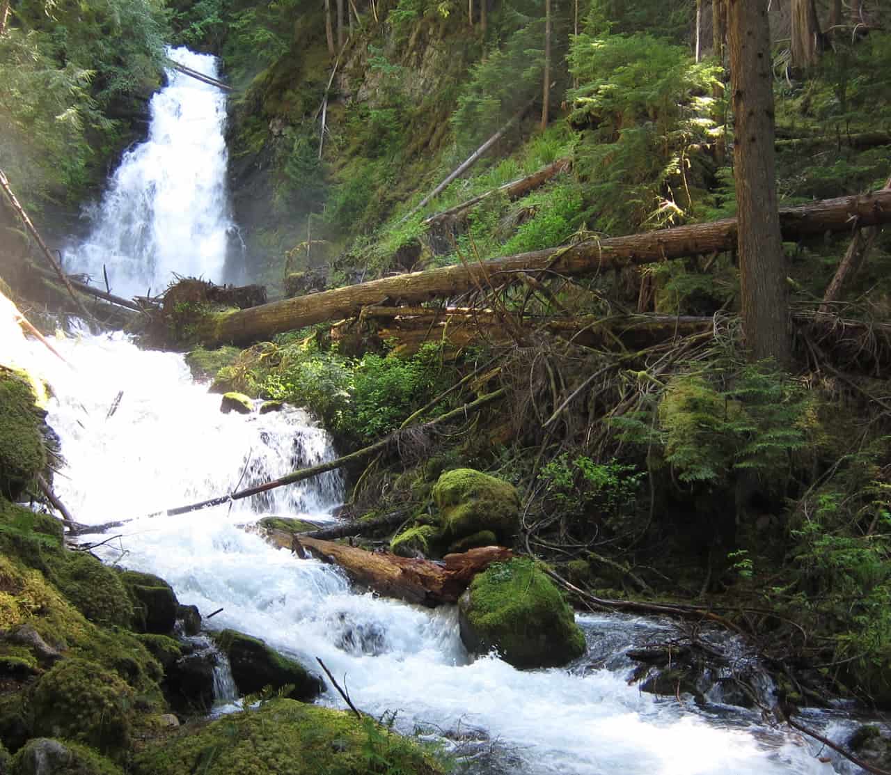
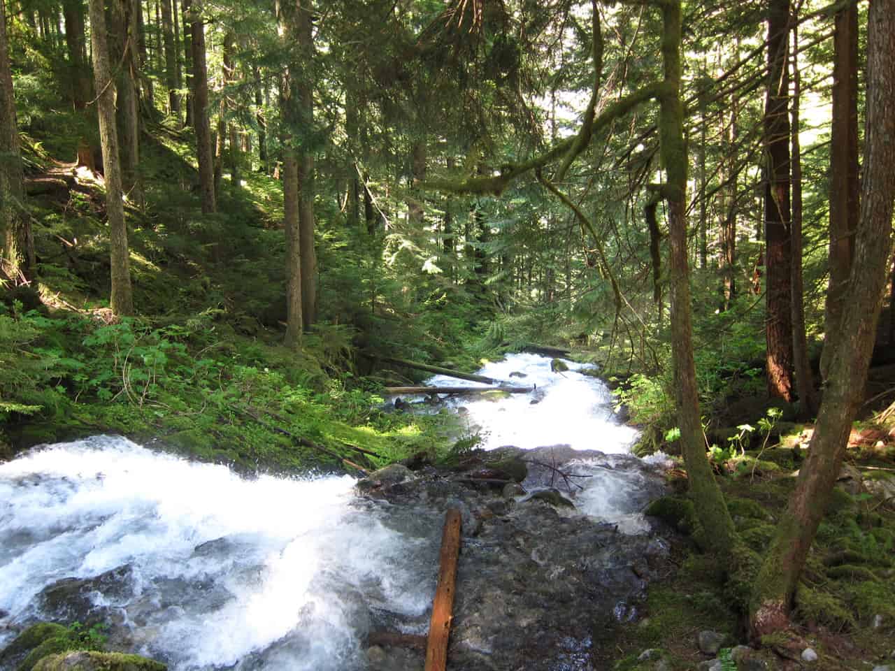
Upstream is a large waterfall that can sometimes be a popular destination for people short on time or who don't want to hike to the lake.
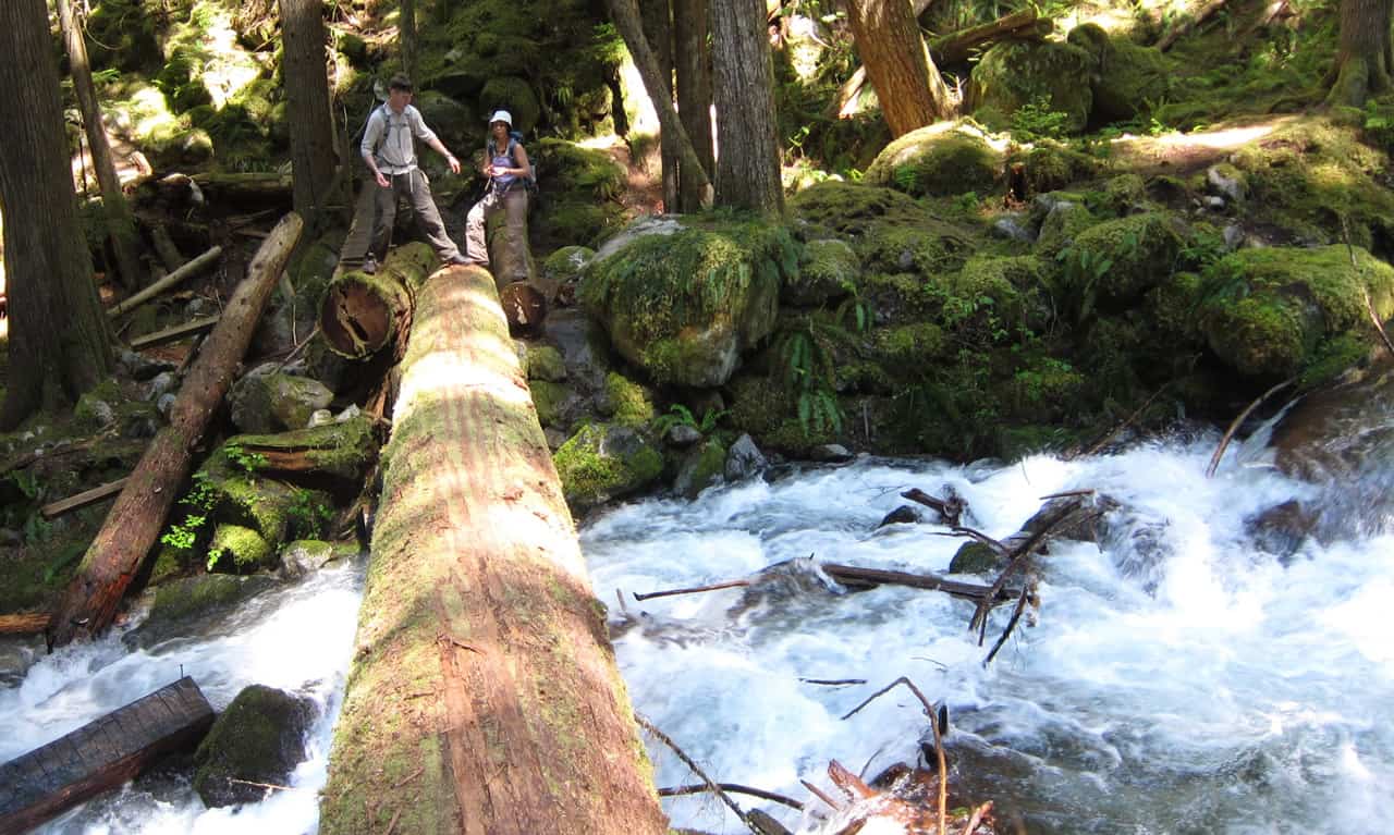
A large log serves as a makeshift bridge over the creek. The original bridge with its wire railing has broken in half and collapsed into the creek.
The trail performs a long sweep around the ridge, finally heading back to the creek quite awhile later.
At a point marked as "halfway" is a small bridge and an 'L-shaped' bench. From there, the trail leads uphill steeply with a large number of switchbacks before finally leveling off as it nears the lake.
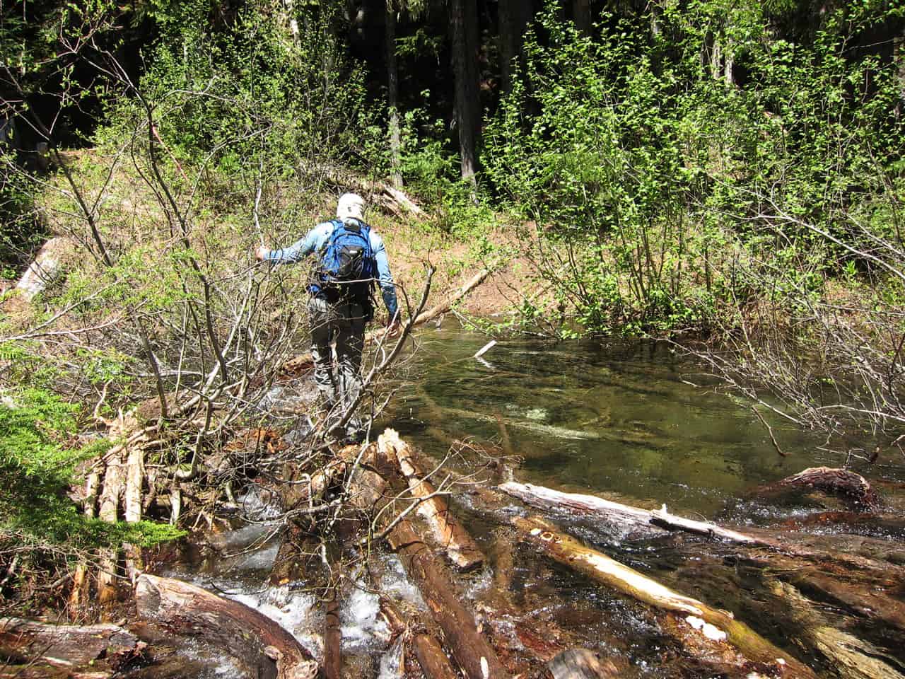
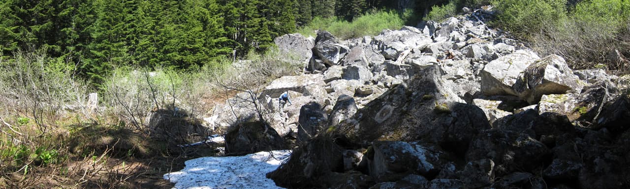
Over flat terrain is a small boulder field approximately 100 meters in length. Once across, it's a short and easy 200 meters to the edge of the lake.
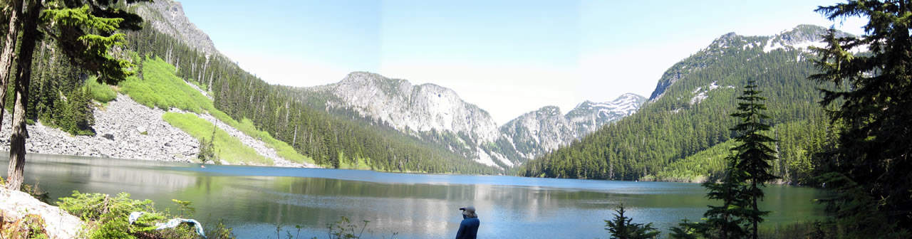
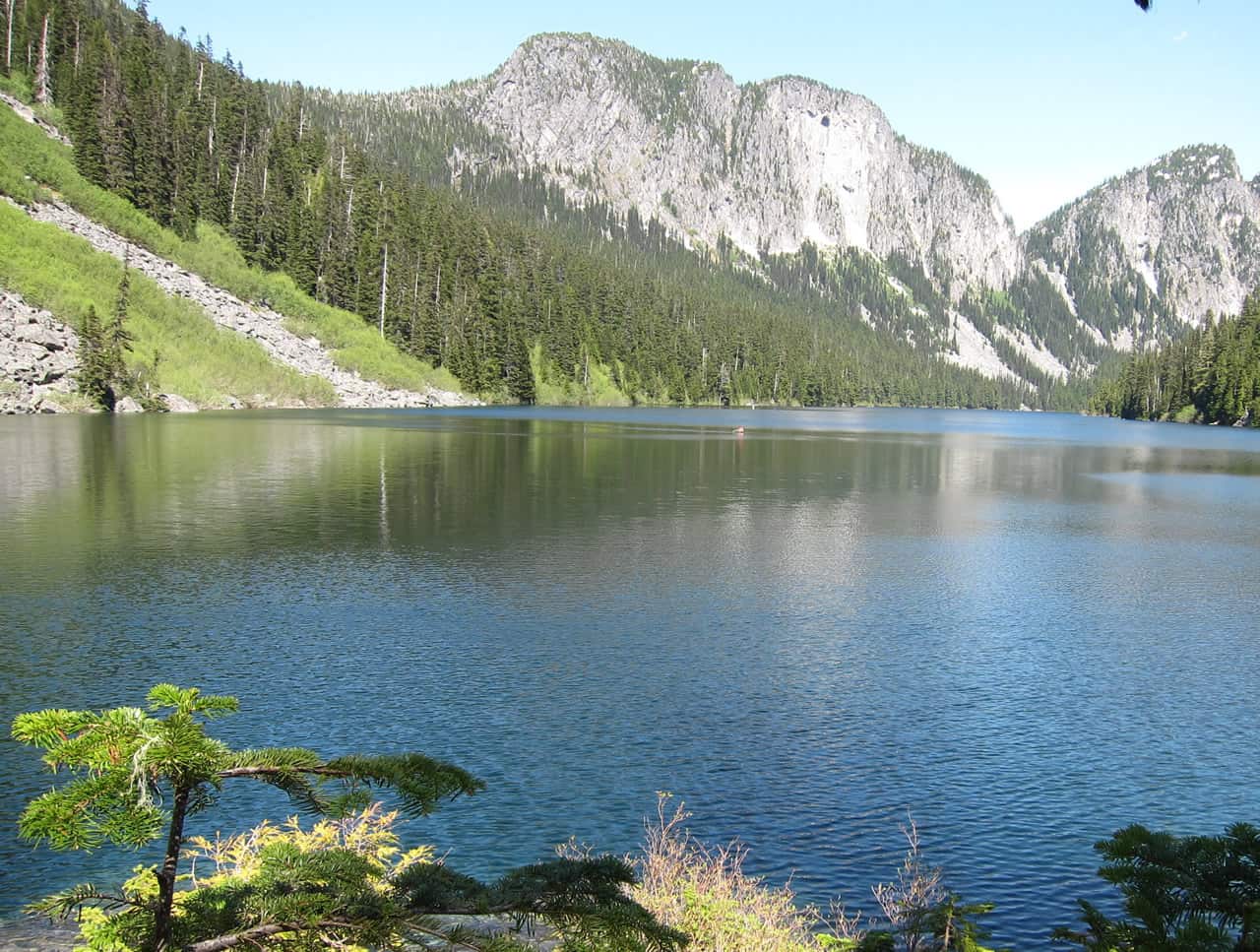
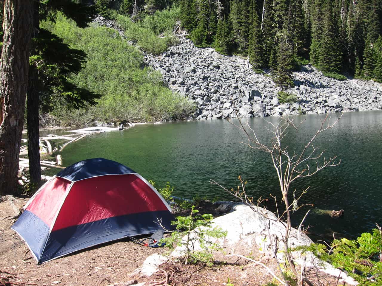
The lake has a good number of locations suitable for camping.
There are no formal trails around the shore of the lake.
Some people may choose to continue onwards past the campsite area and scramble Eaton Peak.
There are old tree carvings near the lake dated 1960; it would seem that the trail has been in existence for quite some time.