March 13, 2021
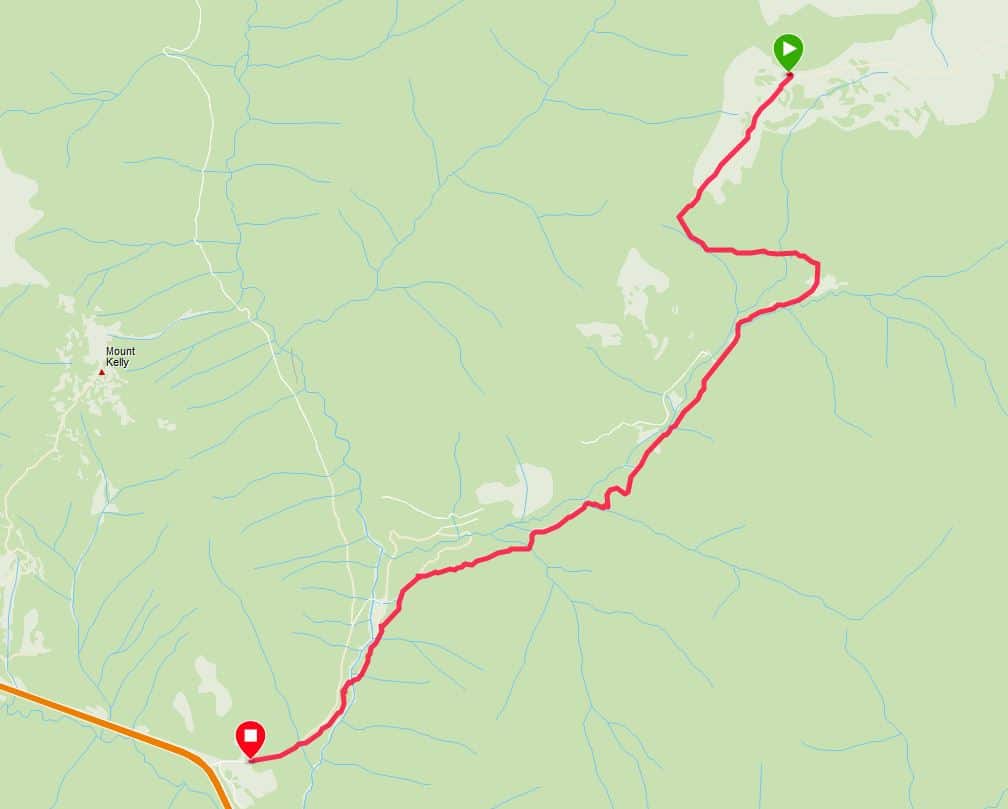
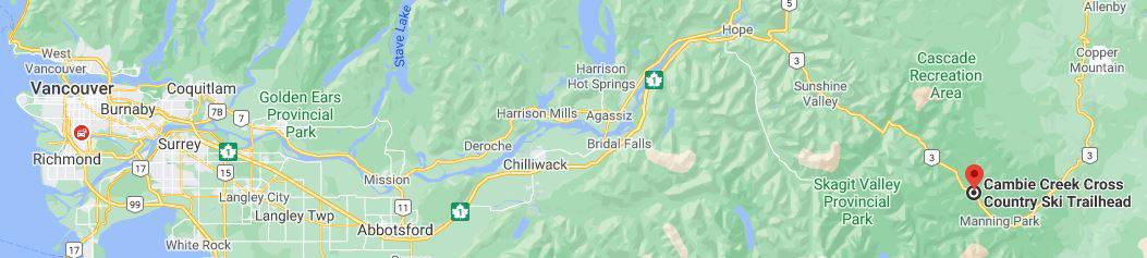
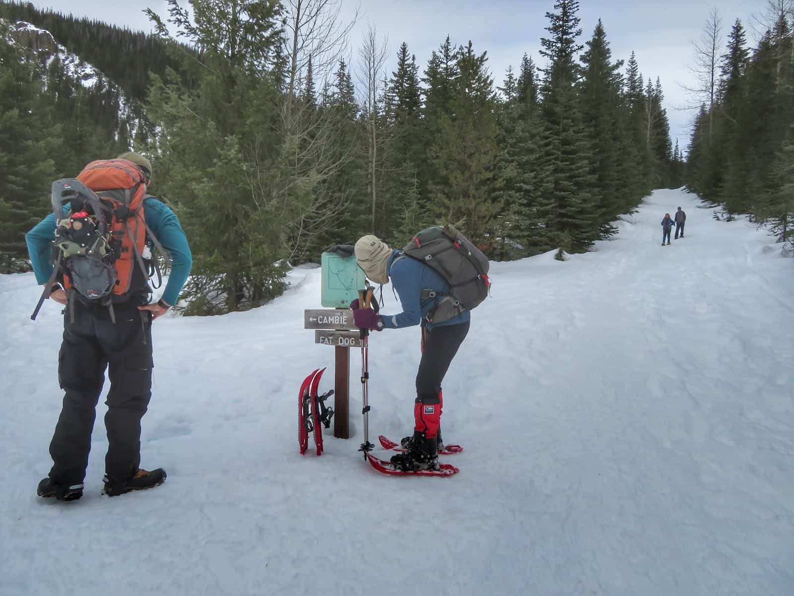
Fat Dog is a cross-country / alpine-touring ski route starting at the Cambie Creek area.
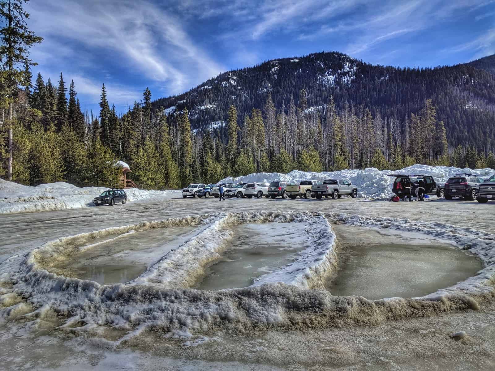
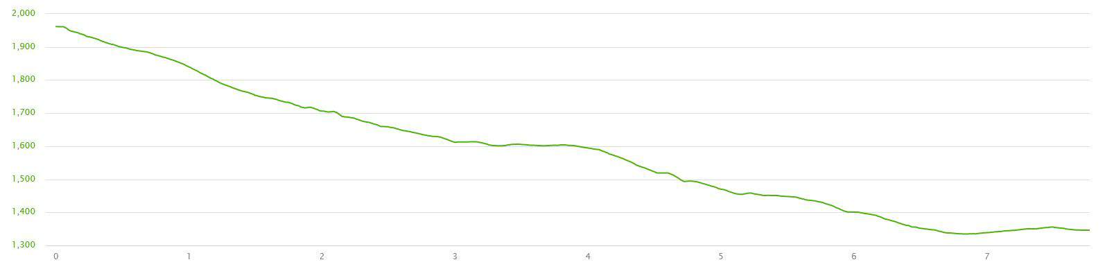
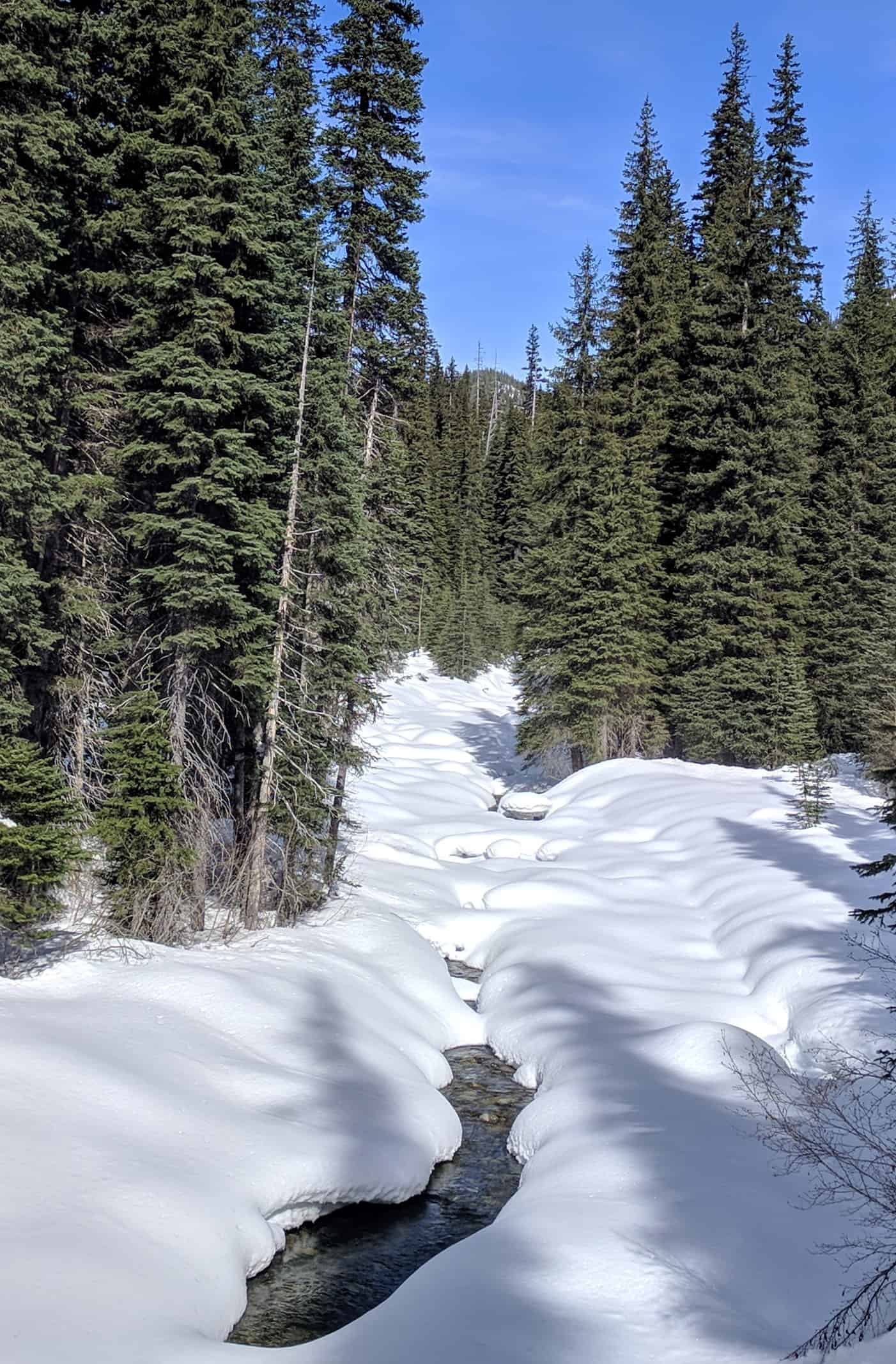
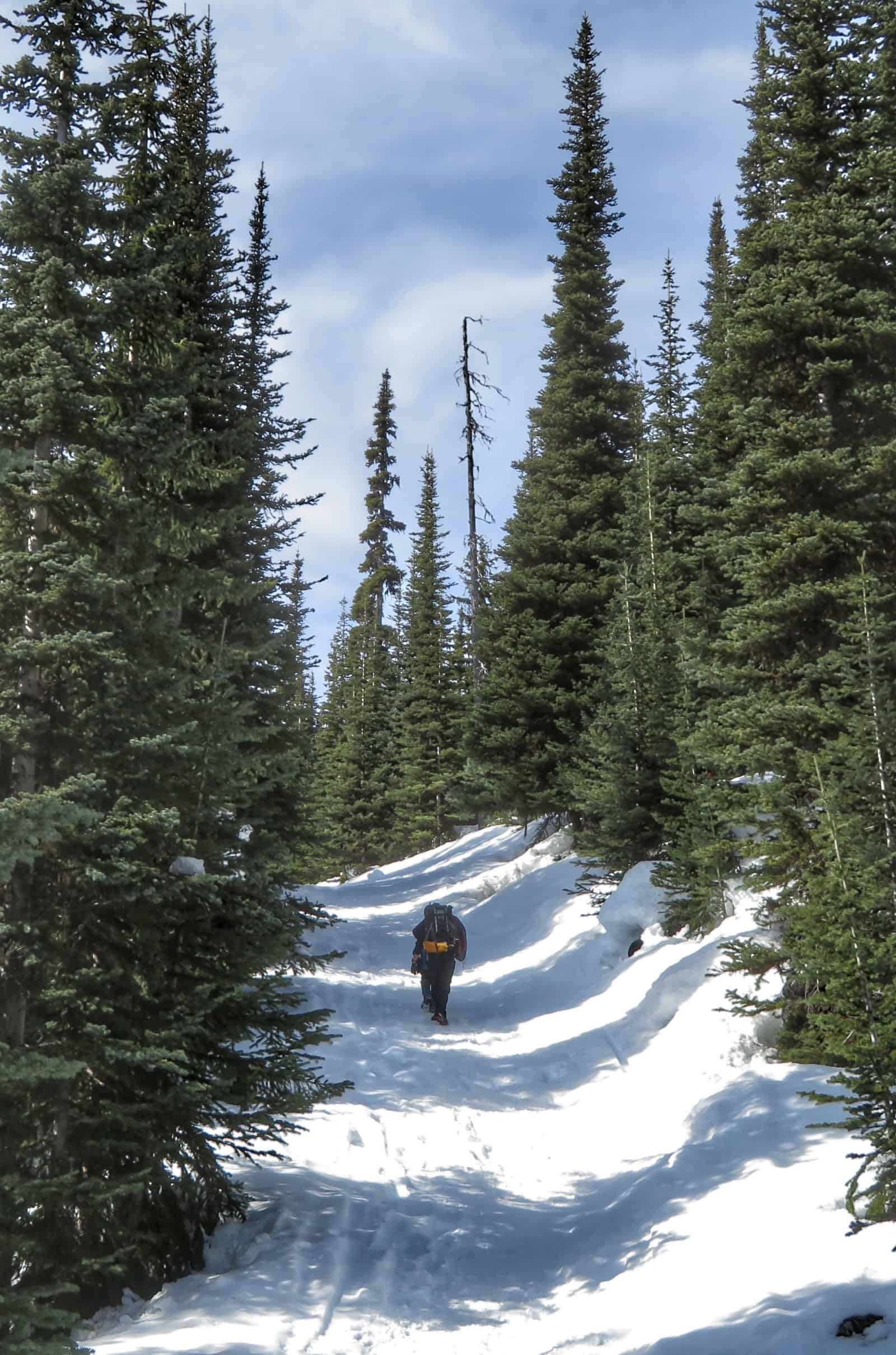
The trail begins at Cambie Creek and follows an access road for about 6km.
Cambie is a good alternative when you have limited time. Not much in the way of turns, but is a nice trip through the trees.
The Similkameen River is home to one of British Columbia’s most abundant native fish, the Mountain Whitefish.
The best time to catch them is in late February to late March (due to fishing regulations.)
Despite all the elevation gain, Fat Dog is on an old road and doesn't get too steep.
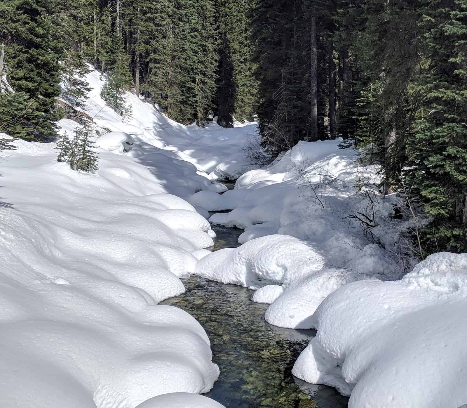
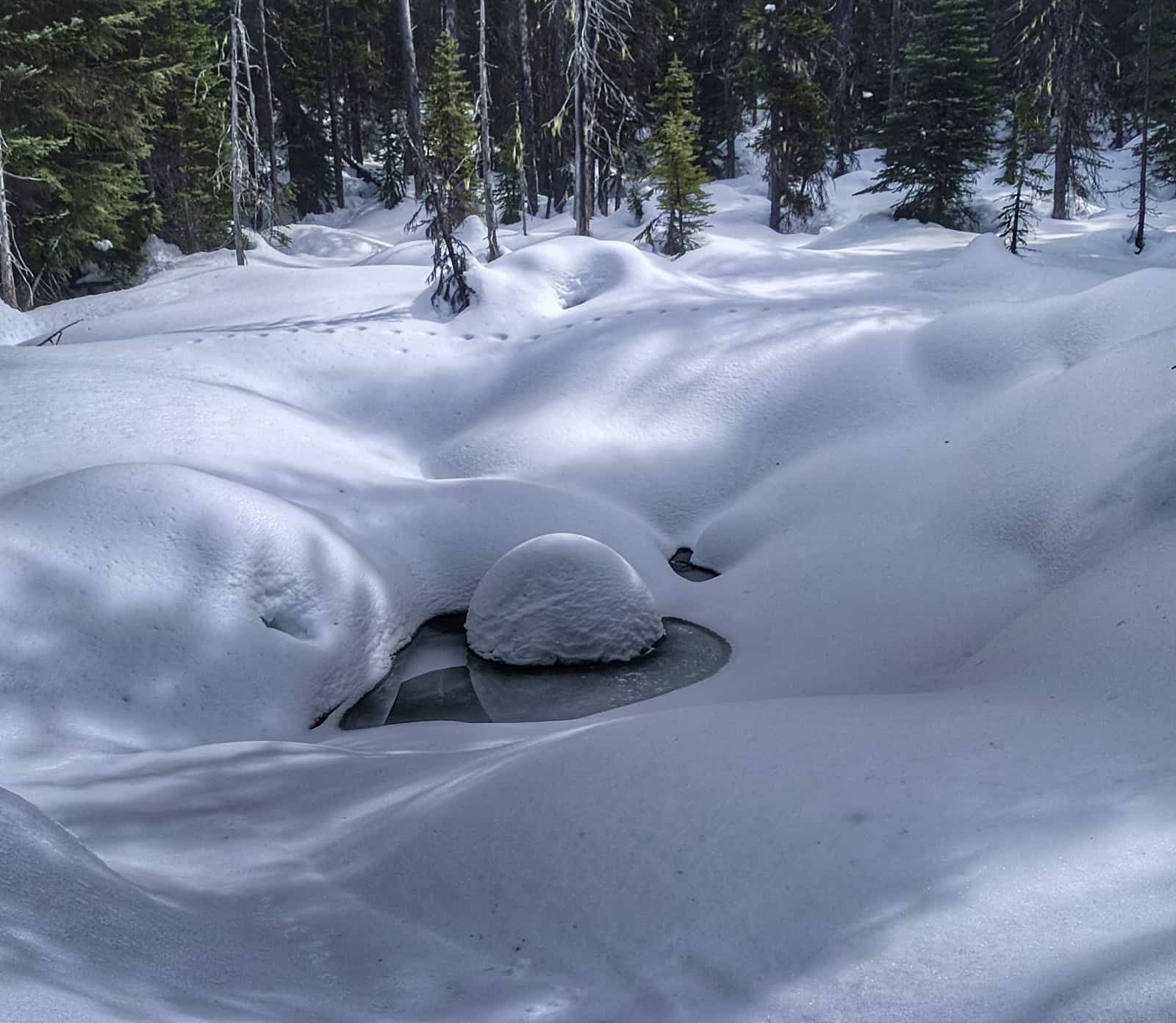
There are no bridges in the deactivated logging road and unmaintained trail.
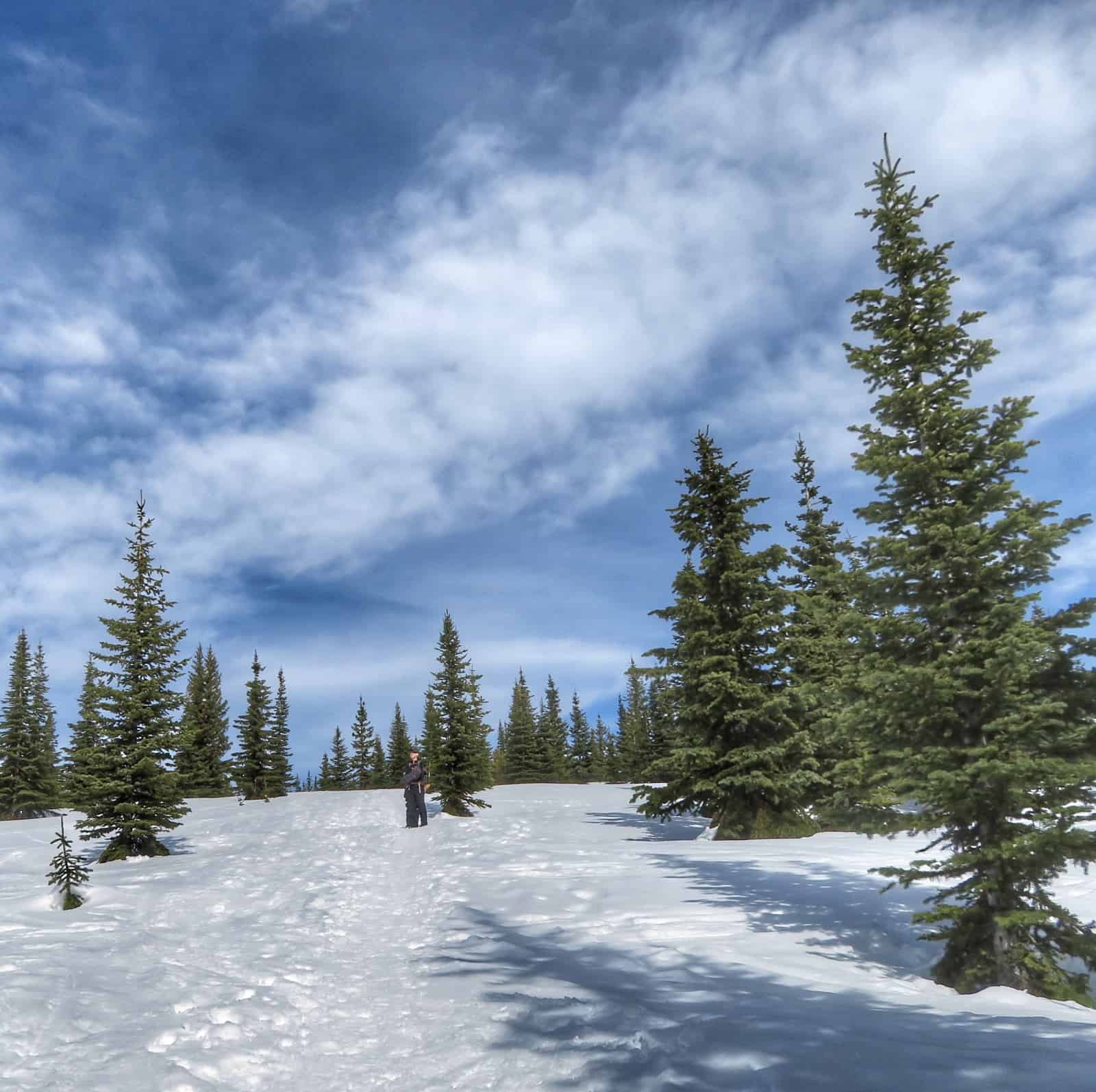
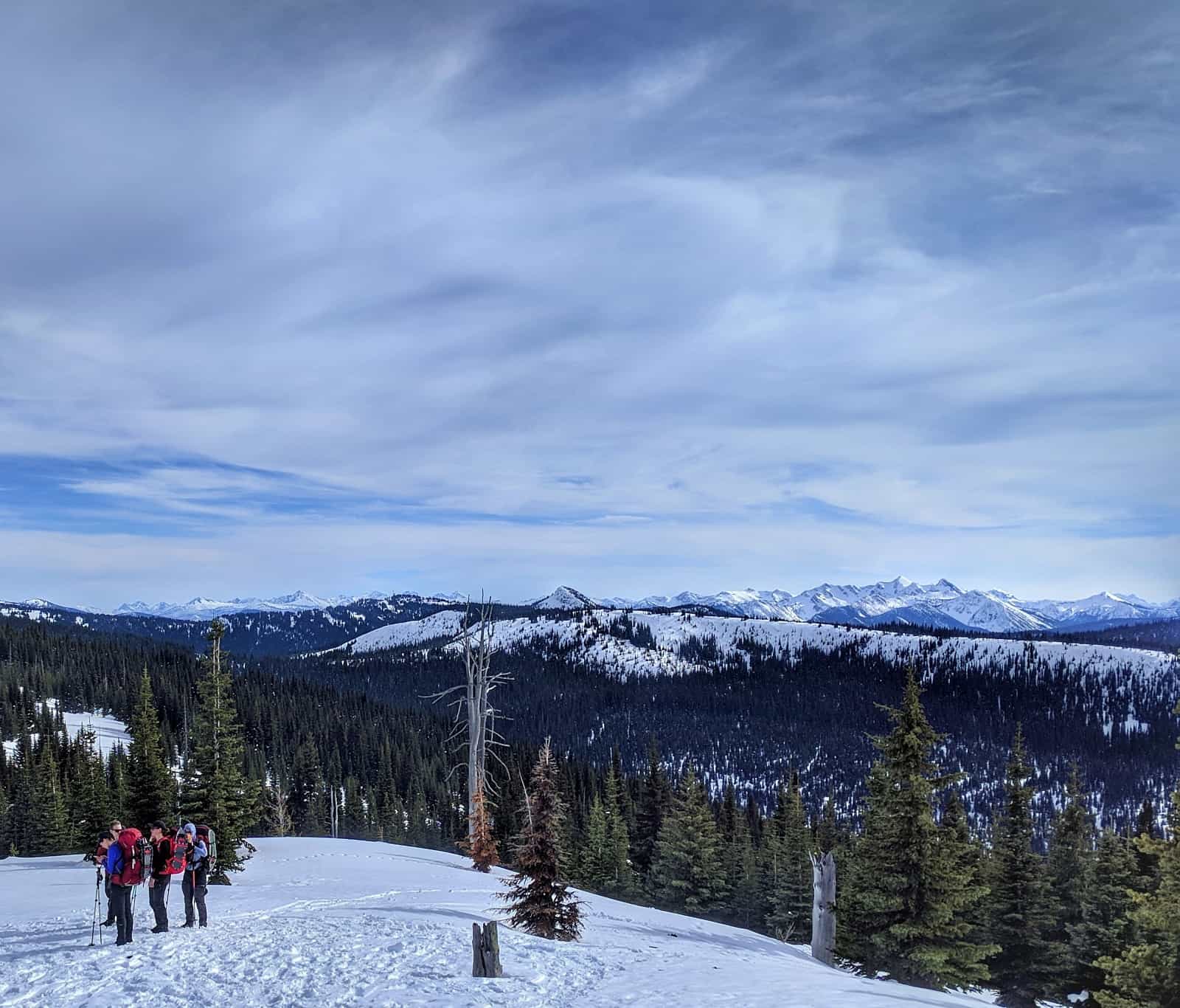
From the end of the logging road, the trail climbs towards Big Buck and Three Brothers Mountain.
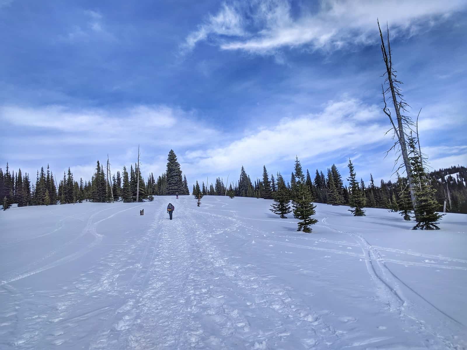
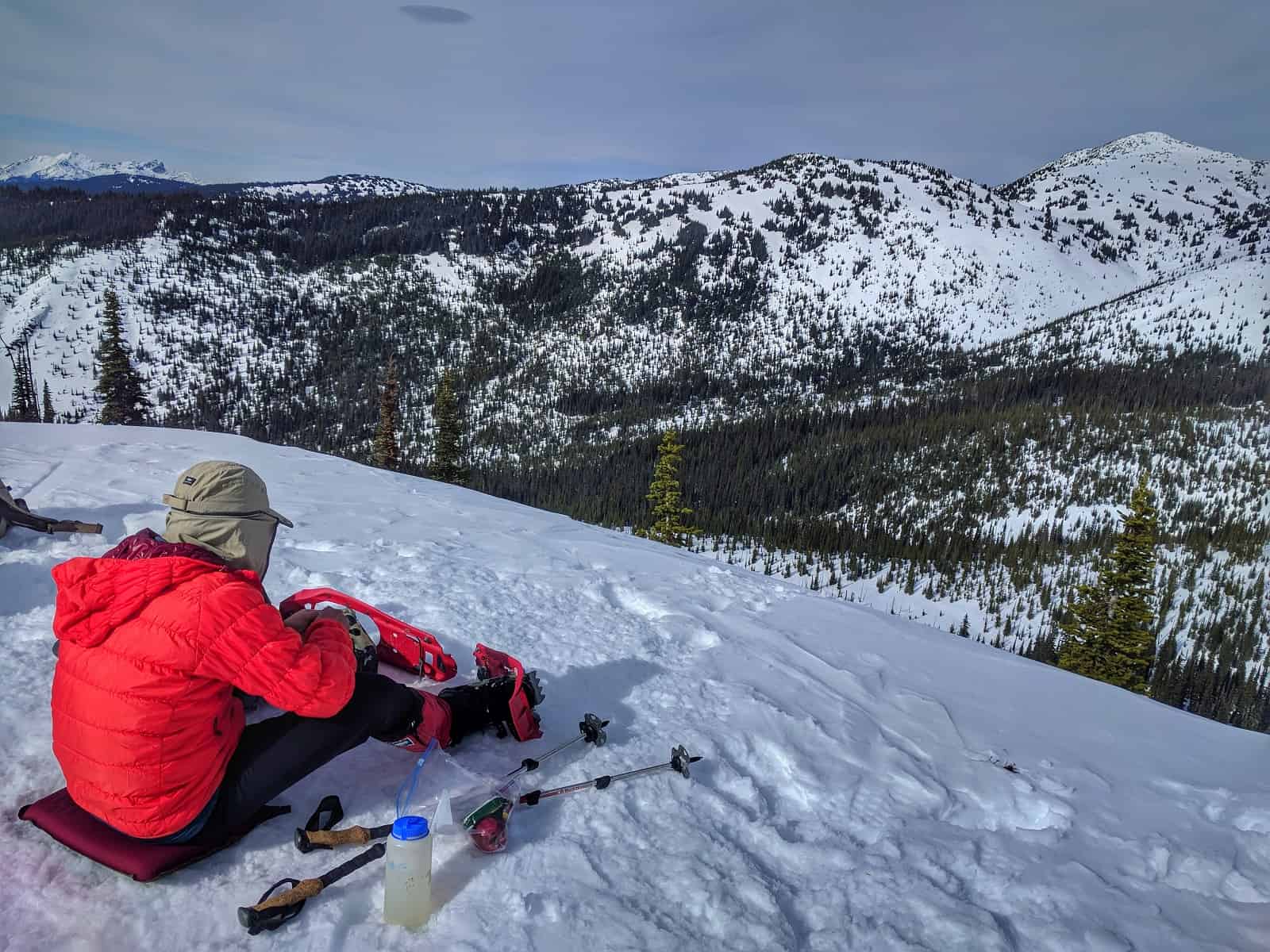
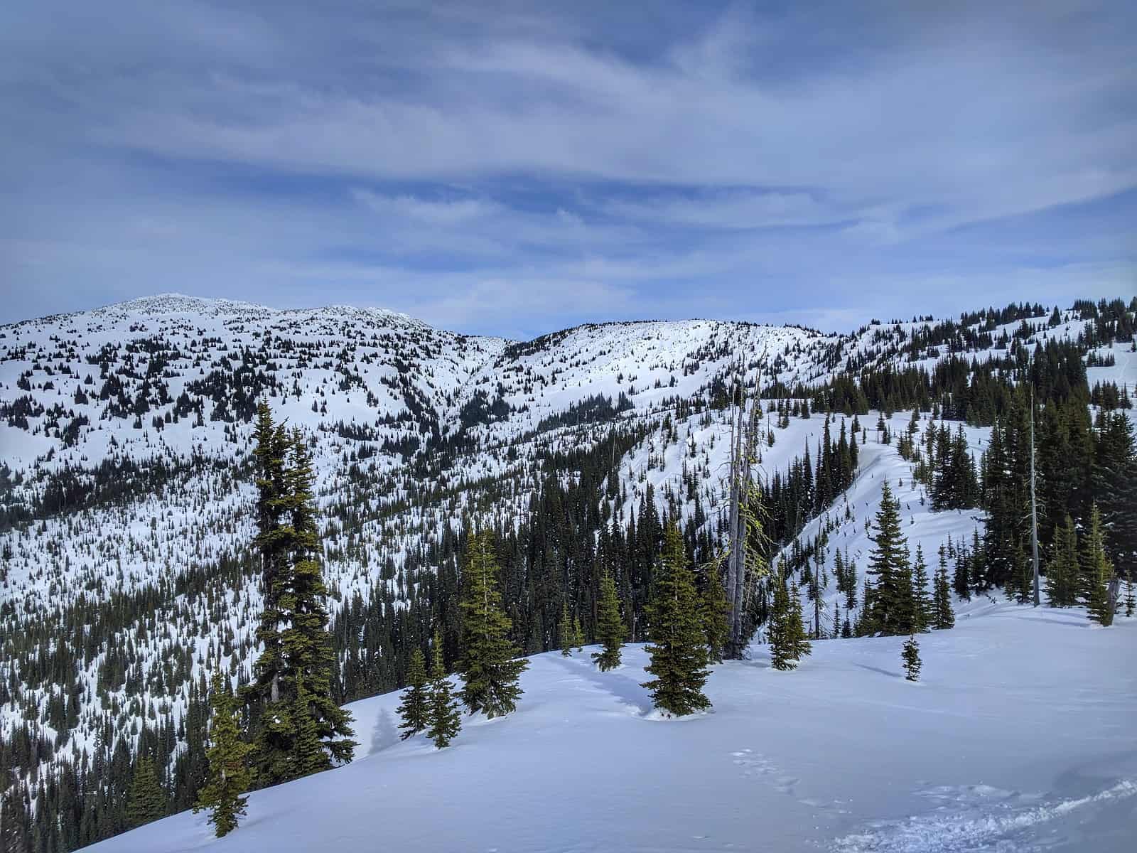
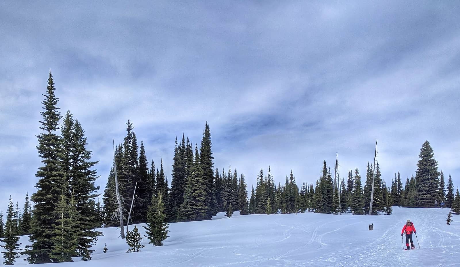
The alpine area has excellent meadows for skiing.
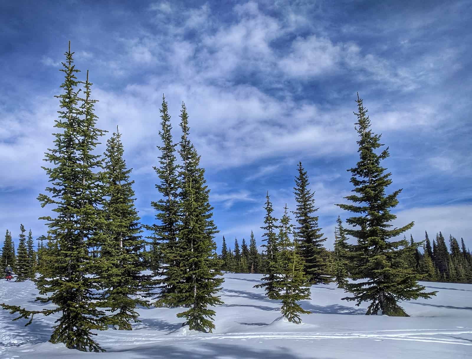
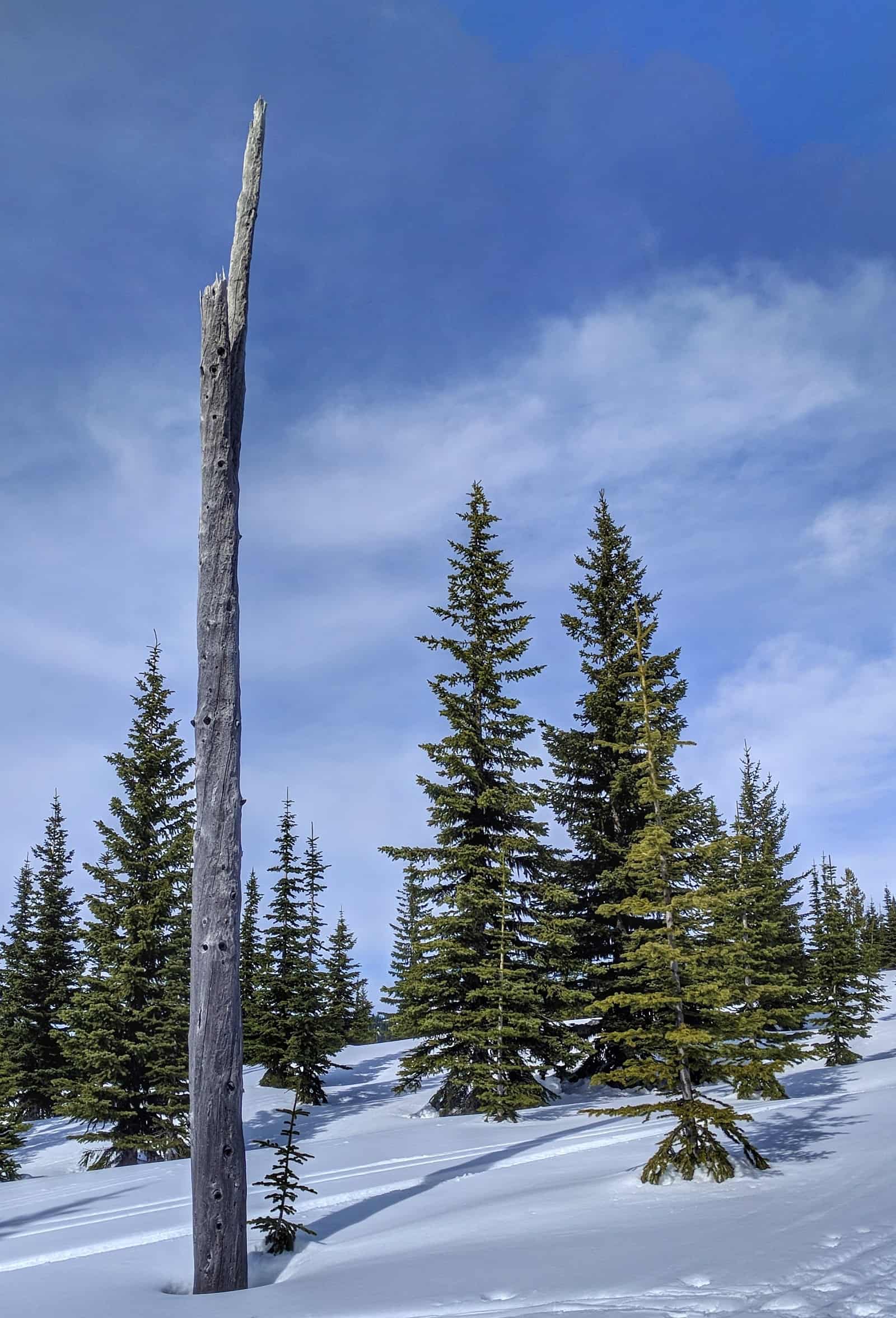
Here you can see the remains of a large burn.
Approximately 90% of fires in the last decade have been human-caused, either through negligence, accident, or intentional arson.
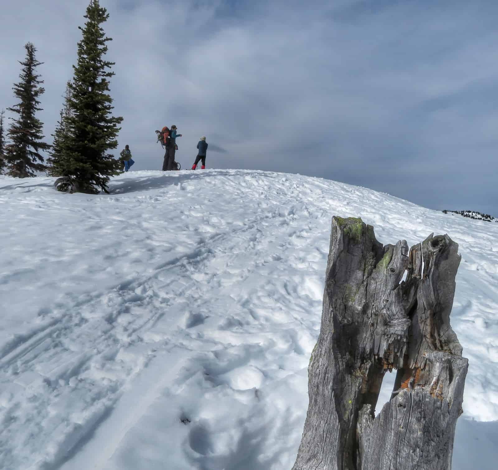
An unnamed hill marks the end for most people.
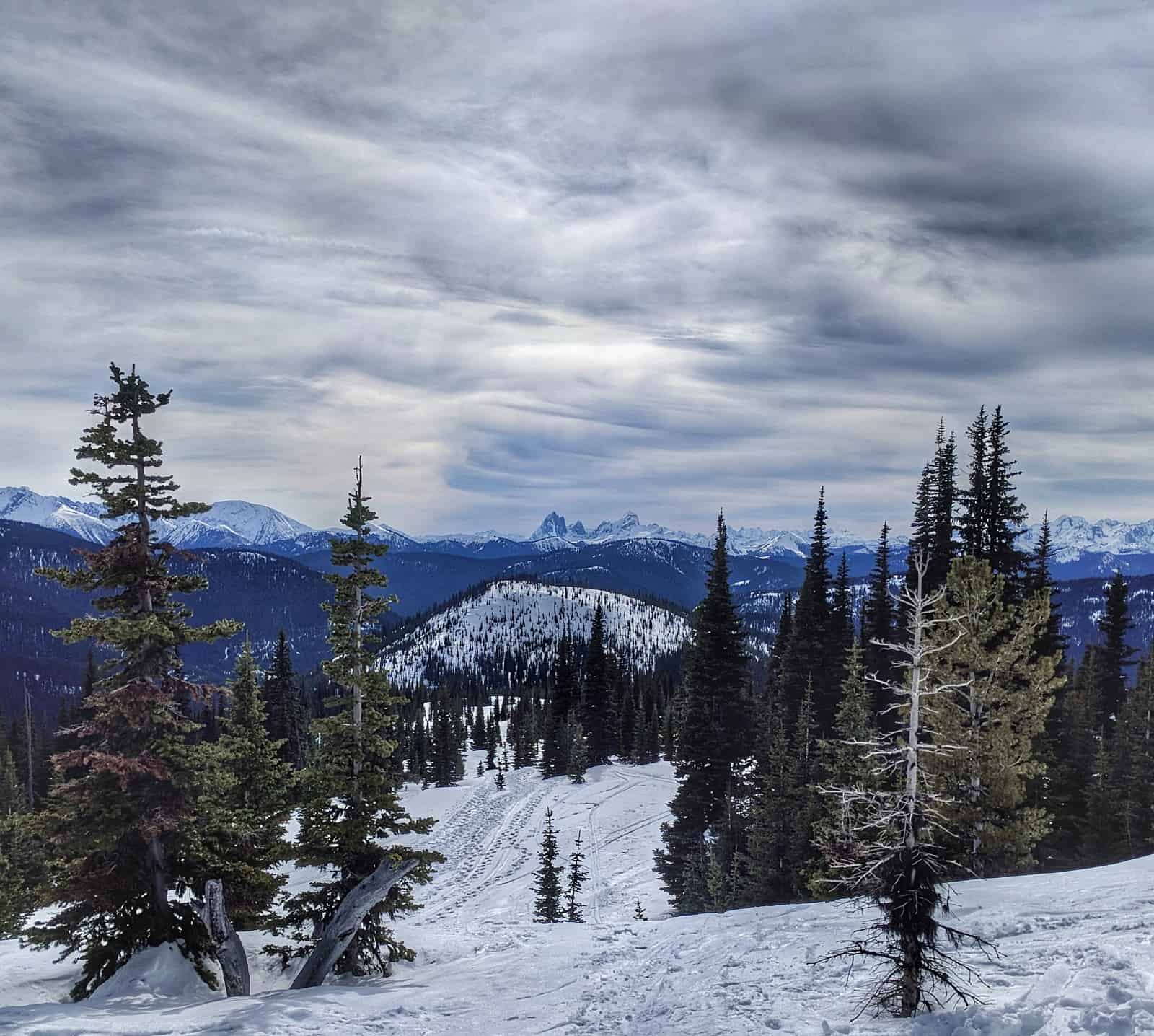
The ridges and meadows lead up towards the Heather Trail and an alternative descent via Blackwall Peak road.
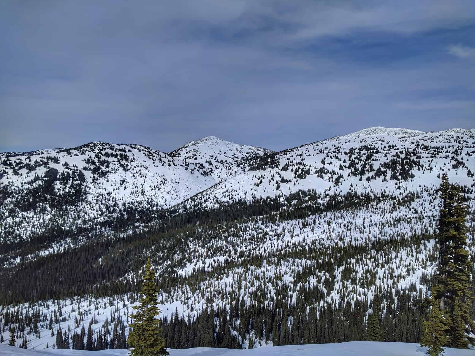
The Brothers are in the Hozameen Range.
The Hozomeen Range marks the divide between streams that flow west to the Fraser River and those that flow via longer routes via the Nicola River, Thompson River, and Similkameen River tributaries into the Fraser or Okanagan River.
E.C. Manning Provincial Park is wholly within the boundaries of the Hozameen Range.
Some of the reputable Hozomeen Peaks are difficult to ascend.
The ones I explore do no require considerable climbing or mountaineering experience, just a willingness to start early in the morning.