August 2, 2020
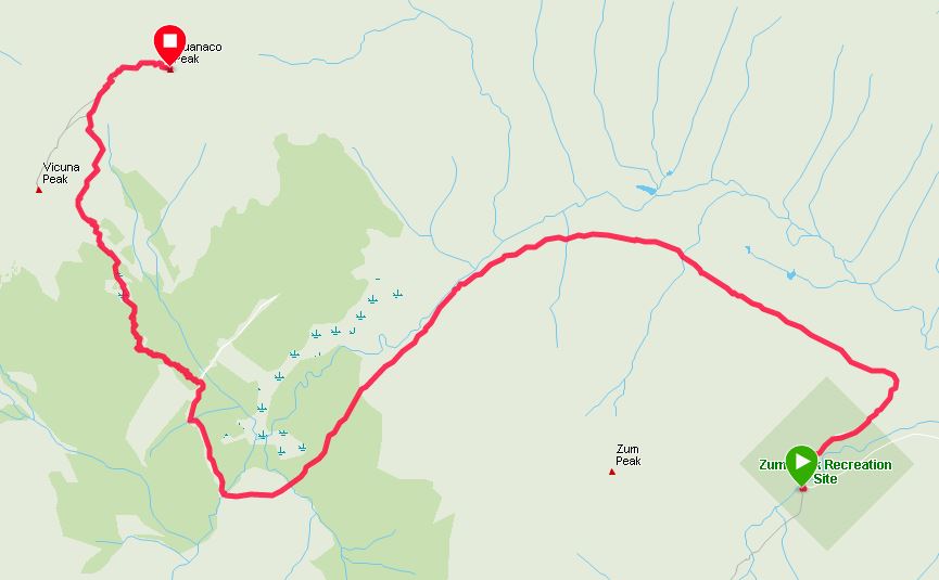
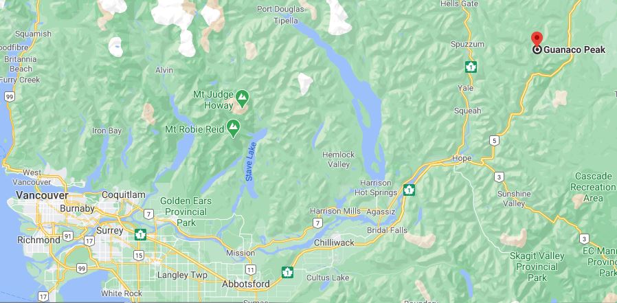
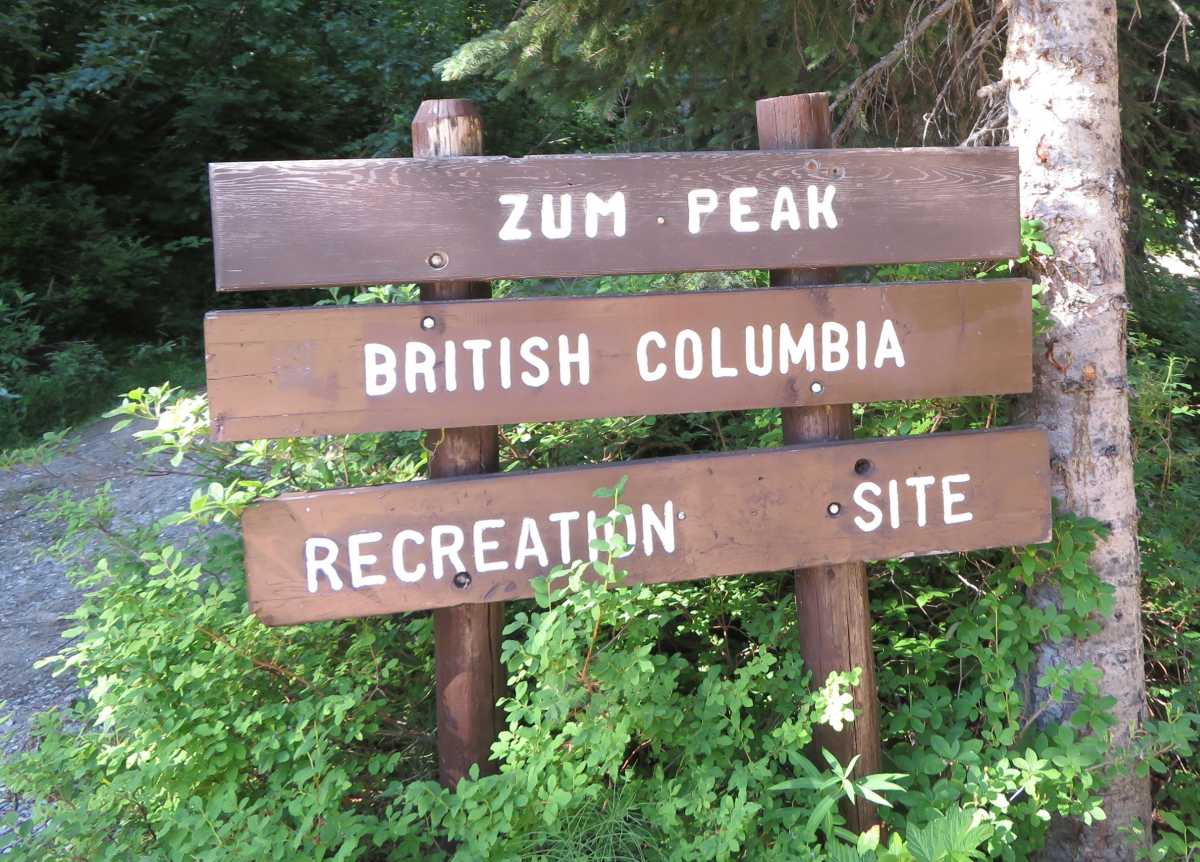
Located off Highway 5, access is from the Coquihalla Lakes exit (#228) and then on to Upper Coldwater Road heading to the west. Following this will lead to the Zum Peak Recreation Site at the 8km mark.
If you have a 4x4 and don’t mind paint scratches, you can easily make it 4-5 k down the road until the road narrows more.
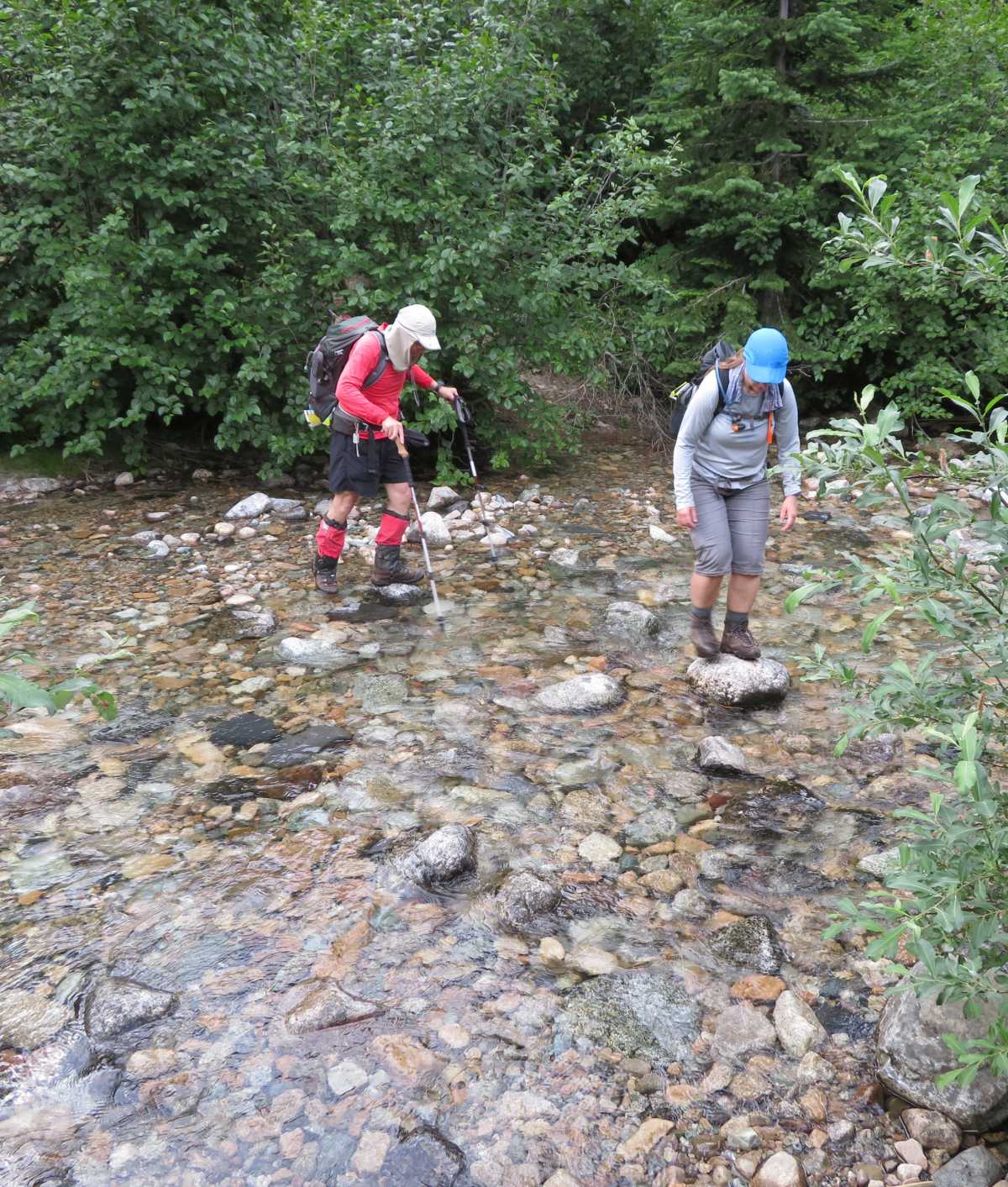
Towards the end of the forest service road, there are two creek crossings. When running fast, they can go below knee height in some sections.
Passing the forest section, a section of the trail is very muddy and can be slippery. The use of gaiters may be a good idea.
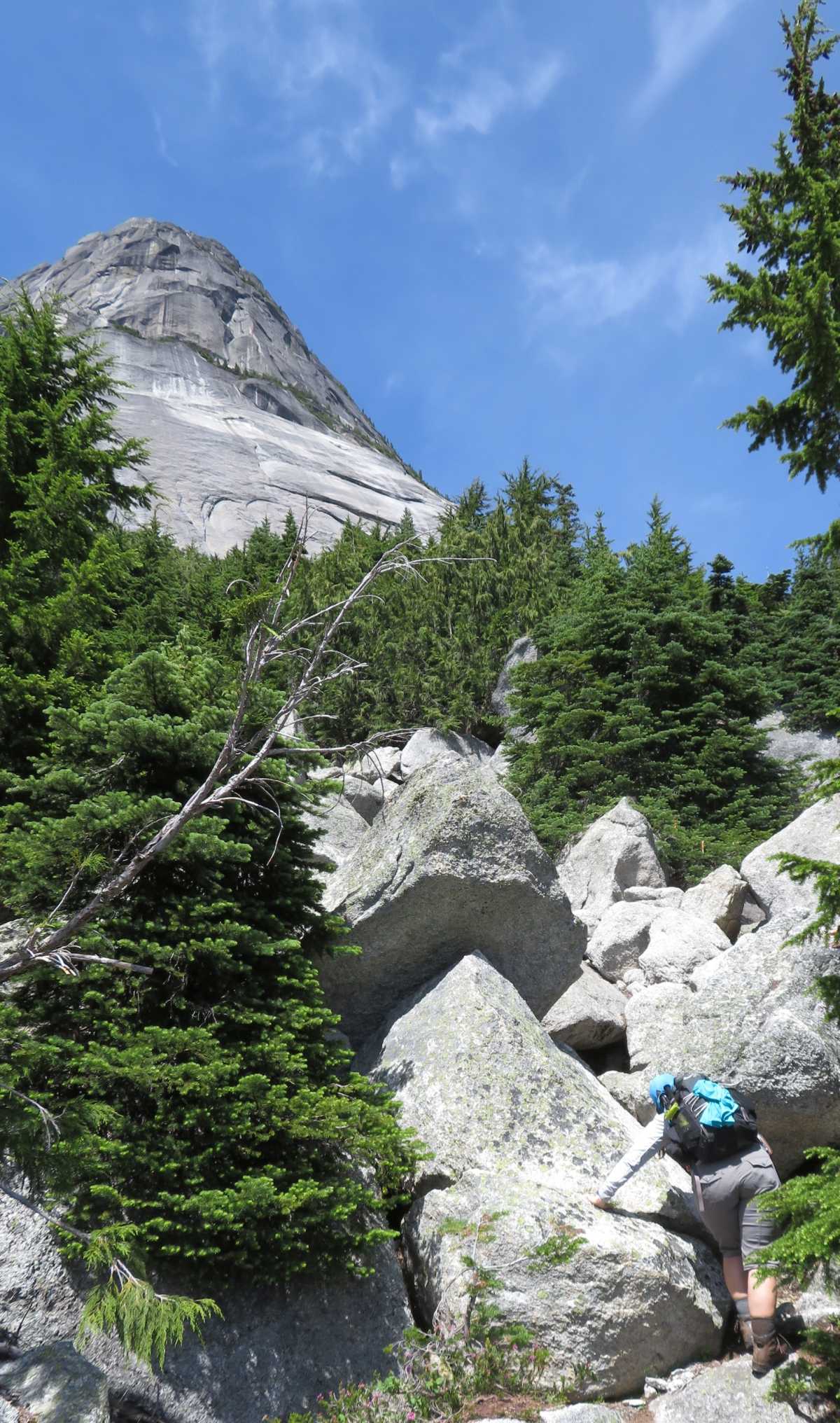
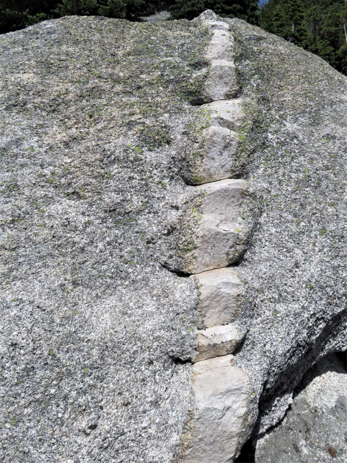
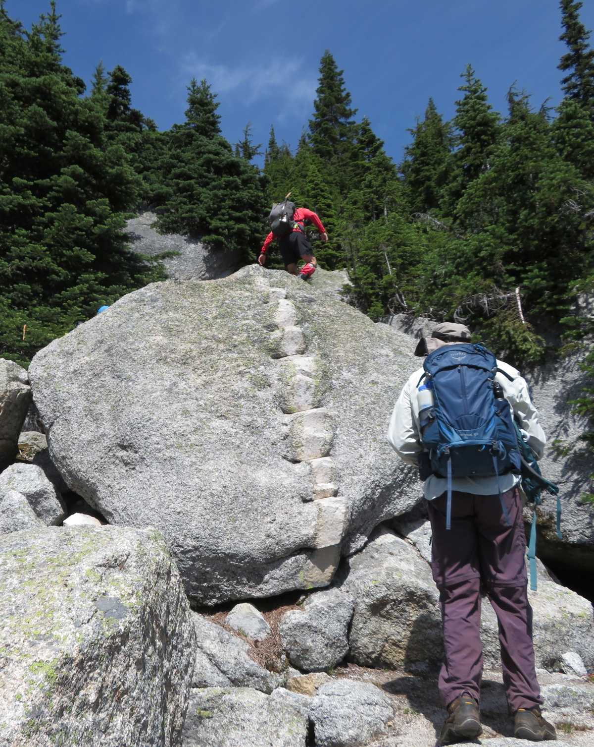
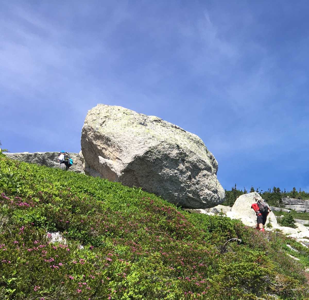
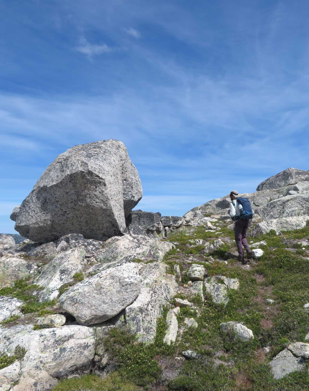
Higher up the trail gets into an area of giant boulders, including one with a neat staircase on an intrusion.
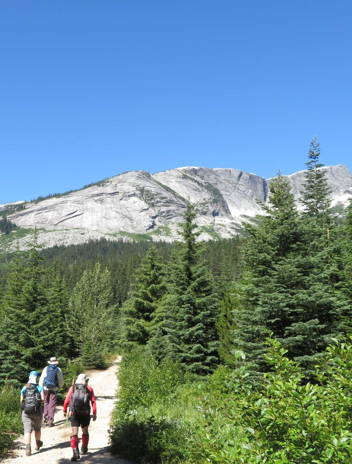
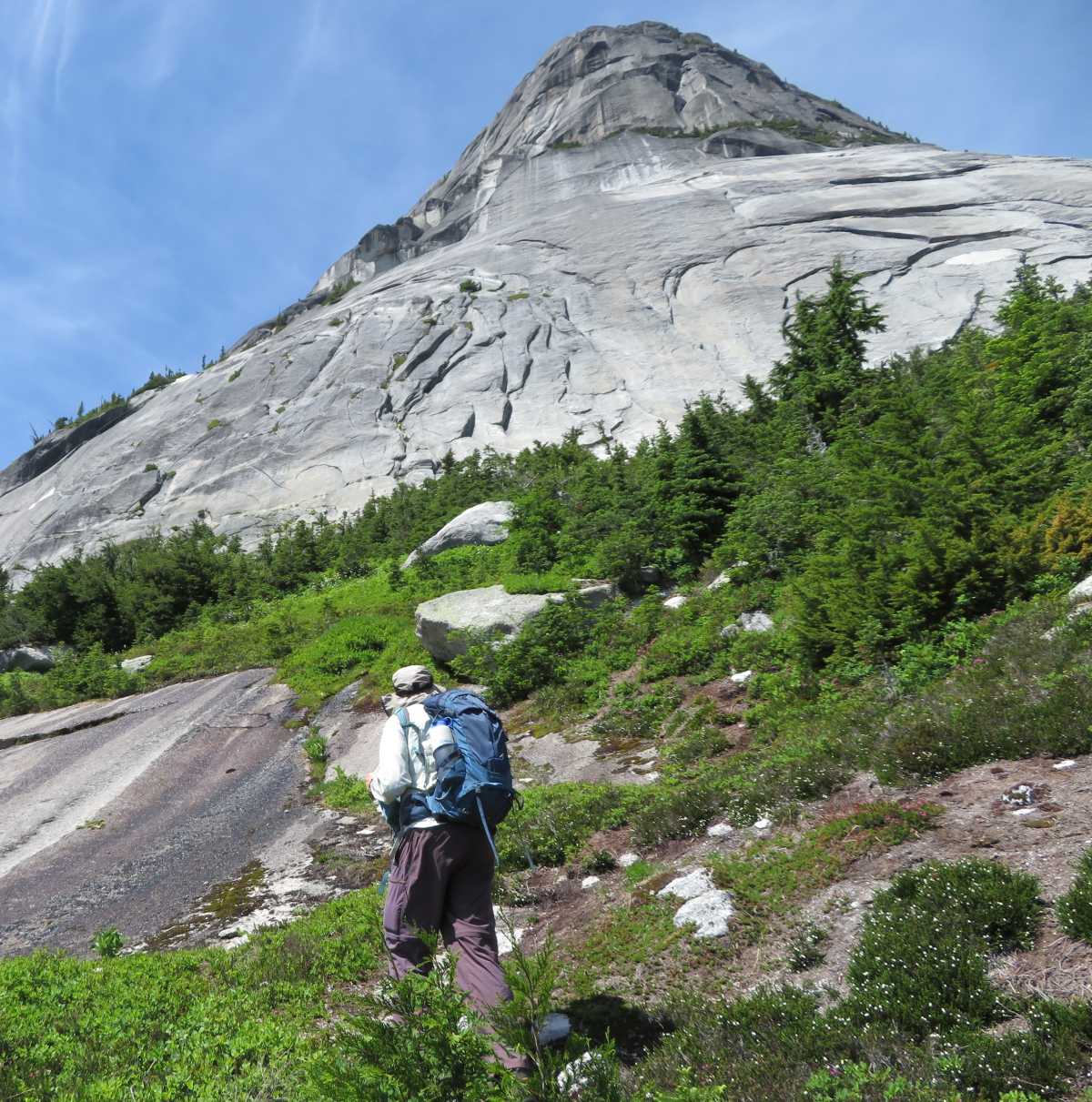
The trail ascends into more stunted subalpine woods and heather/herbaceous meadow.
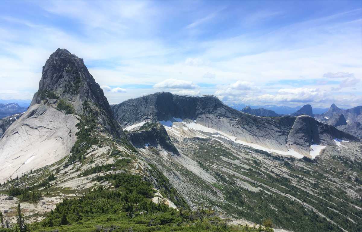
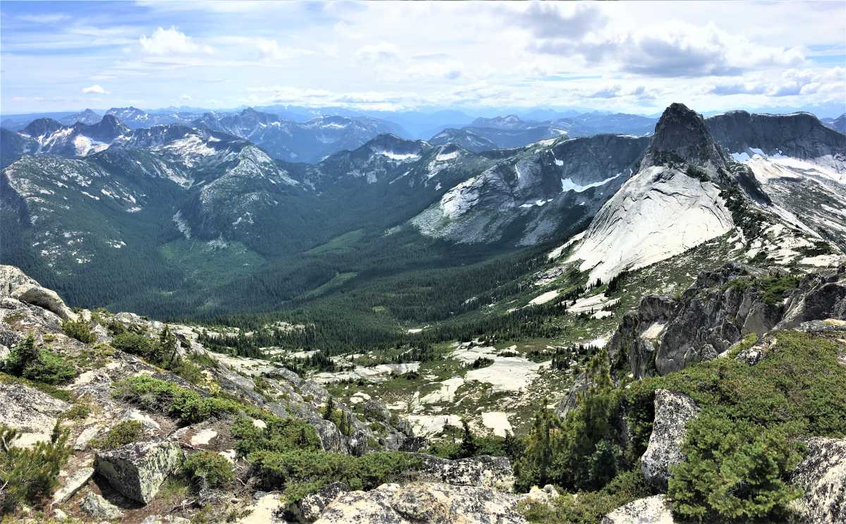
The enormous pyramid of Vicuña looms above, while the more elongate form of Guanaco rises to the northwest above an open, treeline bowl.
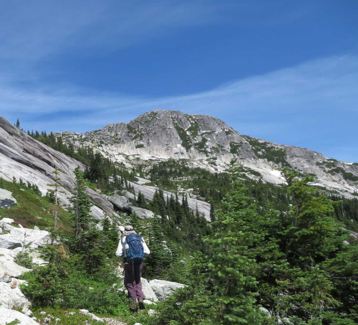
The route traverses the bottom of a massif, crossing meadowy terrain broken by small patches of stunted trees.
But we weren't alone. Actually, this is the first time I see a ground squirrel around this area.
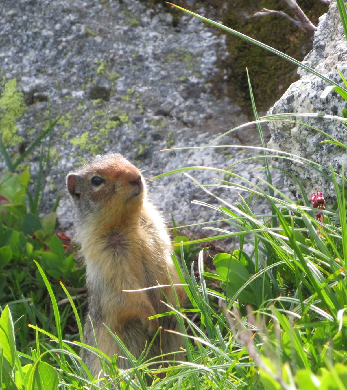
These medium-sized rodents have a big appetite for fresh greens.
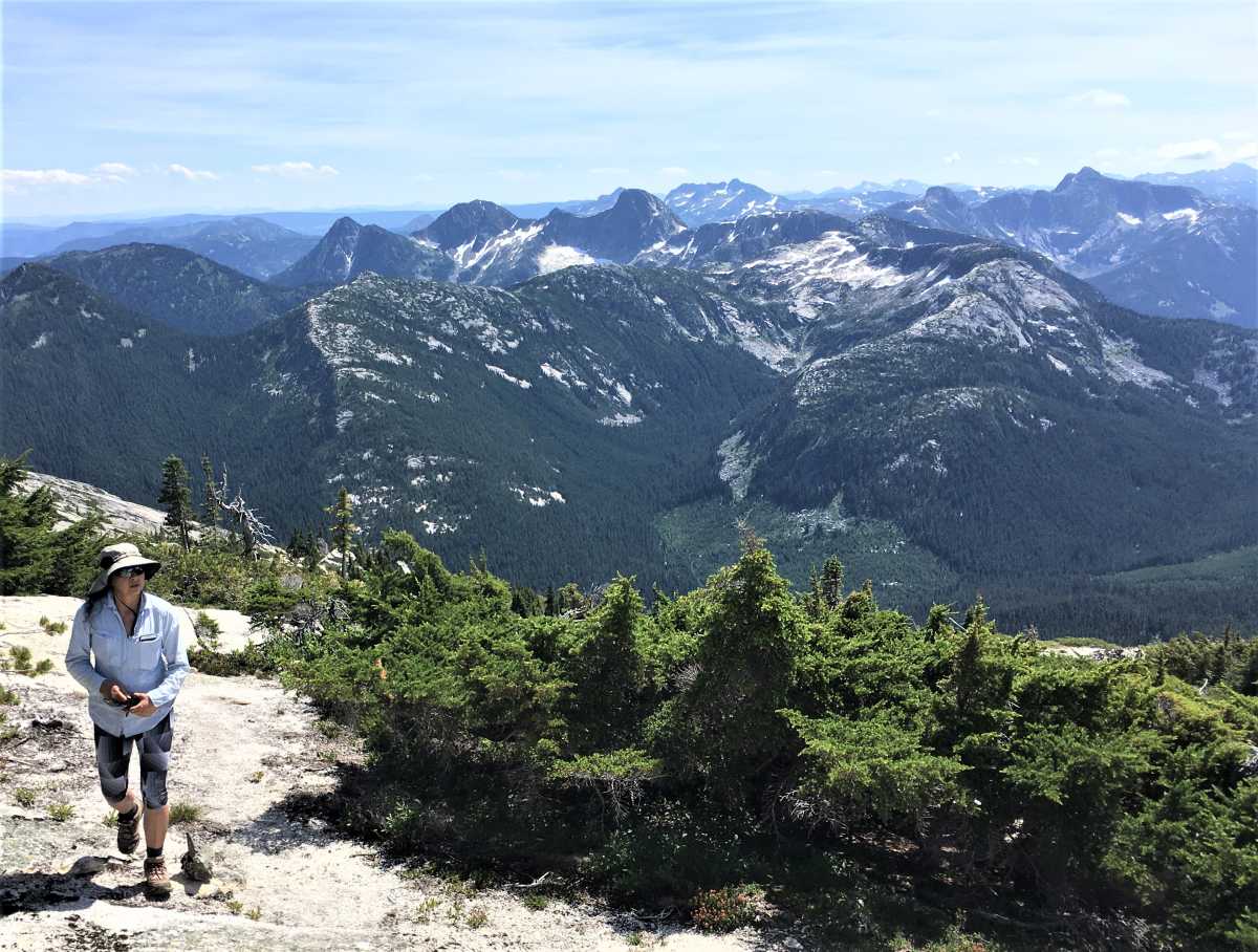
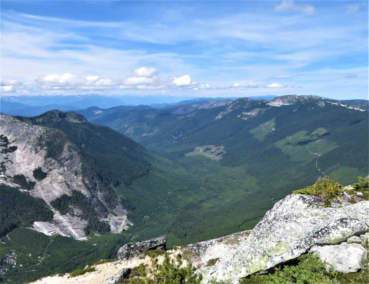
The views here are already spectacular, extending beyond the predominantly wooded triangle of Zum Peak to the low swells of the Okanagan Highlands.
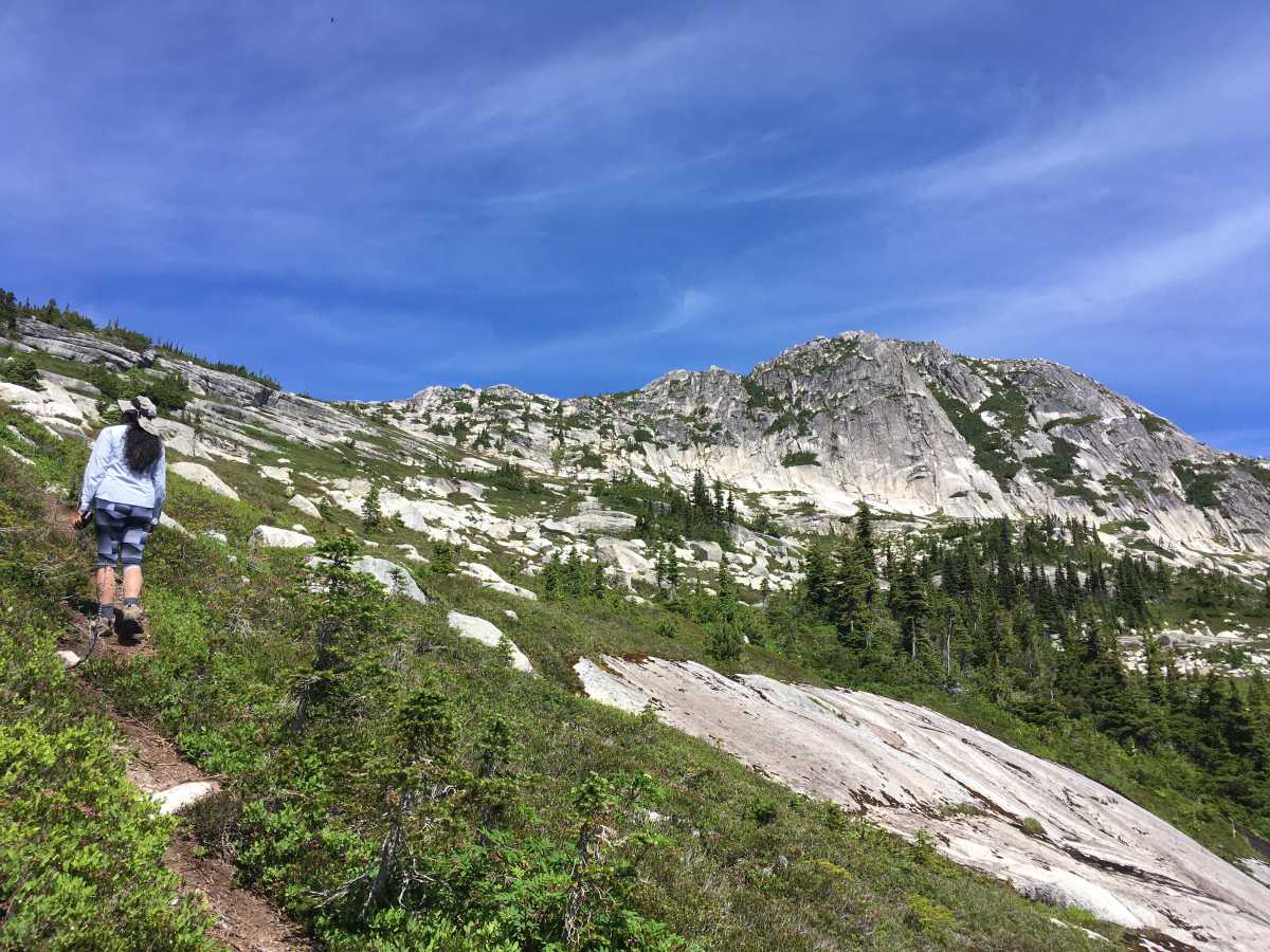
A broad, moderate heather slope dotted with boulders and small slabs leads to the wide column between Vicuña and Guanaco.
The east and north are dominated by the Okanagan Highlands and the rounded mountains leading north past Stoyoma and Hewitt Bostock.
Guanaco is a less appealing peak to the climber. It is just slightly higher than Vicuna and not as rugged, and there are more trees and bushes.
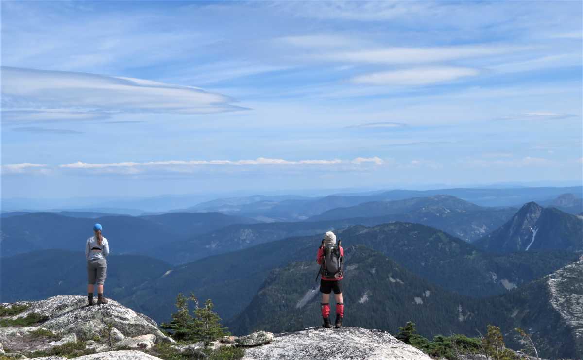
Not surprisingly, the view from the summit is expansive and alluring.
The ascent to Vicuña requires a few acrobatic moves. As of 2006, there is a chain and cable attached to a bolt providing psychological relief.
The vicuña and guanaco are South American camelids that live in the high alpine areas of the Andes.
Vicuñas are relatives of the llama. They may be the wild ancestors of domesticated alpacas.