June 21, 2020
Originally a First Nations route for hunting and trade, the HBC Trail played a key role in British Columbia’s early development.
The HBC Trail was completed in 1849 by the Hudson’s Bay Company with the help of local First Nations.
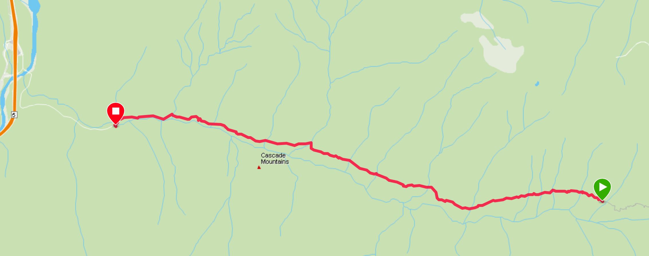
The whole route is about 74 km long when traveling from Peers Creek/HBC Trail recreation site trailhead (Hope side access) and exiting at the Tulameen Plateau, west of Princeton.
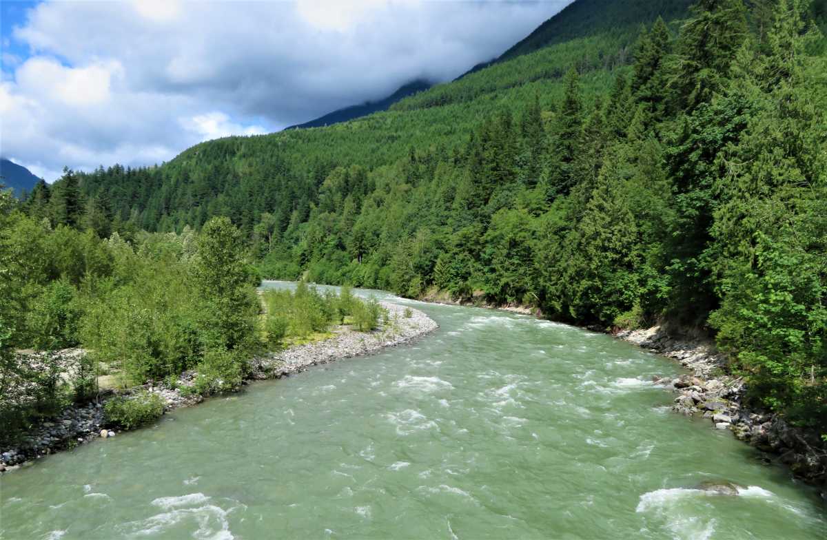
The trail linked the Fraser River at Fort Hope with Fort Kamloops and other important fur forts farther north to Stuart Lake.
For more than a decade, the HBC’s fur empire in Western North America depended on this trail.
Besides ensuring the survival of the HBC, this trail helped the British claim to lands that would one day become part of Canada.
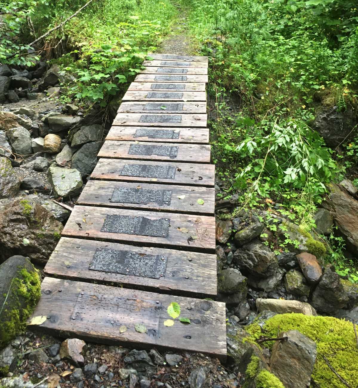
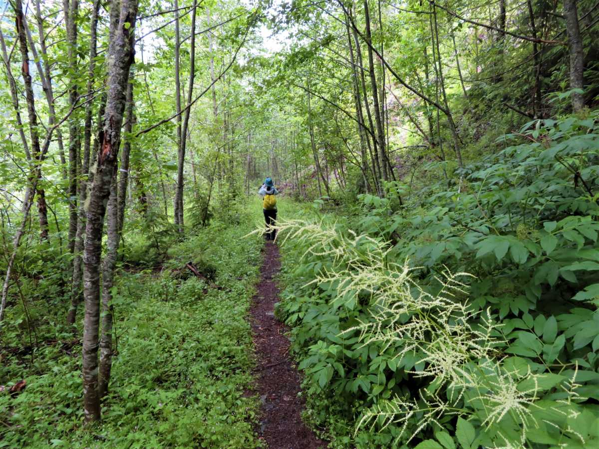
The first 6 km of the HBC Trail to Manson’s Camp sits on top of an old logging road.
As logging is resuming on this area, in 2021 a new trail will depart from the parking lot and travel up the valley on the south side of Peers Creek and lead towards Manson’s Camp.
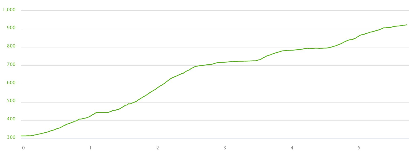
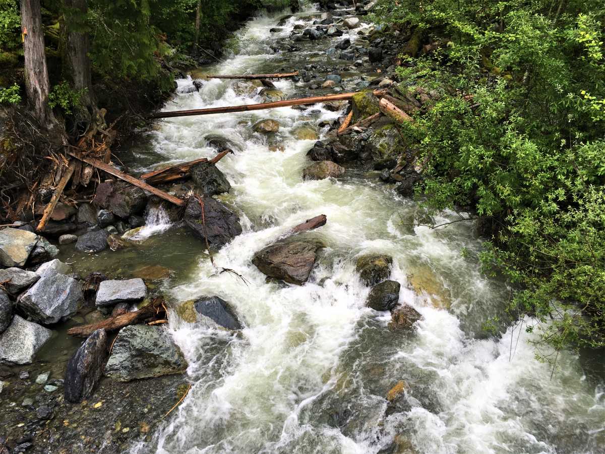
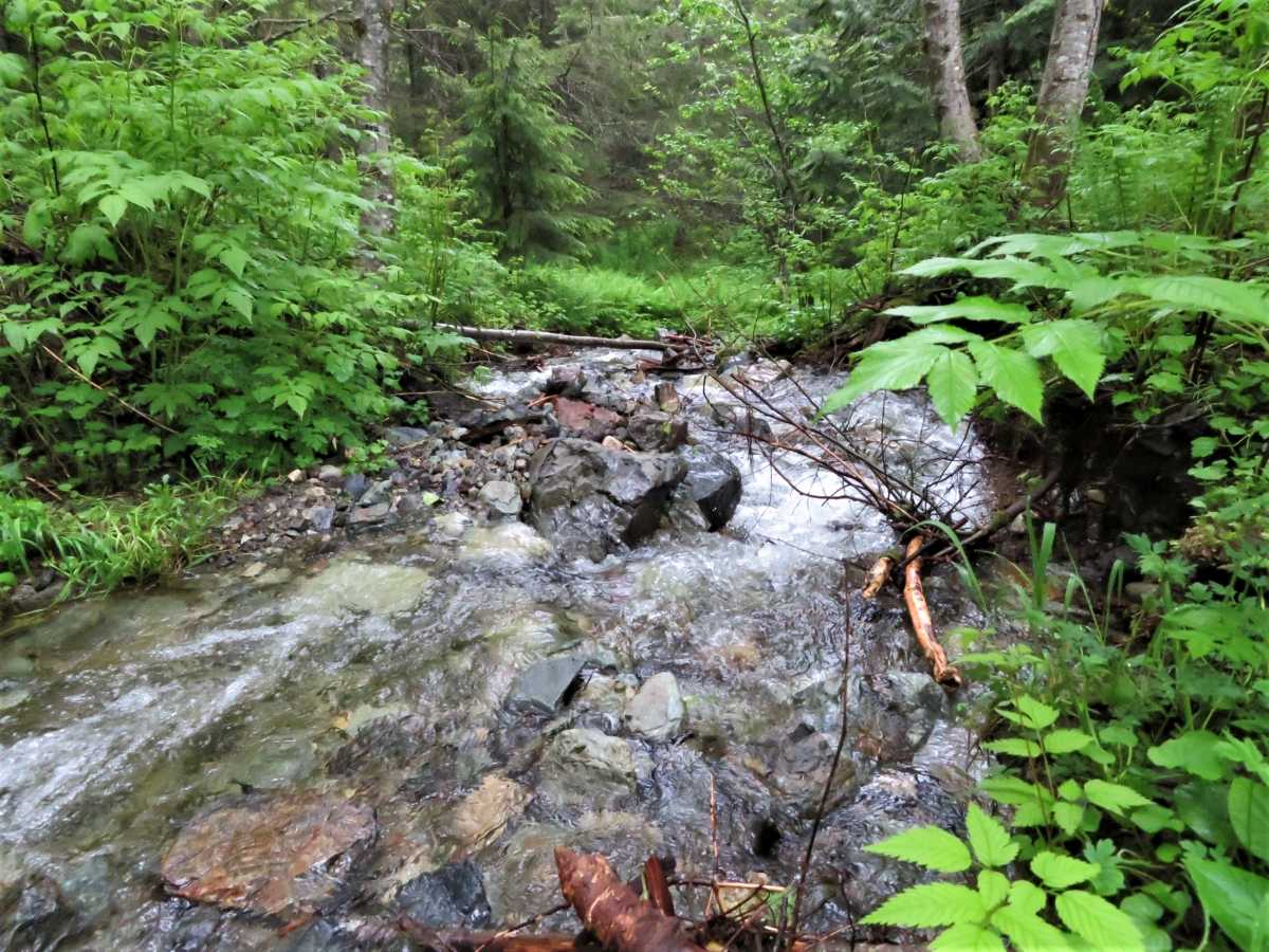
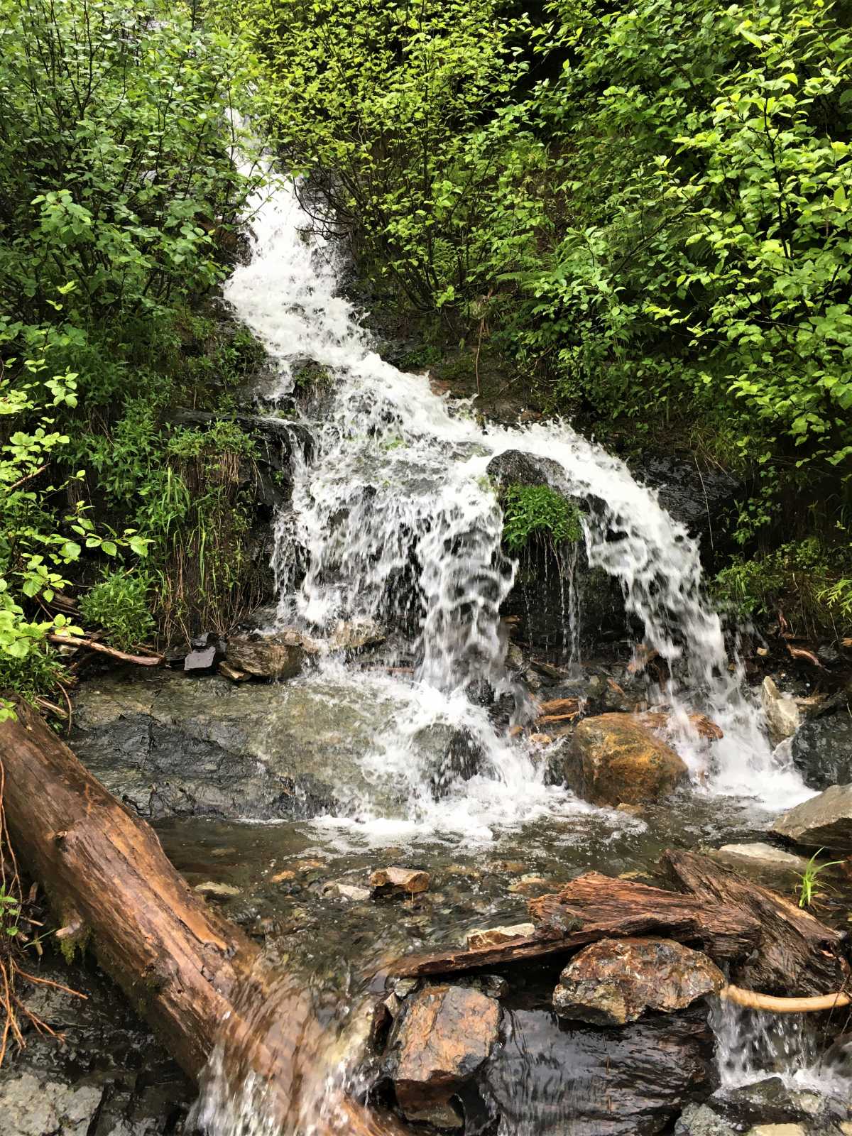
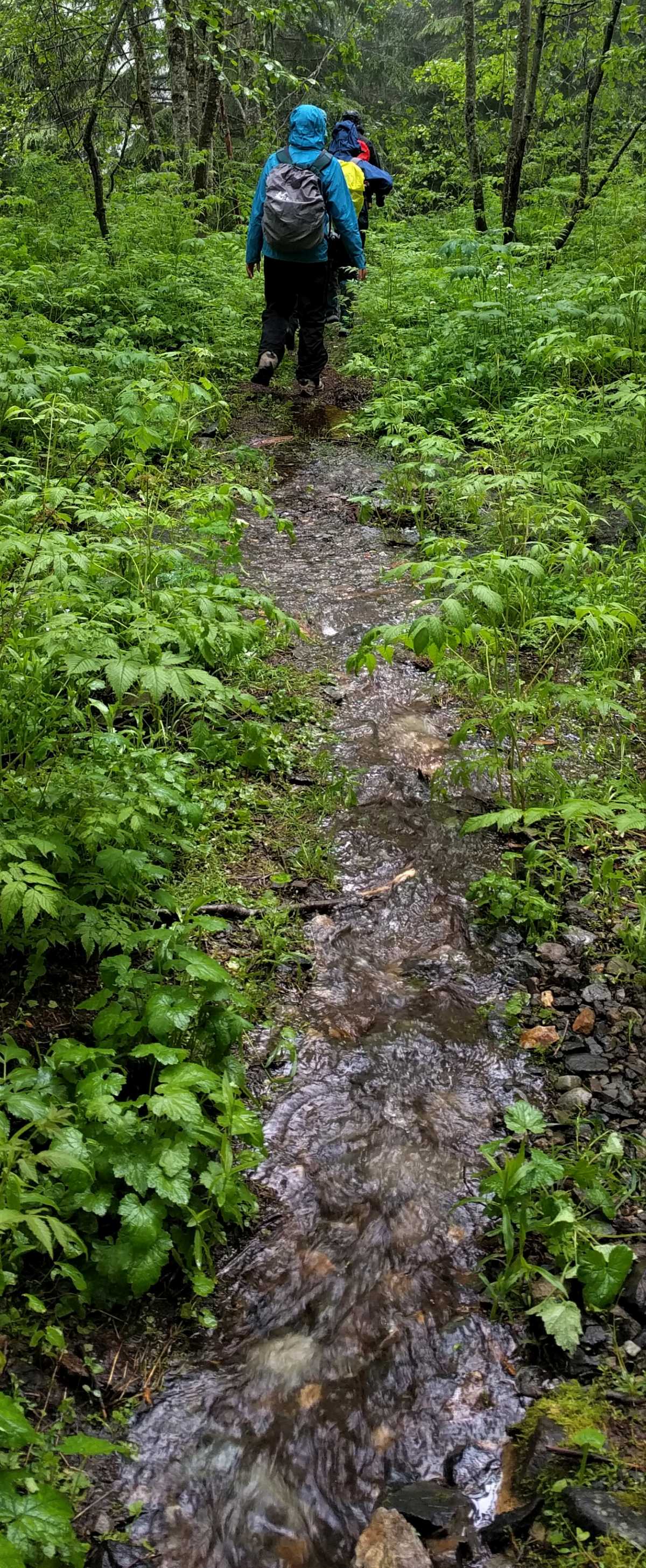
It is best to travel the trail from July to September when the snowpack is non-existent, and streams are running low.
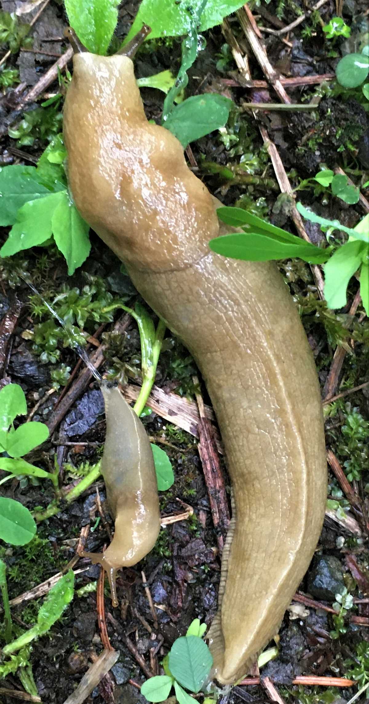
Banana slugs are decomposers and play an important role in the ecosystem.
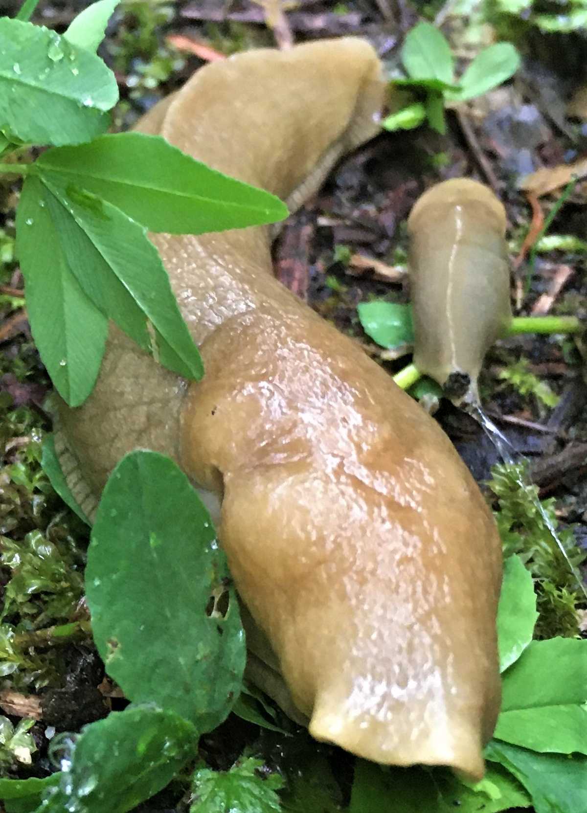
They eat detritus (dead organic matter), including fallen leaves and plants, animal feces, moss, and mushroom spores, and then recycle their food into nutrient-dense waste, which fertilizes healthy soil.
The Province of British Columbia legally protects the HBC (1849) Heritage Trail.
A 200-metre-wide buffer zone centered on the trail (100 metres on either side) protects most of the route, however some sections east of the Whatcom Trail junction still await protection.
You can travel the HBC over several days, or in a series of day hikes and overnighters.
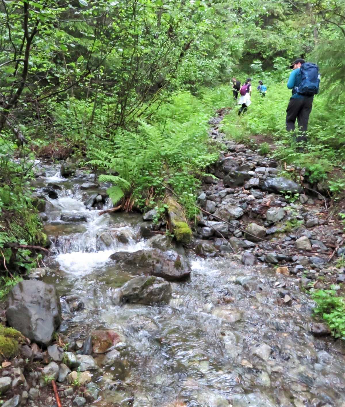
Several major Forest Service Roads (FSRs) intersect the trail, creating access points along the route.
The average life expectancy of an HBC employee was 45 years.
Most famously, an HBC Chief Trader named Paul Fraser died at Campement du Chevreuil (Deer Camp) when a tree fell on his tent.
His own men cut the tree. Probably he wasn’t a pleasant boss.
The Brigade Trail declined in use with better trails built during the 1860s.
By then, the gold fever had eclipsed the fur trade, and routes such as the Dewdney Trail and the Cariboo Wagon Road offered better access to the Interior.
Mason’s original camp disappeared with logging activity during the 1960s and 1970s. Its exact location is unknown.
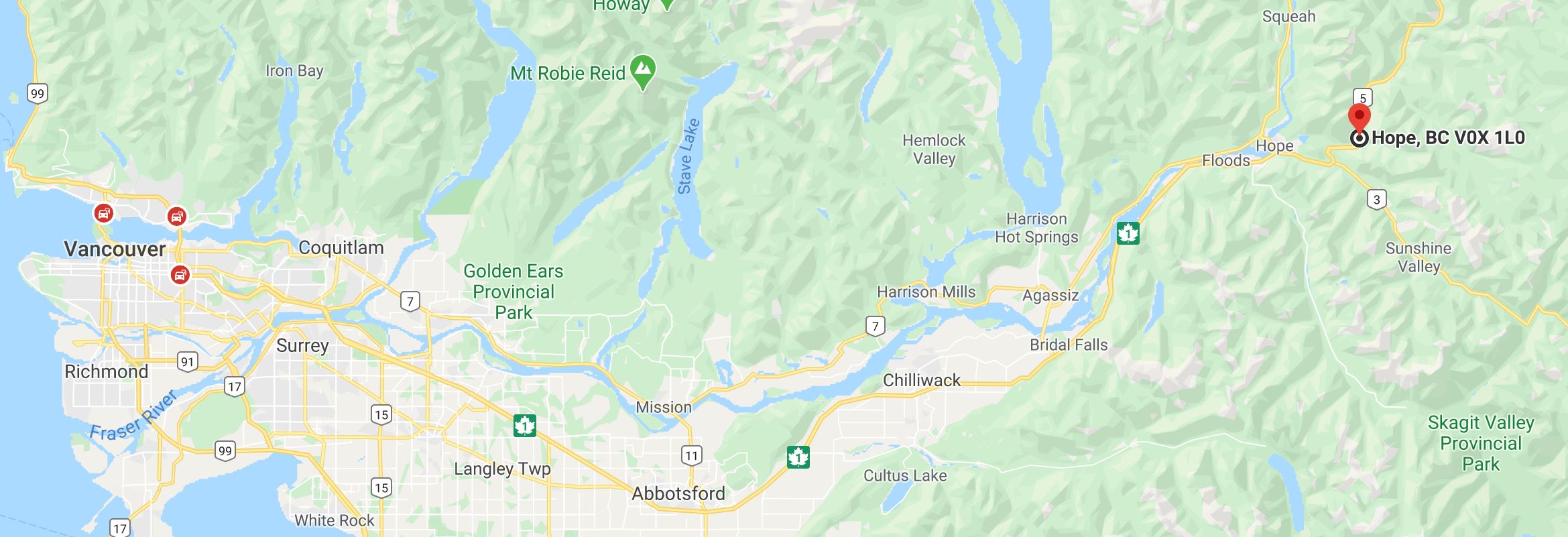
To reach the trailhead, take Exit #183 on Highway 5 and drive across the Coquihalla River and follow the Peers Creek FSR for 1.5 km (gravel) to the parking area.