July 12, 2020
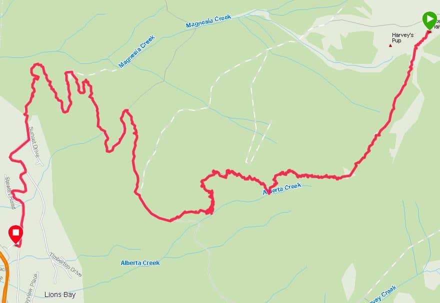
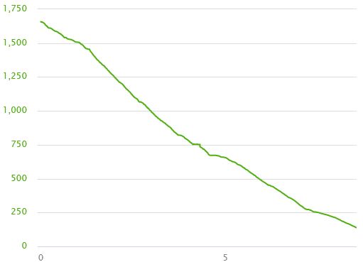
To reach the trail, you need to follow a fire road and count eight switchbacks.
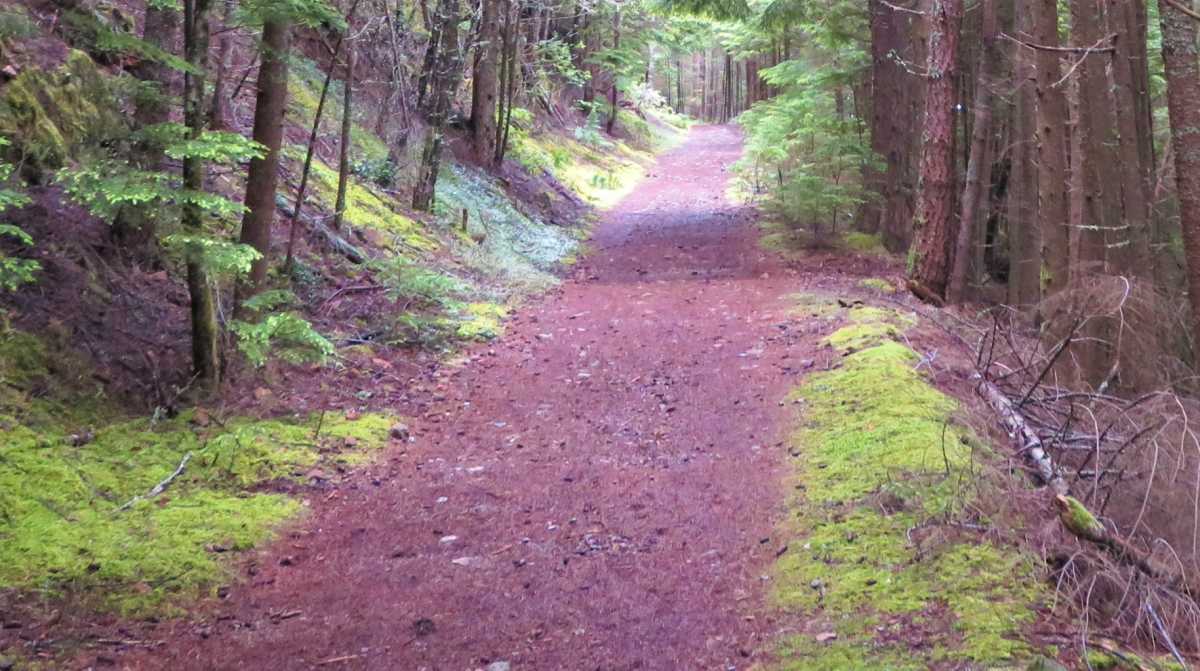
After around 3 kilometers and 700 meters of elevation gain, the trail starts on the left.
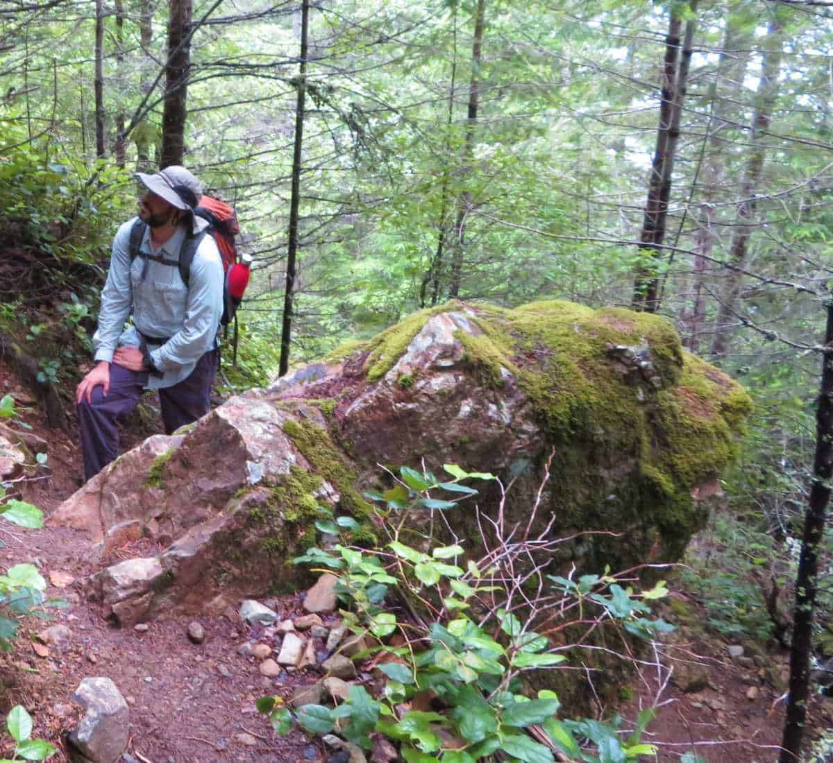
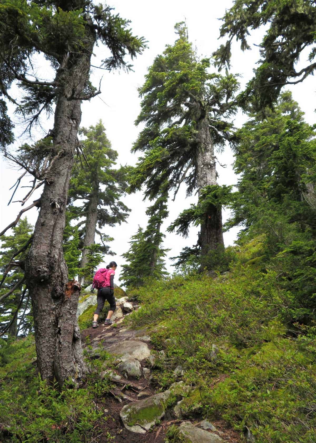
From that point, it is a 2-kilometer grind through multiple switchbacks to gain the ridge at 1,400 meters.
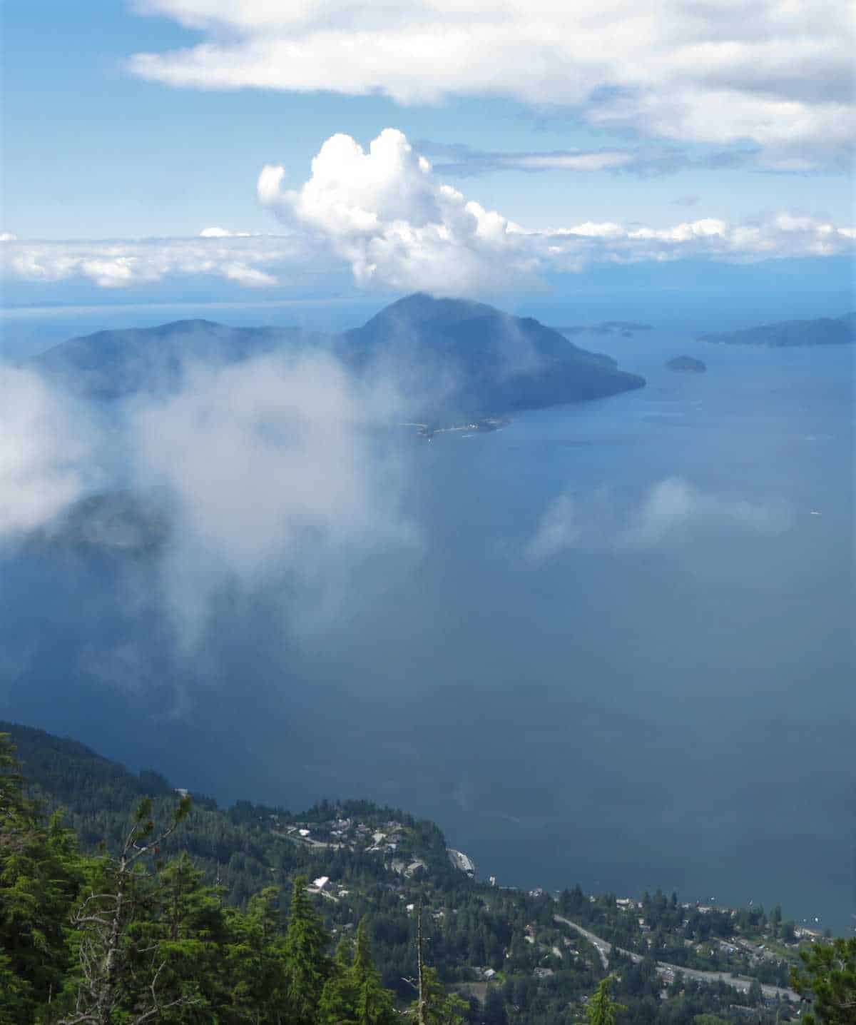
Half-way there is a viewpoint where you can have views of Bowen Island.
Bowen’s original name was “fast drumming ground”.
“Fast drumming ground” comes from the Squamish name for the Island, Xwlíl’xhwm, which is attributed to the sound of the ocean splashing through the Island’s passes.
In the Squamish creation story, Xwlíl’xhwm is the place where deer were created.
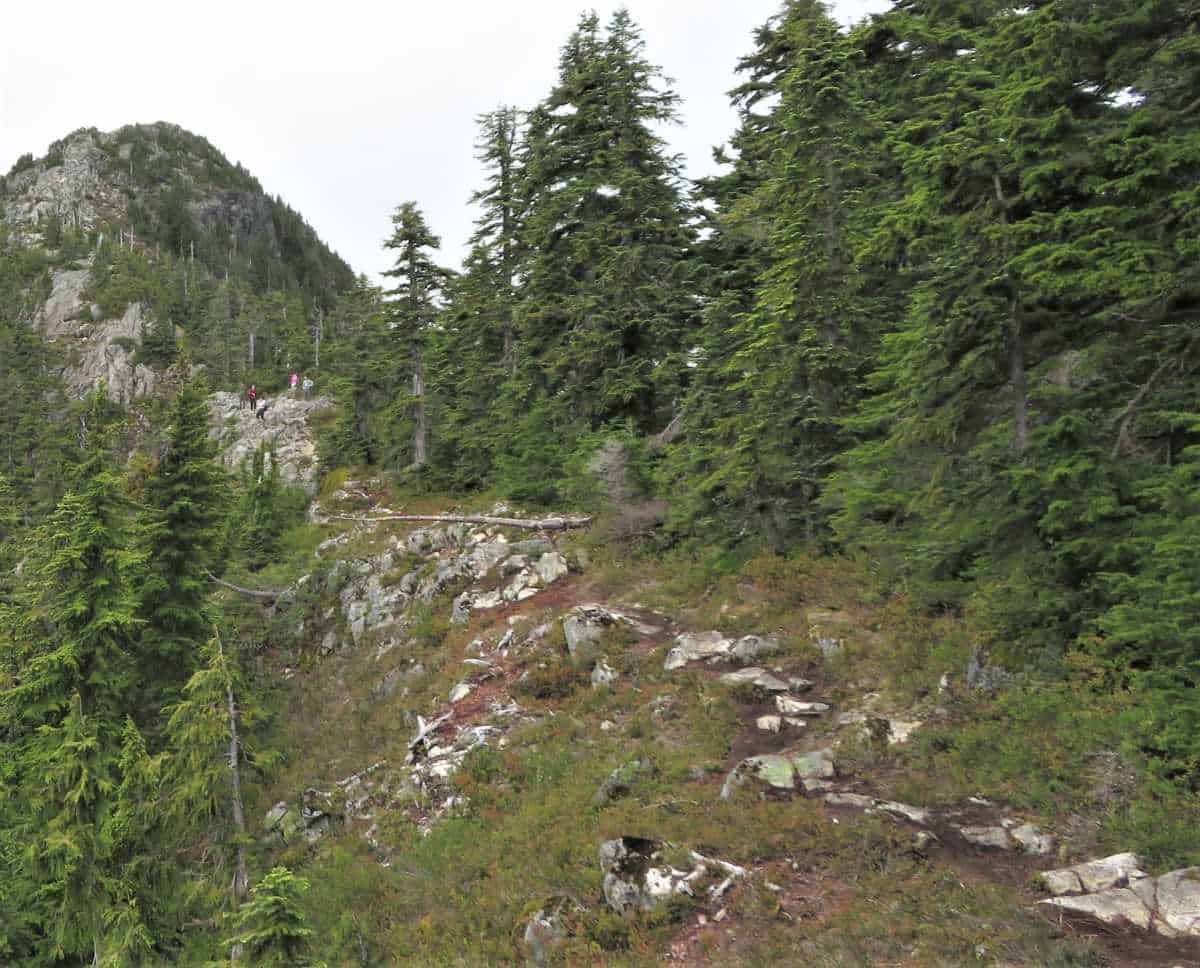
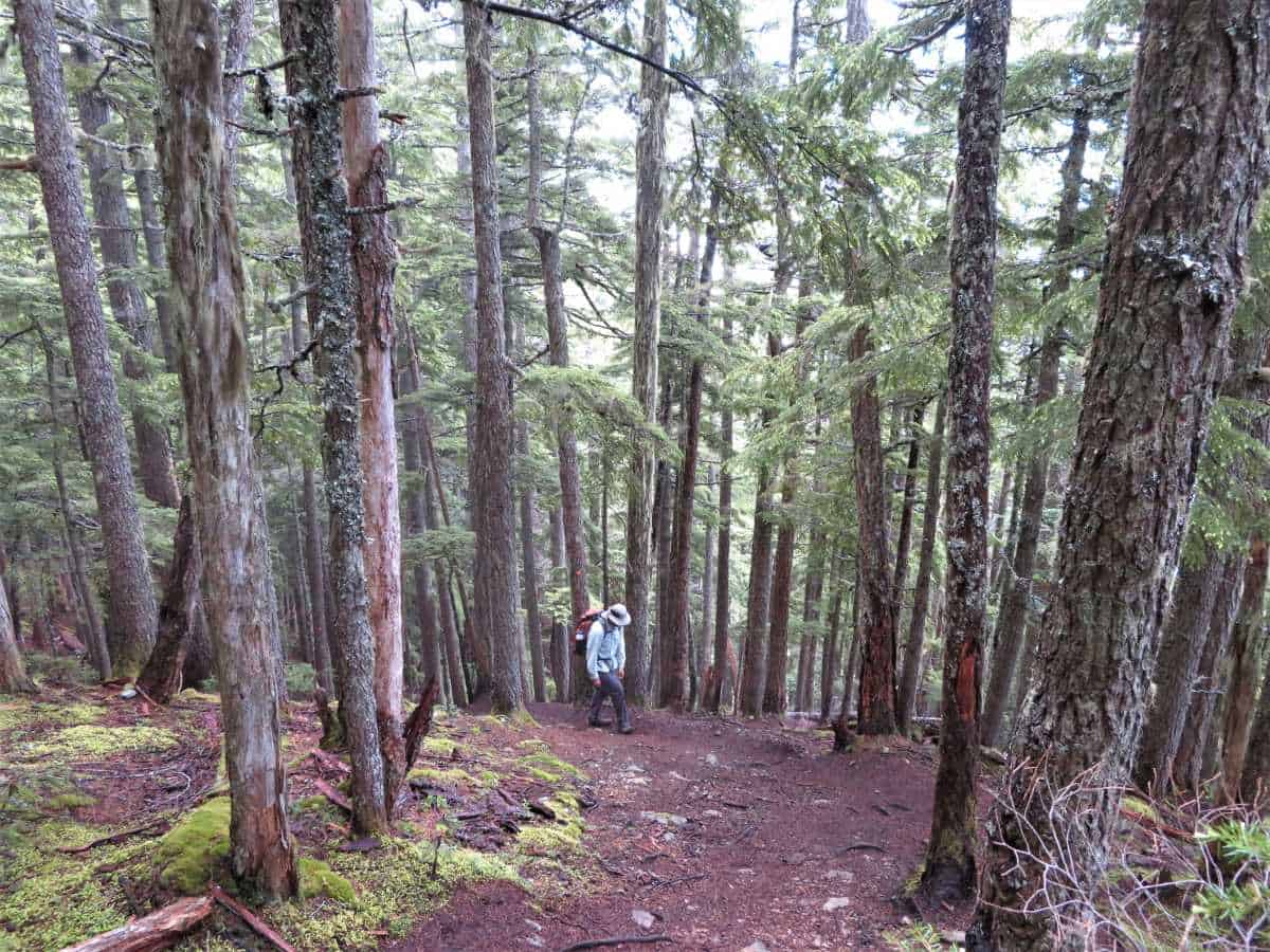
From the ridge, there is a mildly technical ascent of 250 meters over 1.5 kilometers before you reach Mount Harvey.
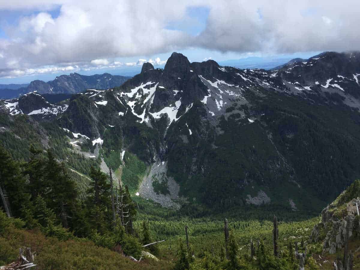
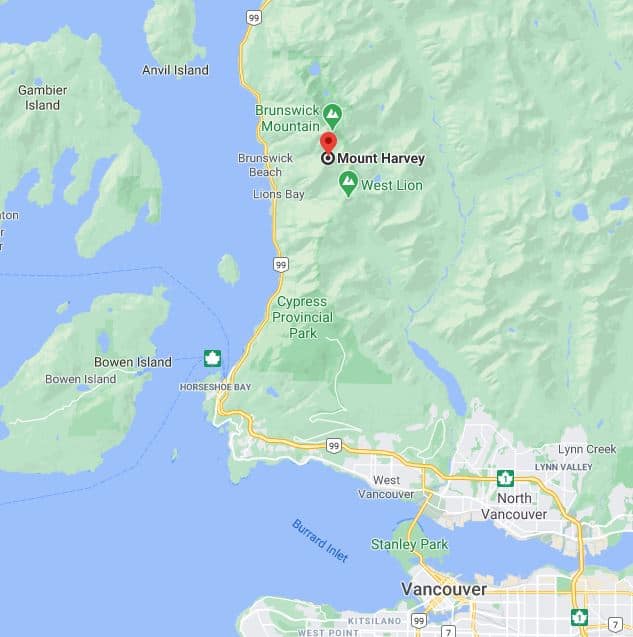
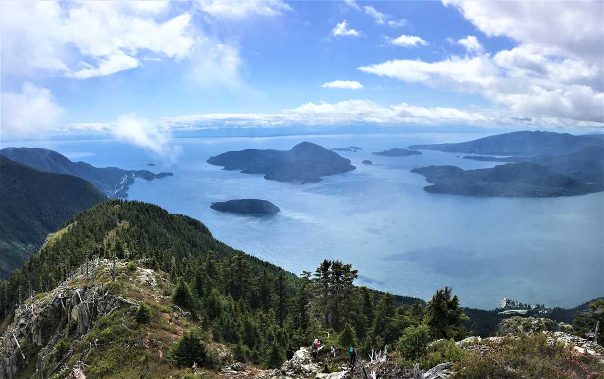
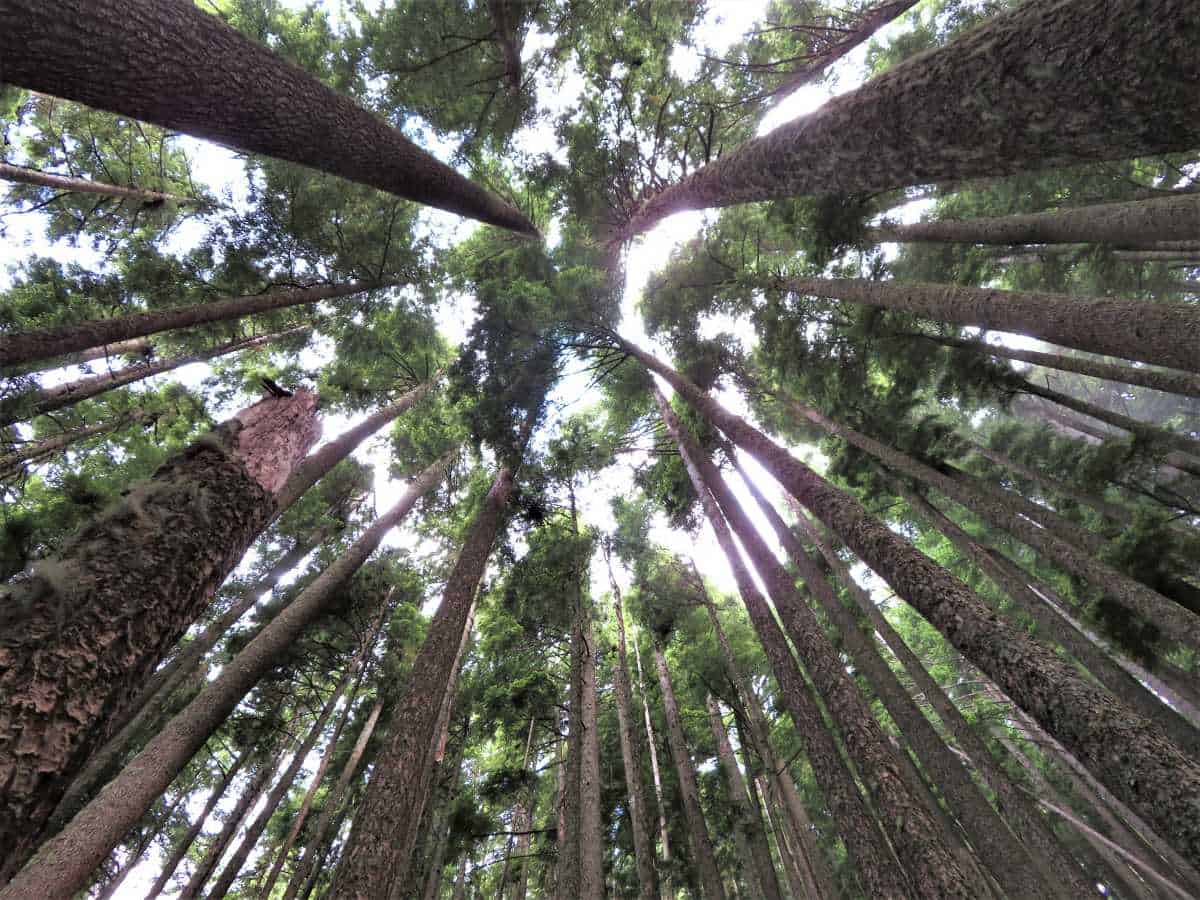
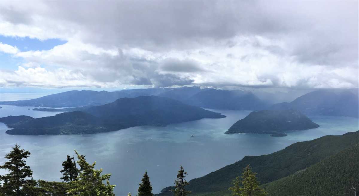
Once on the summit, the beautiful mountain scenery of the North Shore will reveal itself.
The half-circle on the picture below is the Fraser River Plume.
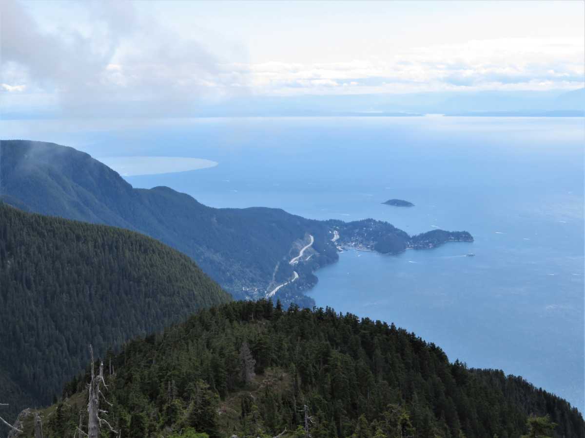
In the early summer when the Fraser River carries high sediment loads, the plume is easy to distinguish from ocean water by its distinct light brown color.
The edge of the plume is created by a sharp change in the currents, making the ocean color and salinity to change rapidly.