September 27, 2020
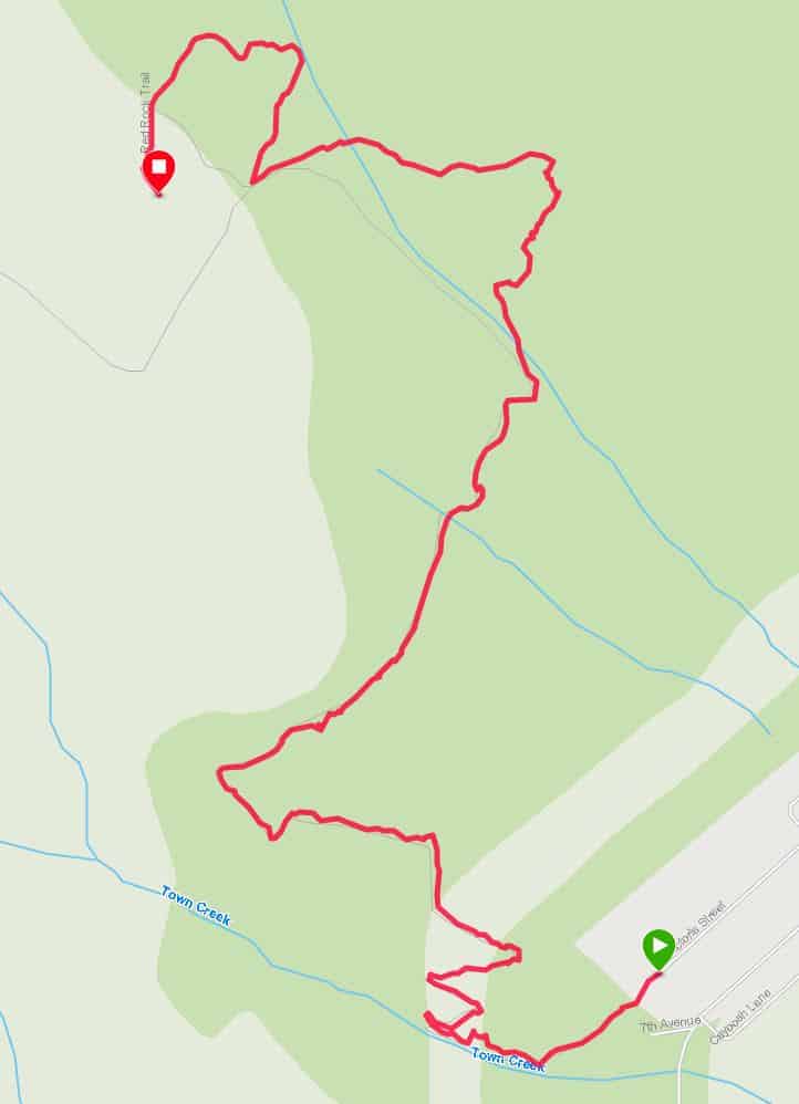
The Red Rock trail begins just past a cul-de-sac, next to a Calvin and Hobbes mural.
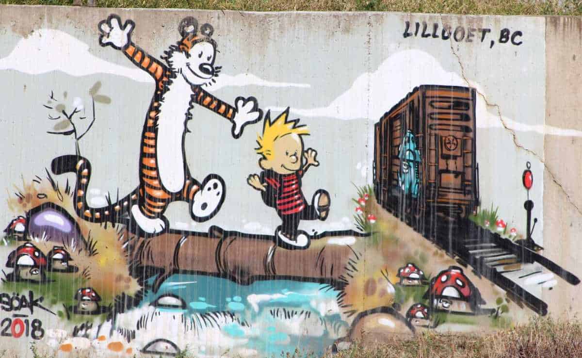
You cannot have more inspiration to start this journey than by looking at that mural. Like Calvin, you’re never bored as long as you’re daydreaming.
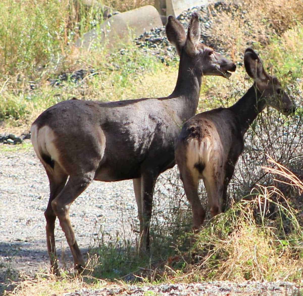
The Province of British Columbia is home to three types of deer: mule deer, black-tailed deer, and white-tailed deer.
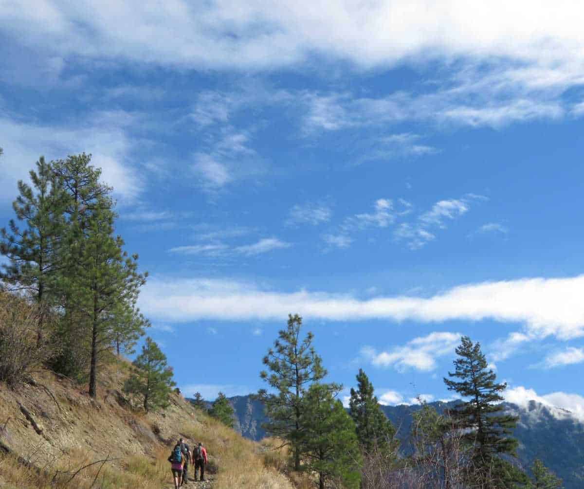
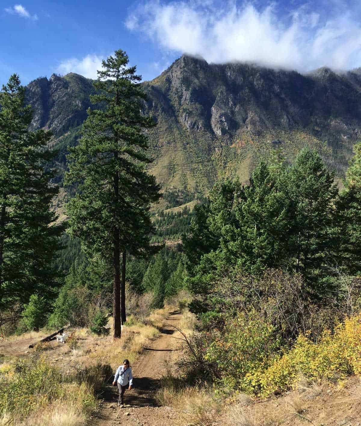
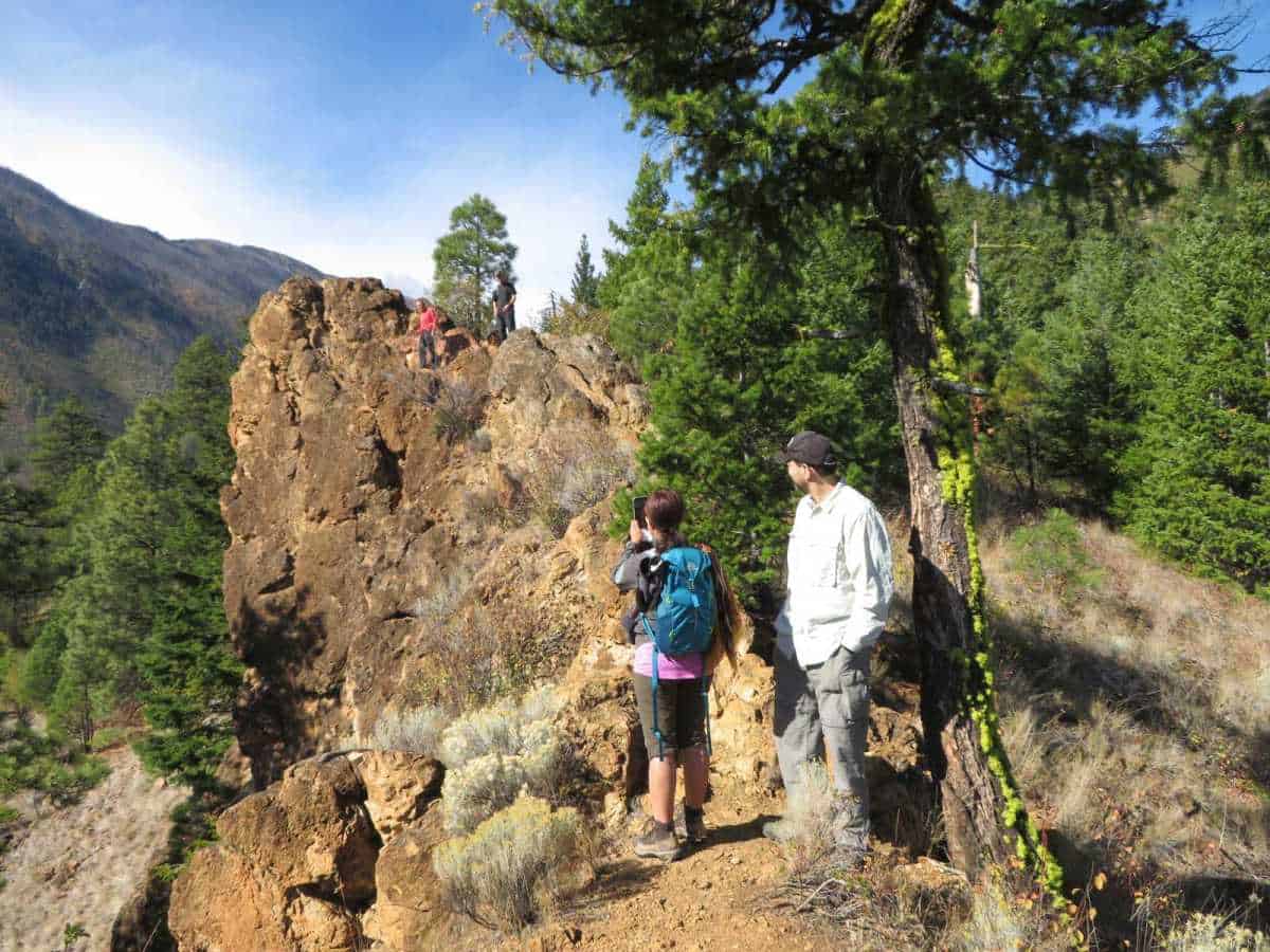
Back to the hike, the trail starts on a gravel road going up towards a water tower. An ATV track takes off to the right and up the hill as you near the water tower.
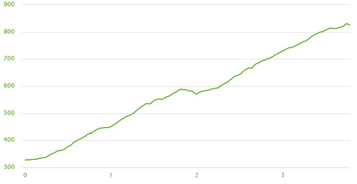
The best hiking time is in the morning. Do not try to hike this trail on a hot July afternoon.
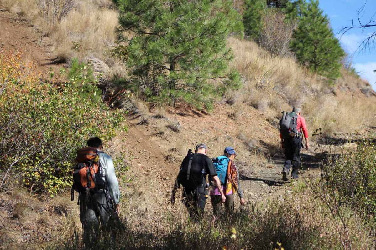
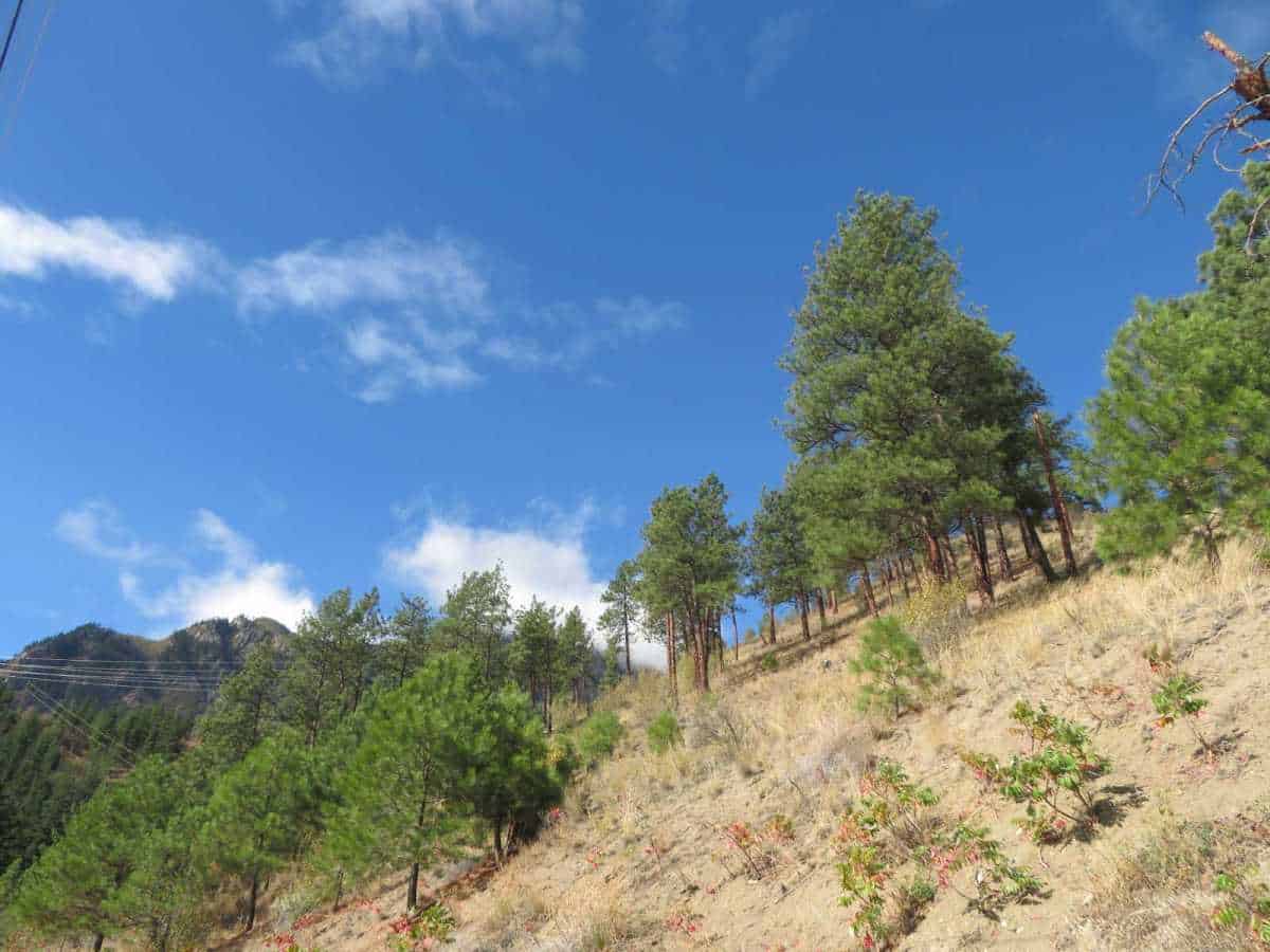
The hike takes you from dry hillsides dotted with Ponderosa pine and up into stands of Douglas fir.
I avoid doing this hike in the rain. The mud sticks to the shoes and feels like each weighs fifty pounds.
In the early decades of the 20th century, Lillooet celebrated Canada’s July 1st birthday with a community event called “The July.”
One of the highlights of ‘The July’ was a grueling foot race up to Red Rock. Fleet-footed competitors would run up the mountainside, complete a circuit around Red Rock and then descend pell-mell to Lillooet.
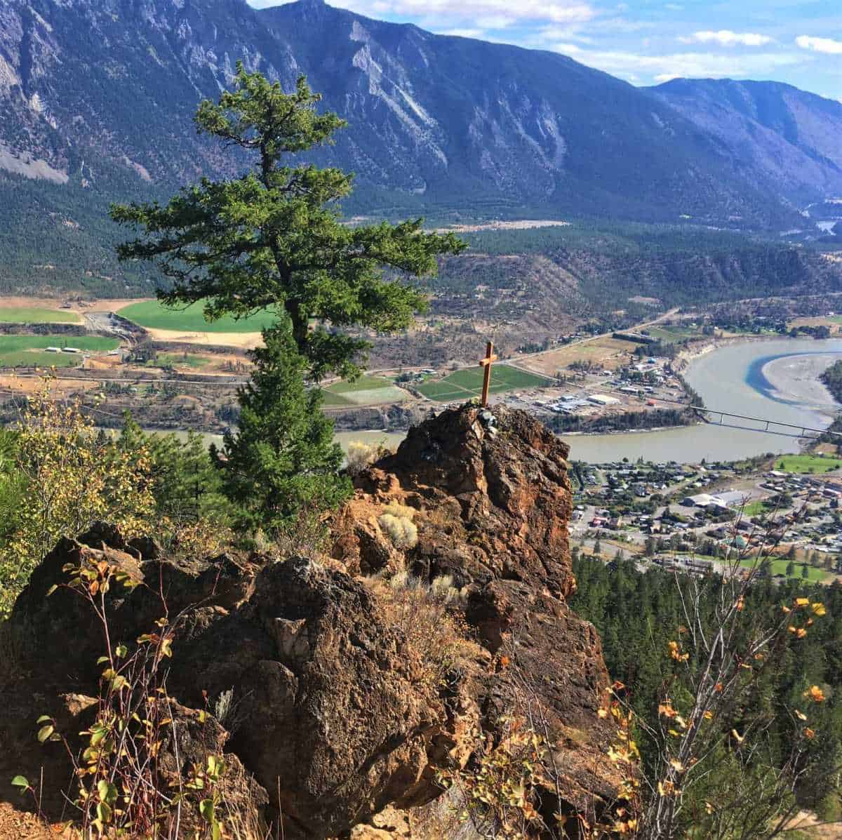
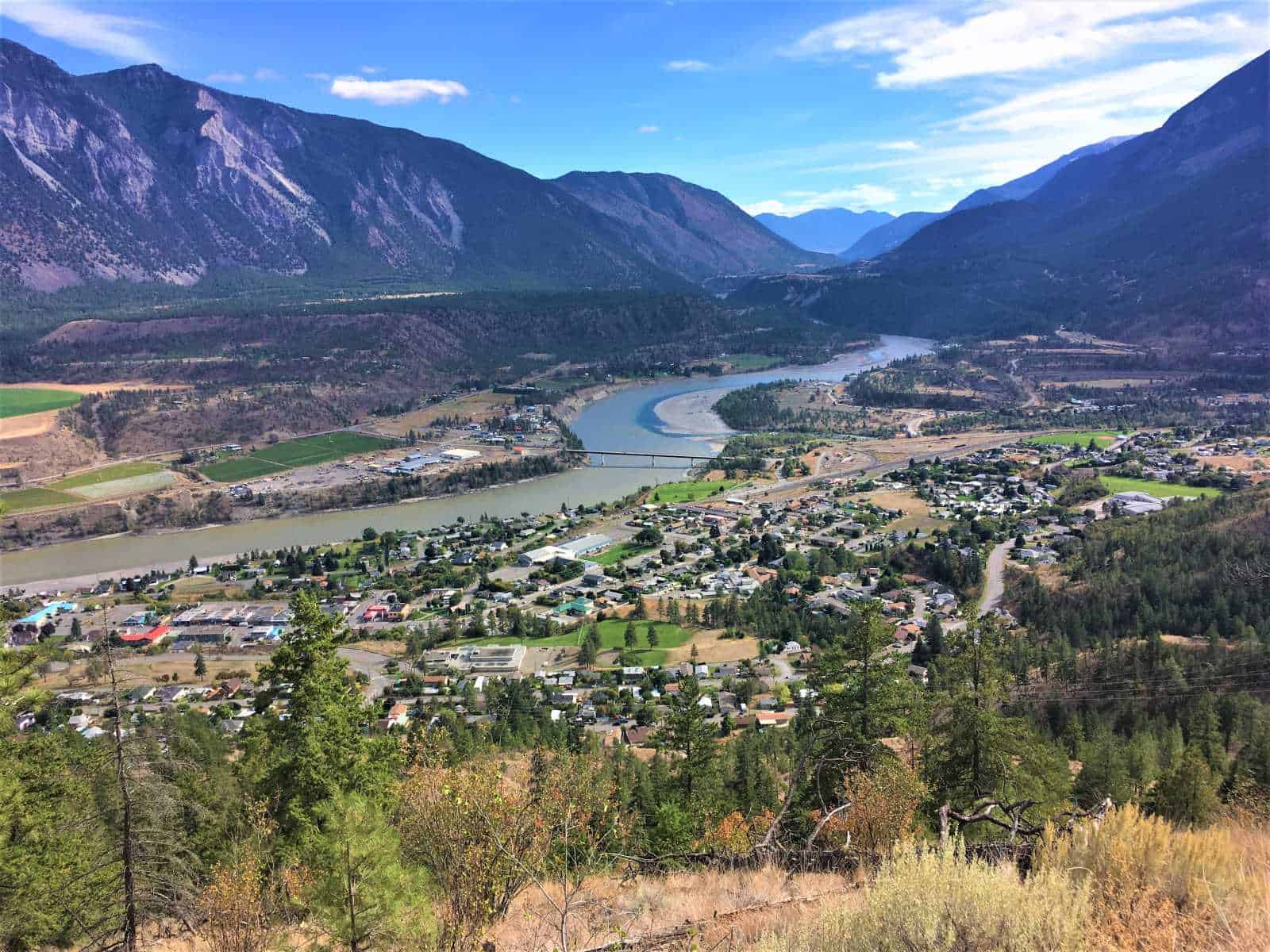
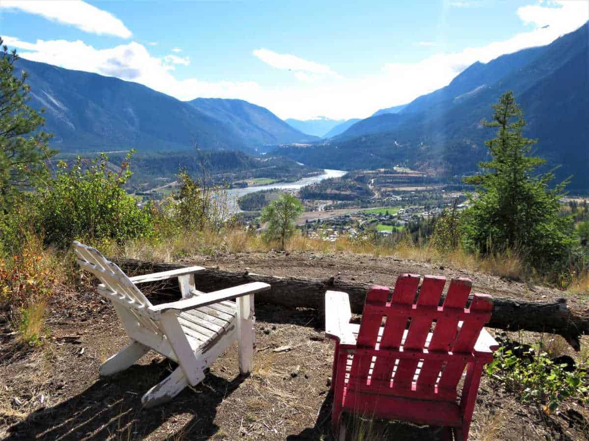
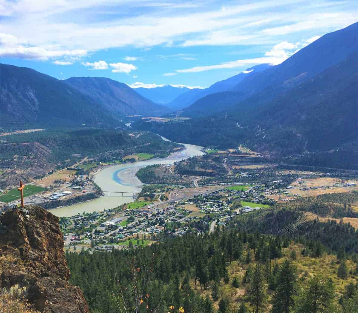
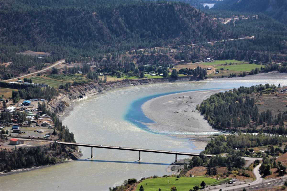
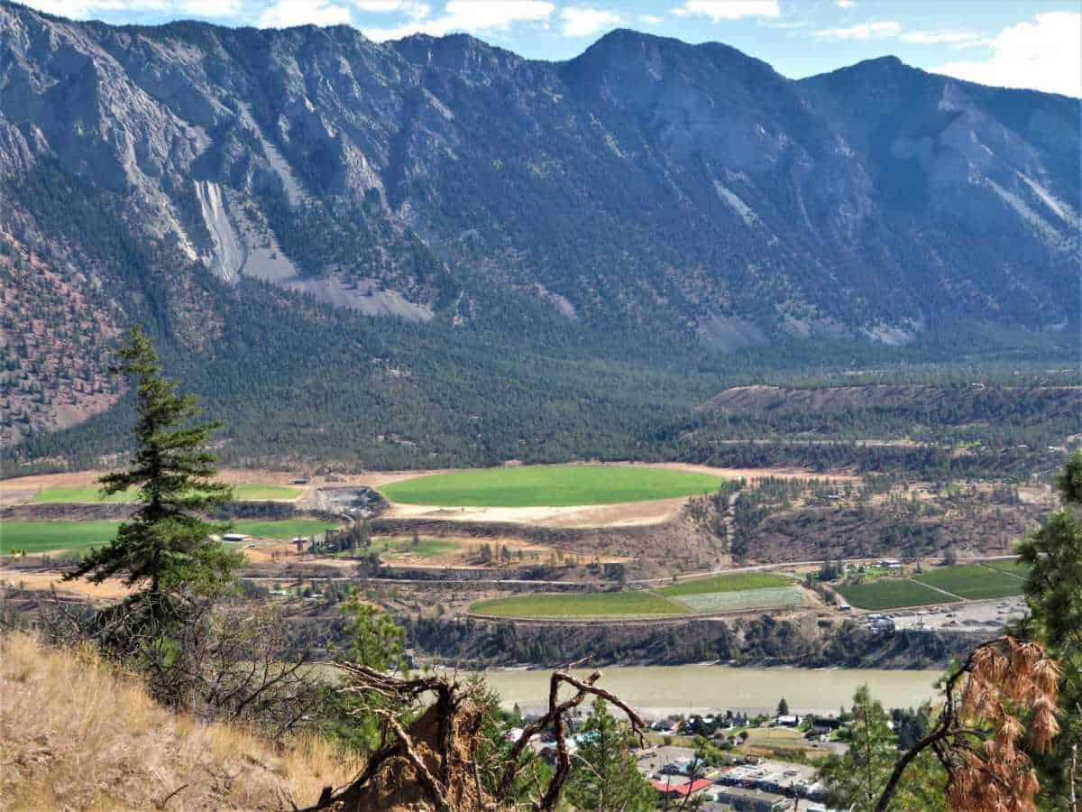
Red Rock offers panoramic vistas of Lillooet; the striking confluence of the blue waters of Cayoosh Creek with the muddy brown Fraser River; and the ever-changing play of sun and shadow on the surrounding mountain peaks.
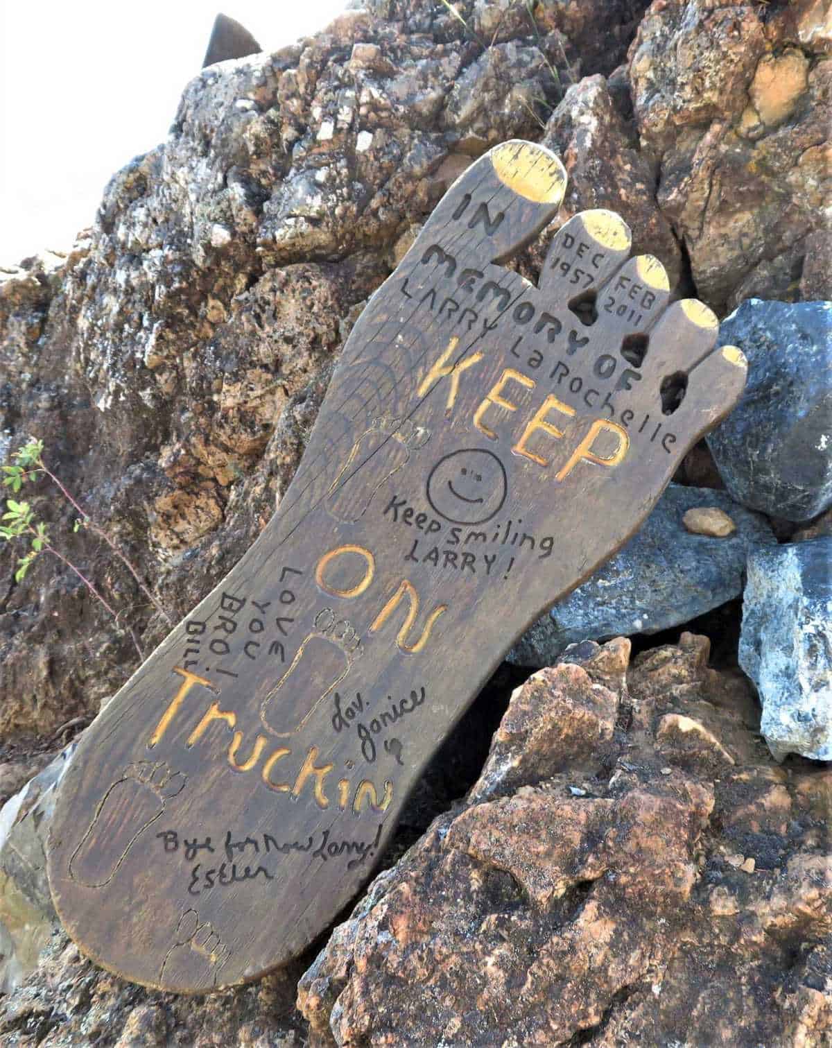
Nearby is a cross in remembrance of a loved one.
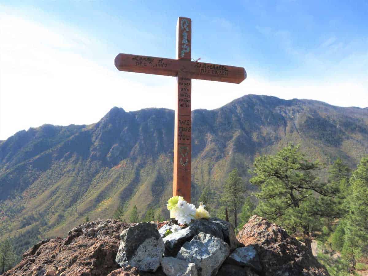
Memorials are as old as humanity, and I find it fascinating how these physical reminders try to enhance the recollection and integration of memories related to the honored subject and its narrative.
Red Rock is Mariposite, it gets its distinctive red color from the oxidized iron on the outside of the rock.
The Shulaps mountain range north-west of Lillooet has Mariposite.
Mariposite is an ore of gold and a source of placer gold.
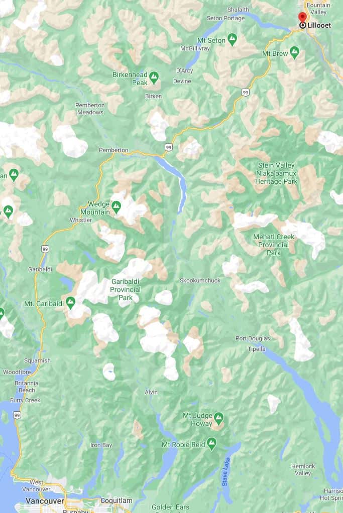
During the Goldrush era, Lillooet became Mile Zero of the Cariboo Road and blossomed into the largest settlement north of San Francisco with a population of 16,000 at its peak.
Lillooet is one of the longest drives I do for a day hike.
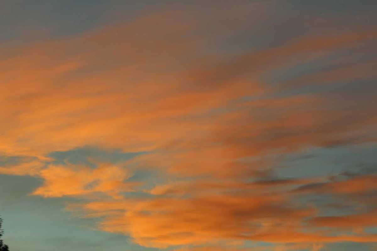
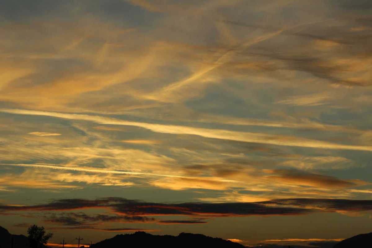
One reward I find for these long outings is the thrill of chasing sunsets.