

October 17, 2021
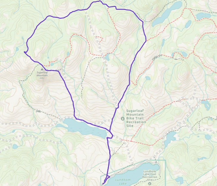
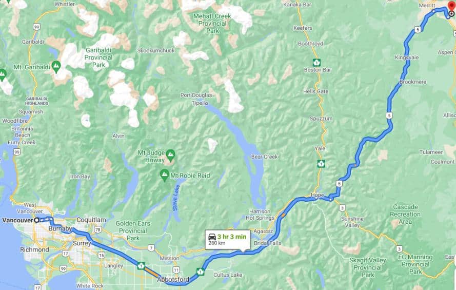
From Merritt, drive east (towards Kelowna) on Highway 97C/5A. Turn left on Lundbom Lake Road. Continue along this dirt road until you reach Lundbom Lake.

You can start on the side trail next to the road.

Lundbom Lake is a popular destination for fishing, hiking, canoeing, and camping when exploring the countryside near Sugarloaf Mountain.

Nearby is the Laurie Guichon Memorial Grasslands Interpretive Site where you can better understand and appreciate the surroundings.

Native grasslands cover less than 1% of BC’s land base. Even so, they are home to more than 30% of its species at risk.

Grasslands support more threatened and endangered plants and animals than any other habitat type in the province.

To reach Sugarloaf Mountain, my group followed Coco Bonk, a 4 km mountain bike trail that appears to have had more traffic in the past.

The trail crosses the rolling grasslands before reaching past old growth Douglas Fir and Aspen forests.

We then followed Wounded Knee. This trail is muddy in sections and overgrown. It is difficult to tell which way it goes on.

And here I was, looking at a wild mushroom and wondering if it was edible or I was going to end in the hospital with stomach cramps and diarrhea.

Mountain bikers have installed a few signs at intersections, but the older double tracks have been there for a century.

The single tracks are new, cut by bikes and cattle grazing on the Commonage. I didn't see traces of bike tracks on the overgrown trail, so I believe this is now cow territory.

Ranchers settled Merritt who recognized the potential for a productive cattle industry.

The area contains the Douglas Lake Cattle Ranch, one of the largest working cattle ranches in North America.

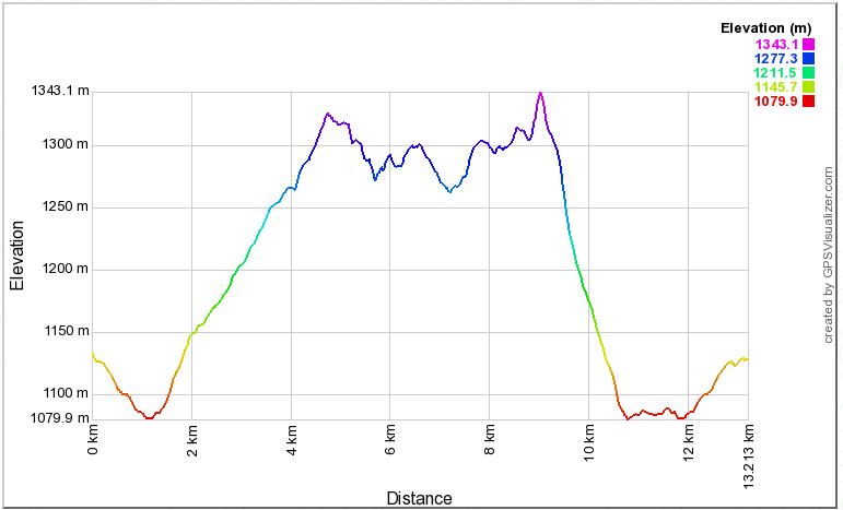
Sugarloaf Mountain is the highest hill in the area. There is not a defined trail, but it is easy to reach the top.

Until around ten years ago, ATVs and dirt bikes drove to Hamilton Lake and caused damage to the fragile grasslands.

Deglaciation created the present-day physiography, characterized by rolling uplands, steep-walled, flat-floored valleys, open grassland, and pine-forested slopes.

The previous deglaciation took place from approximately 22,000 until 11,5000 years ago.

During that period, the annual mean atmospheric temperature on the earth increased by roughly 5 °C.

An obvious trail leads the way back to Hamilton Lake.

Two local riders mapped EPIC 150 trail, a monolith of a route linking all four local mountain bike riding areas: Sugarloaf Mountain/Lundbom Lake, Swakum Mountain, the Coutlee Plateau, and Iron Mountain (behind the Tourist Information Centre).

On June 16th, 2018, the first two riders to ever tackle EPIC set out on their way. It took 11:47 hours for Lennard Pretorius and James Oborne to do it.

I feel more comfortable standing on two legs. I can spend more time contemplating the scenic Nicola Valley.

The grasslands have been used for centuries by aboriginal peoples, who used fire to maintain food plants and had horses by 1790.

Only in the past 150 years has grazing been extensive and heavy. It is more pronounced in the lower elevation grasslands. Today, thanks to conservation efforts, some of these areas are slowly recovering their native species.


