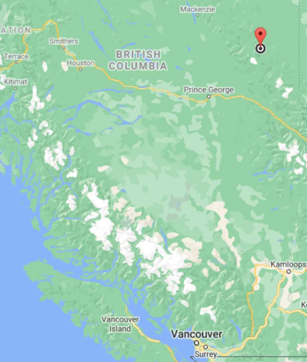
June 26, 2021
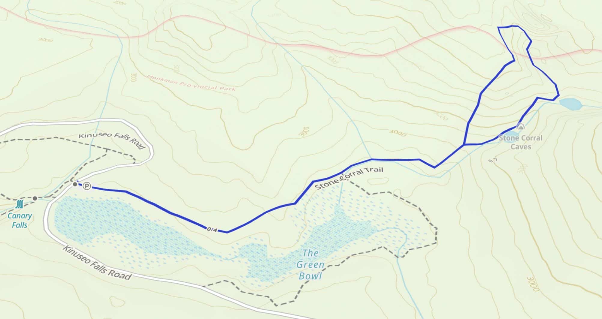
The Stone Corral hike follows an area with small caves, limestone formations, ponds, poisonous plants, fossils, and viewpoints.
The Lake Joan and Canary Falls Trail share the same parking lot. The parking lot is very close to the entrance to Monkman Provincial Park.
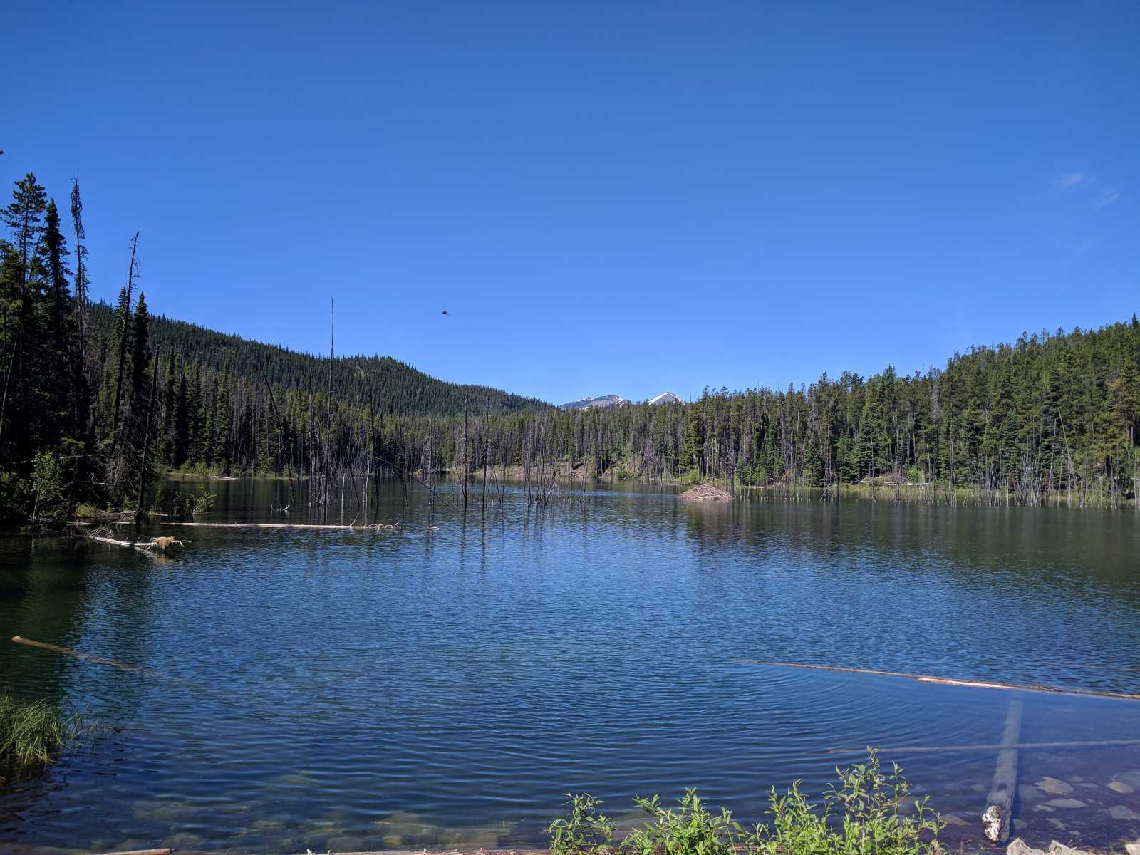
A short side-trail leads down to a series of beaver dams that have formed the lake that fills the Green Bowl upstream.
The Green Bowl offered feed for tired horses. In the late 1930s, Alex Monkman built a road to export grain from north-western Alberta and the railhead near Prince George. After the war, the BC government closed the pass.
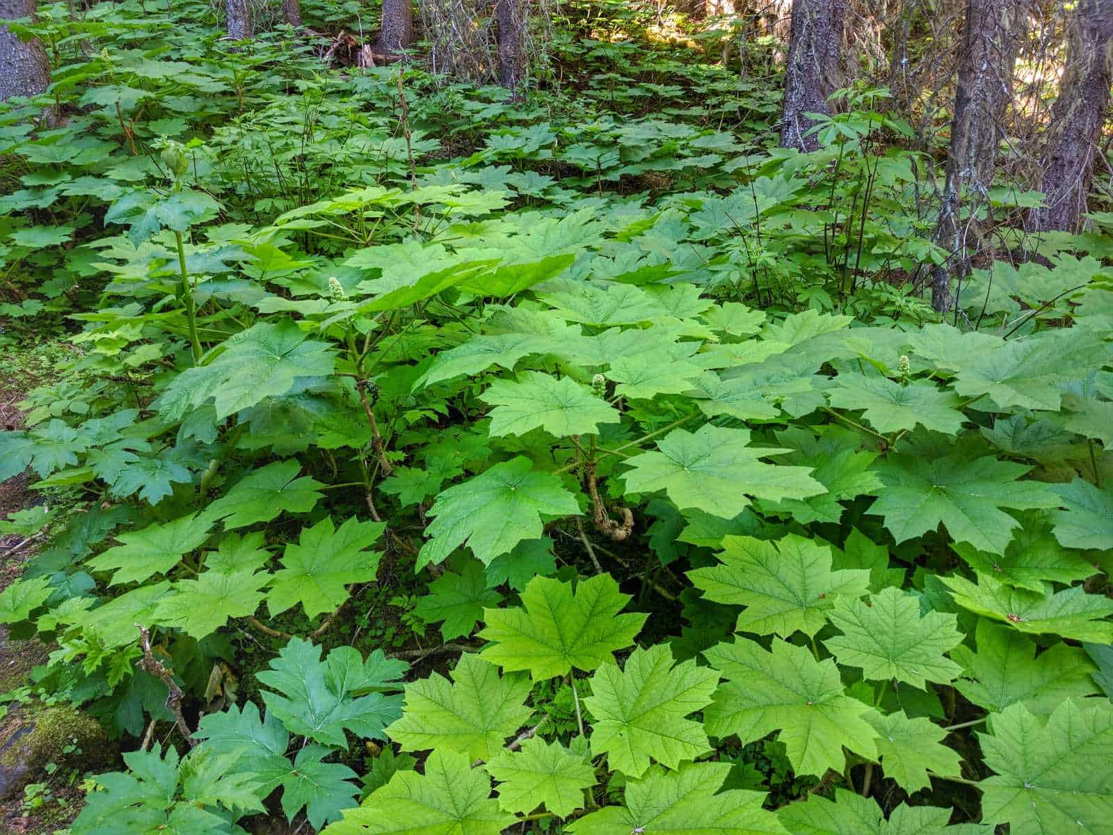
The shrub with the large maple-like leaves is Devil's Club. Both the undersides of the leaves and the thick stems are full of spines that easily penetrate the skin and tend to fester if not removed early.
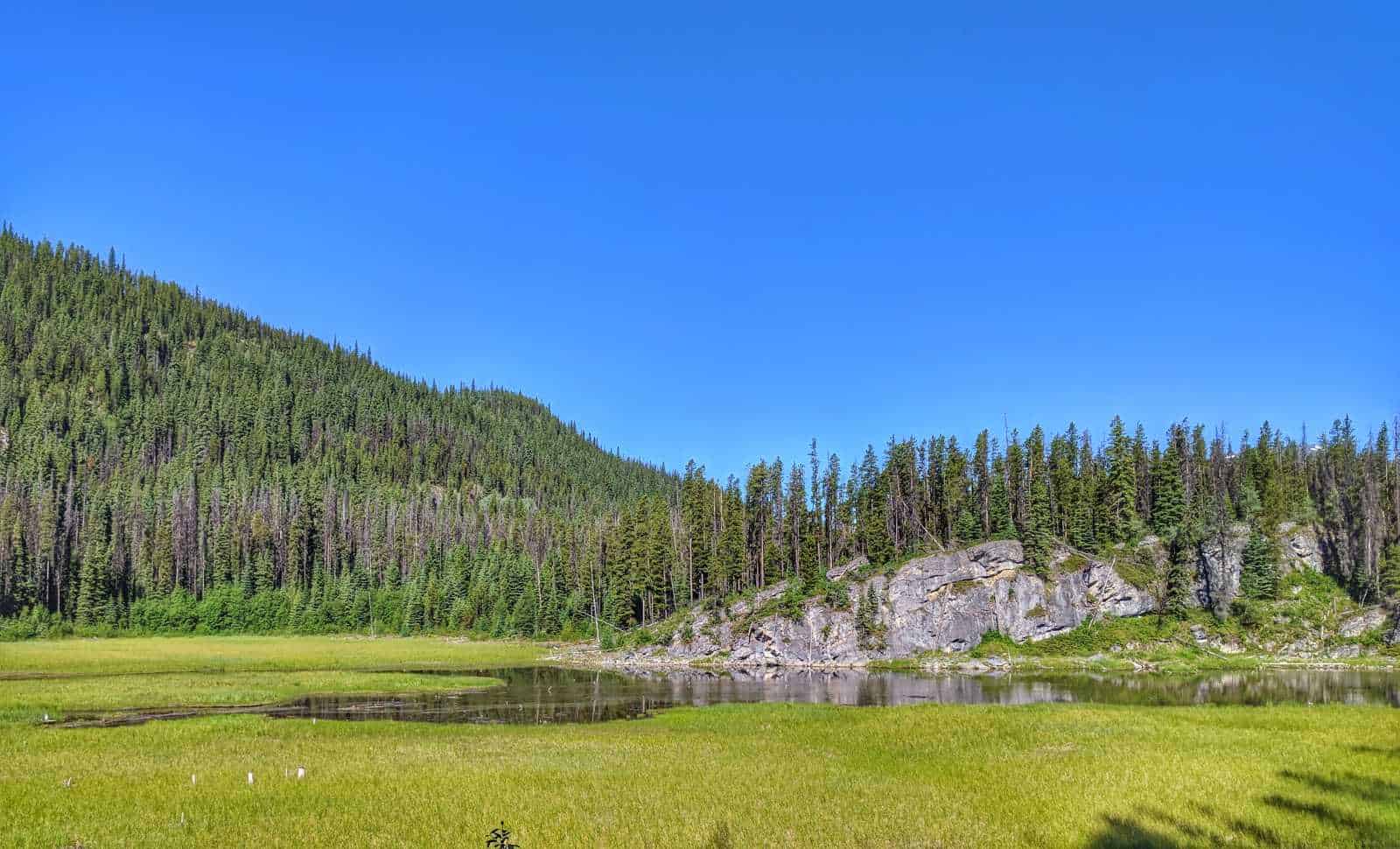
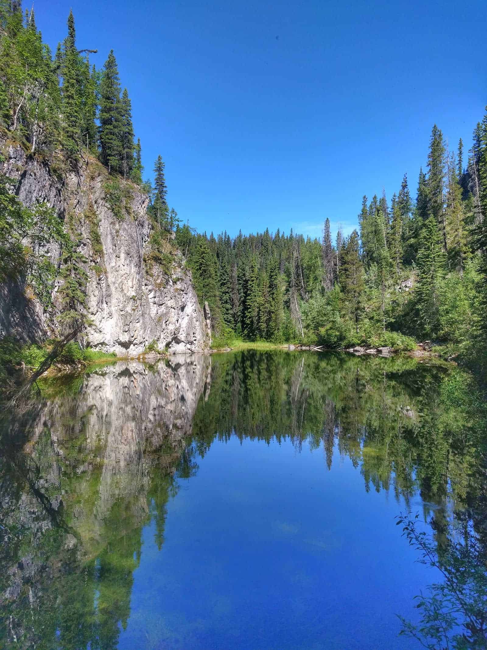
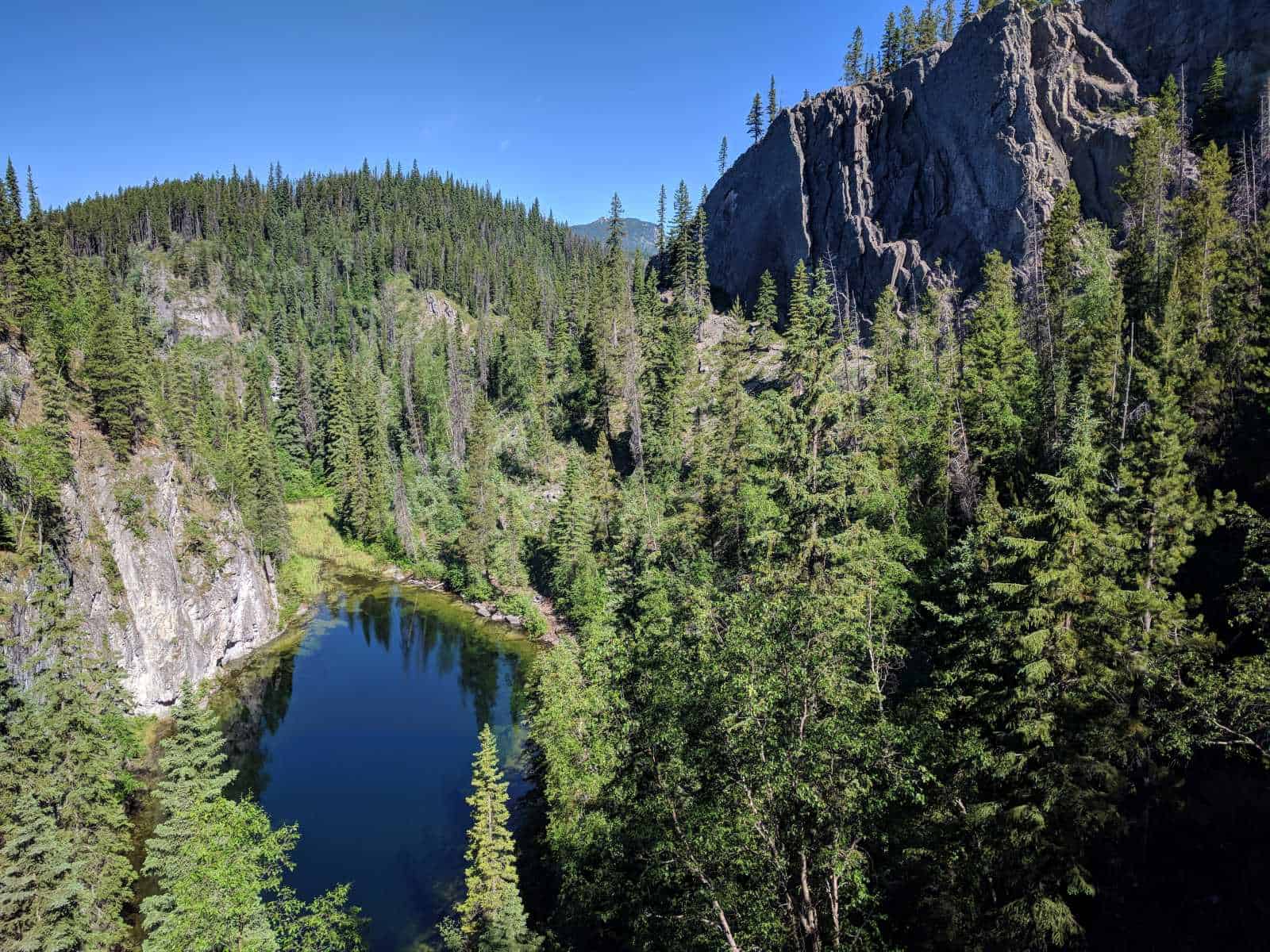
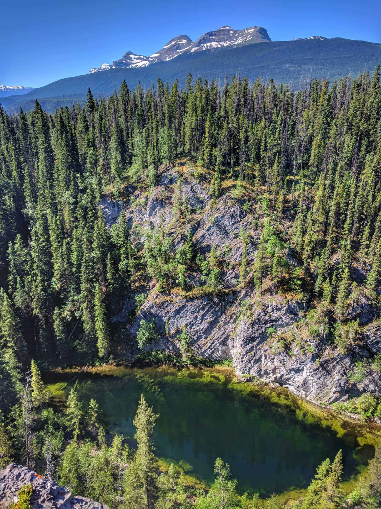
The Stone Corral is a dark pond circled on three sides by vertical cliffs. These rocks are approximately 350 million years old.
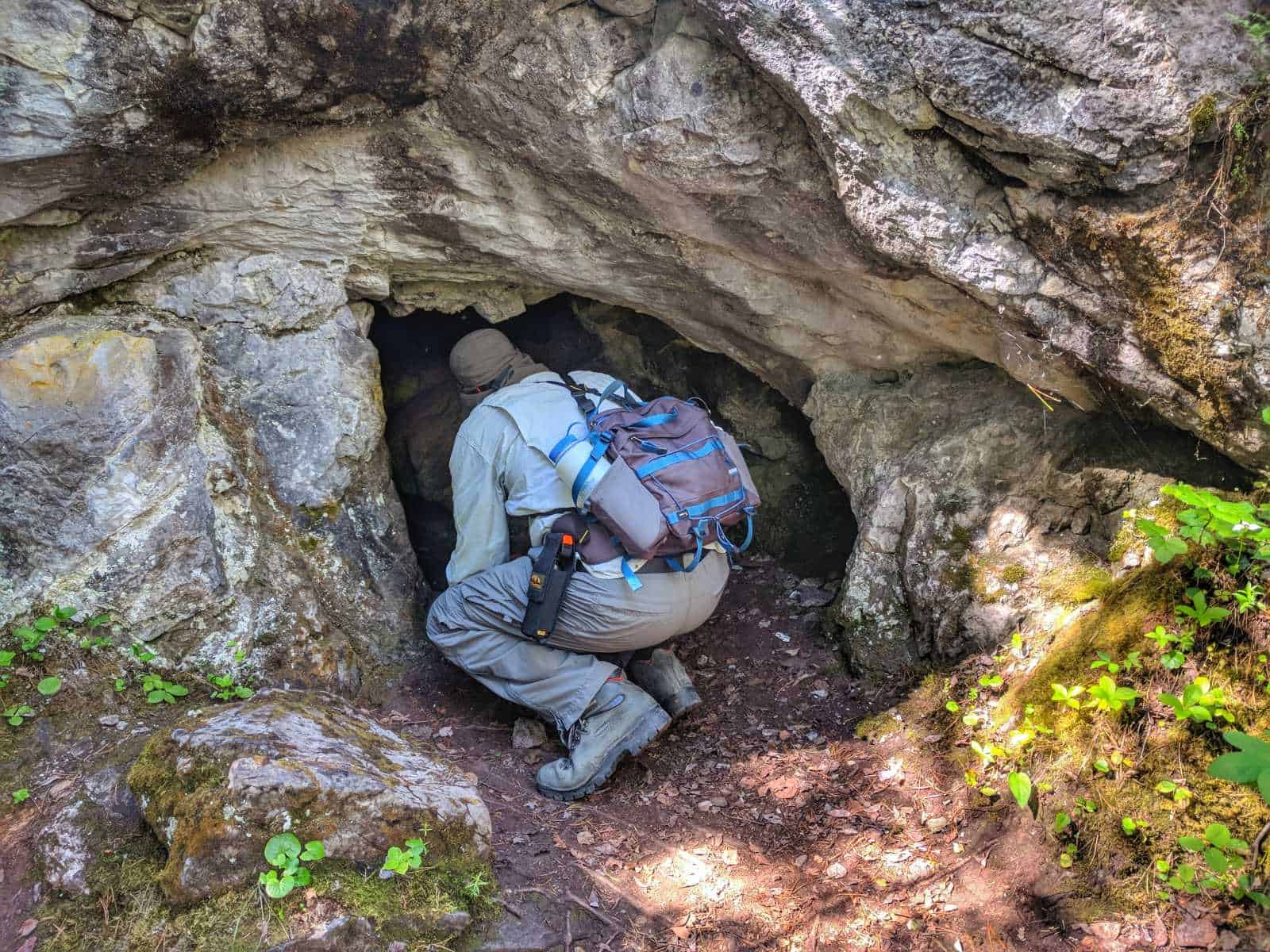
Underneath the steepest cliff lies Corral Cave. The cave is 20 meters deep, the walls are smooth and vertical and the ceiling is high, making it an easy walk-in cave.
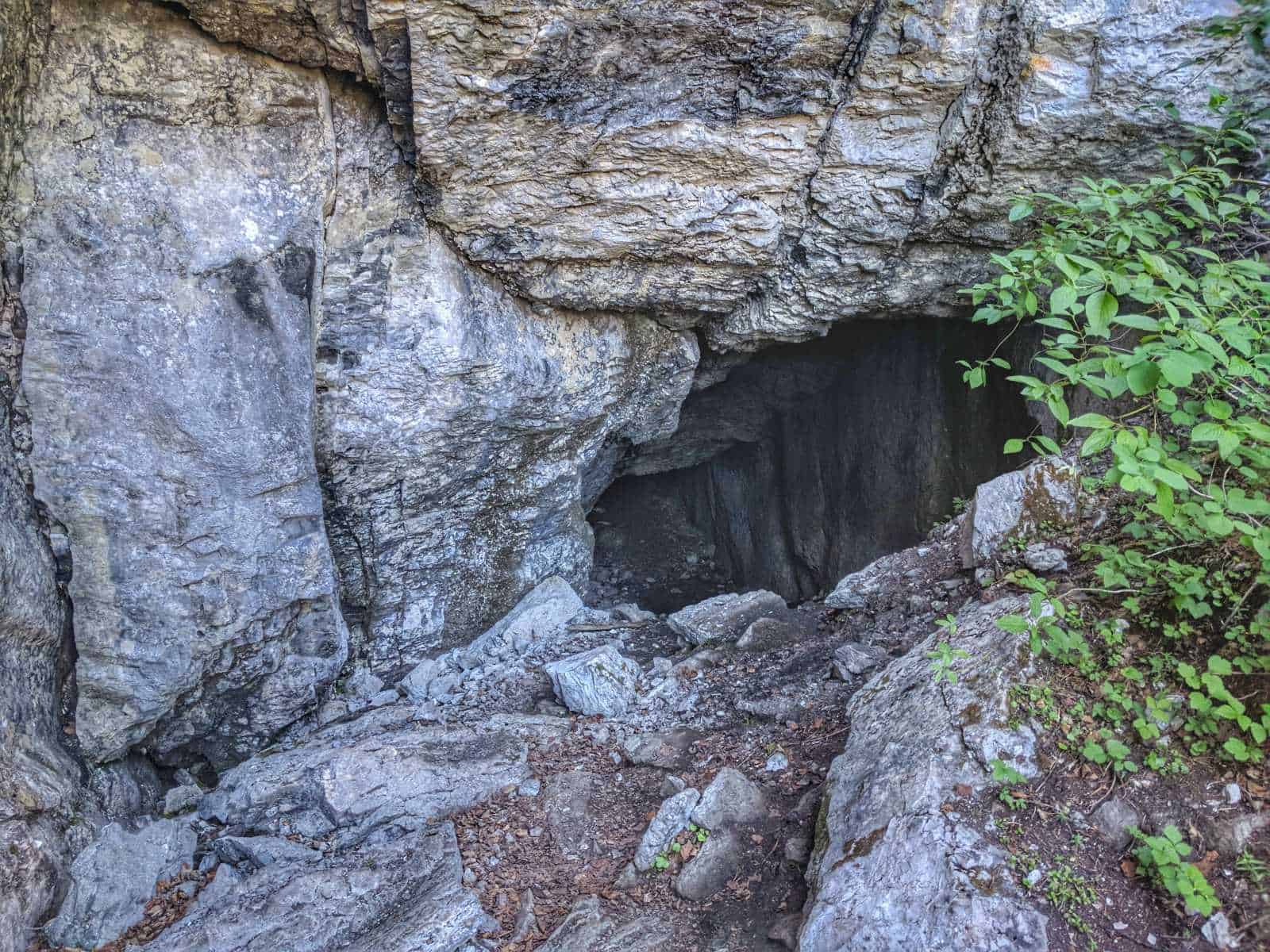
The floor is rocky, and there are perpetual drips. Icicles form during the cold months.
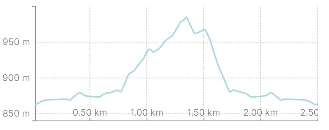
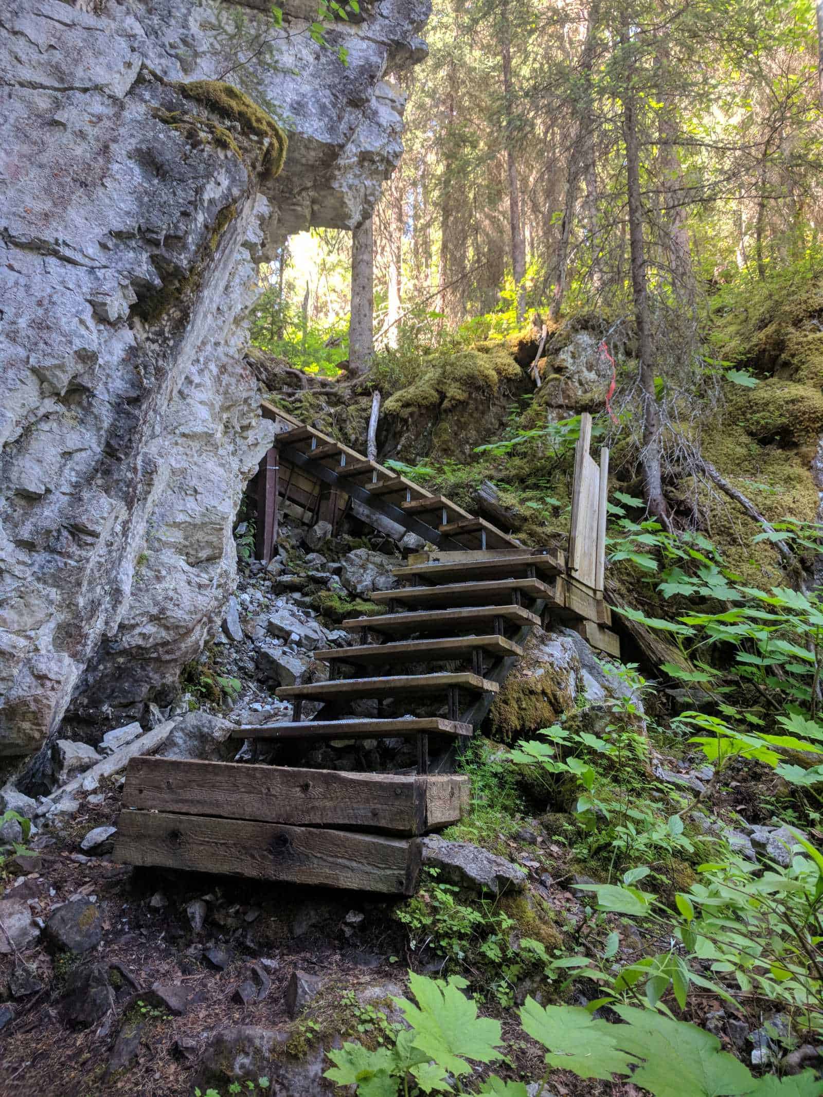
A staircase goes through a weakness in the cliff where forest and moss have taken hold, emerging onto Chambers Ridge at the top of the cliffs surrounding the Stone Corral.
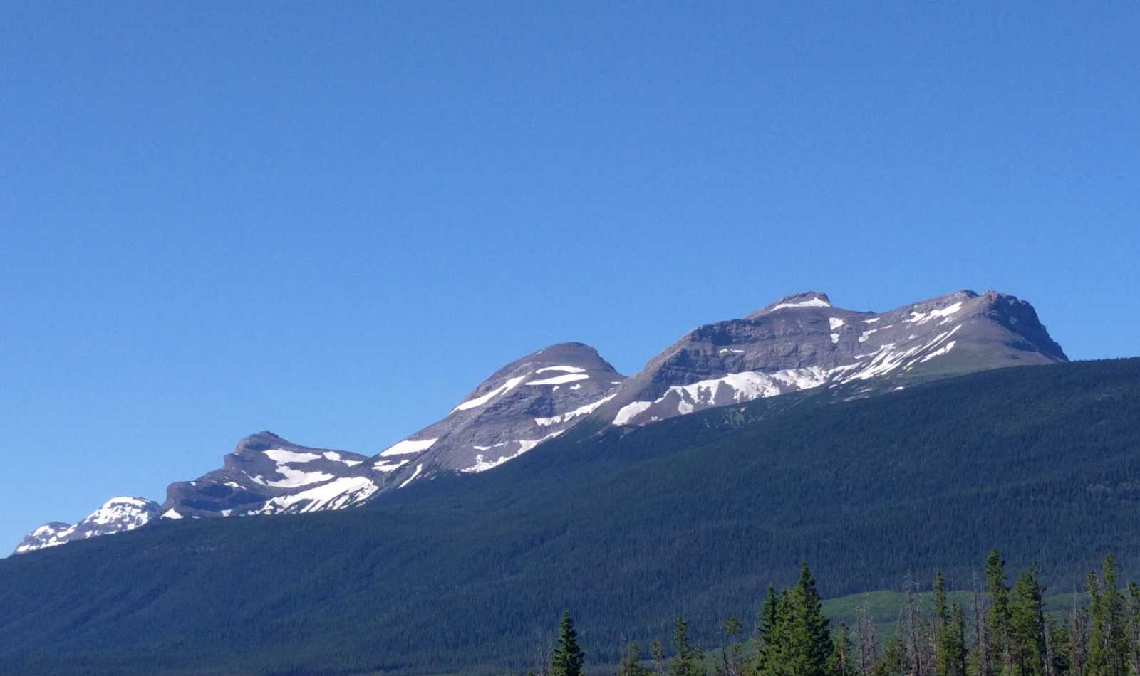
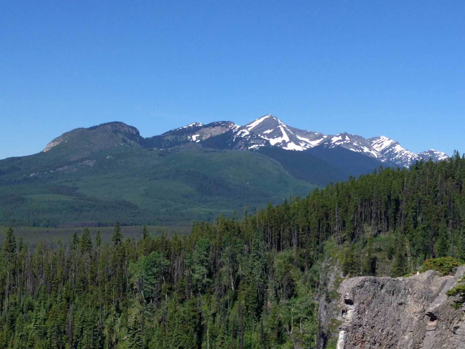
On a clear day, the view from the flat area above the vertical cliffs is magnificent.
On the distance to the left is Mount Watts. Invisible to its right, beyond the valley of the Murray River and Monkman Creek, lies Monkman Lake.
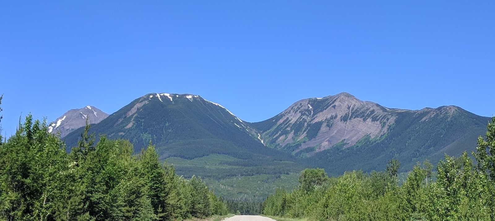
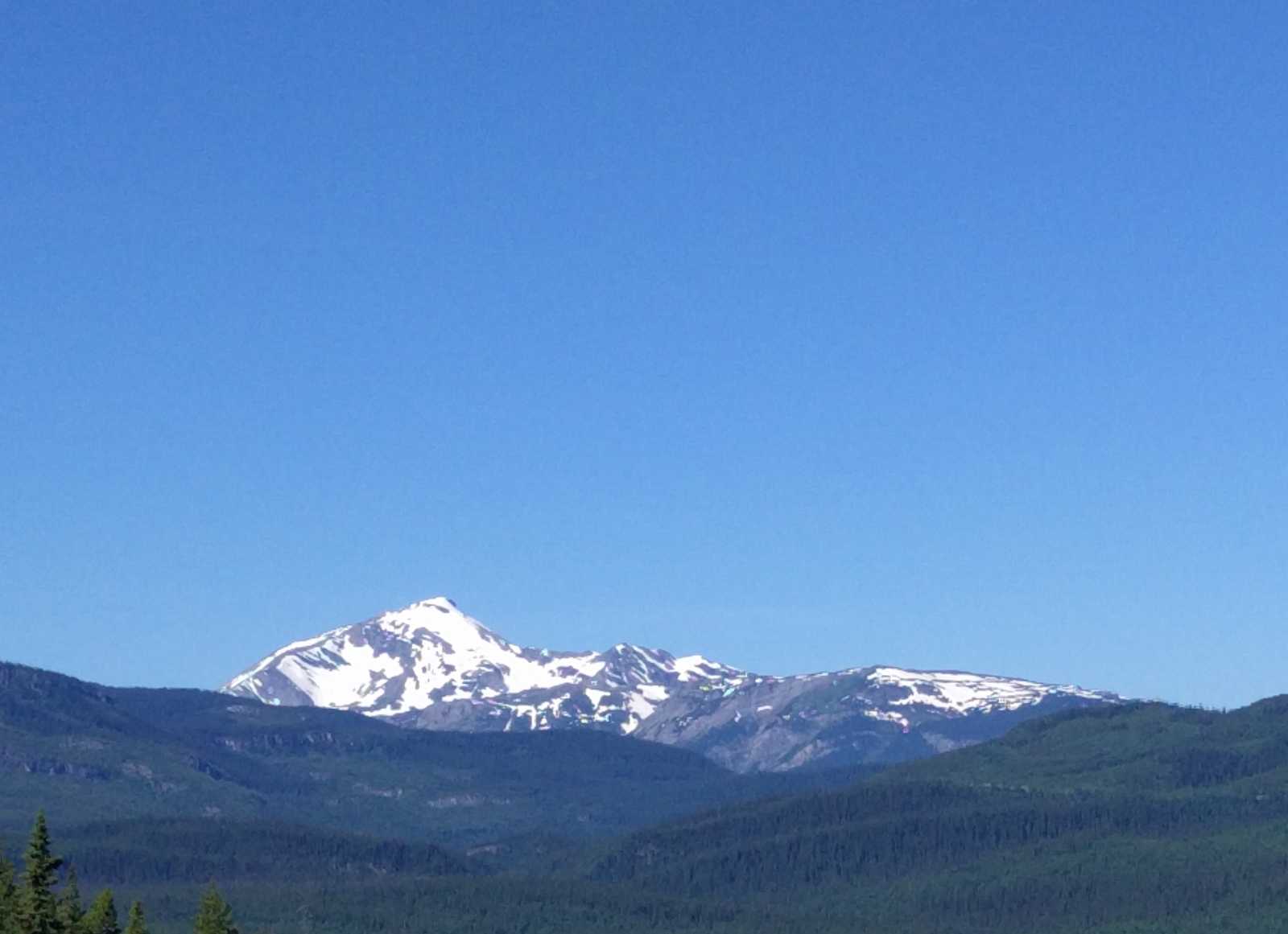
The bulk of Castle Mountain looms straight ahead.
To its right lies the Imperial Creek valley outside the park. At its head liest a high unnamed peak.
Farther to the right lies the Hook Creek valley and then Albright Ridge.
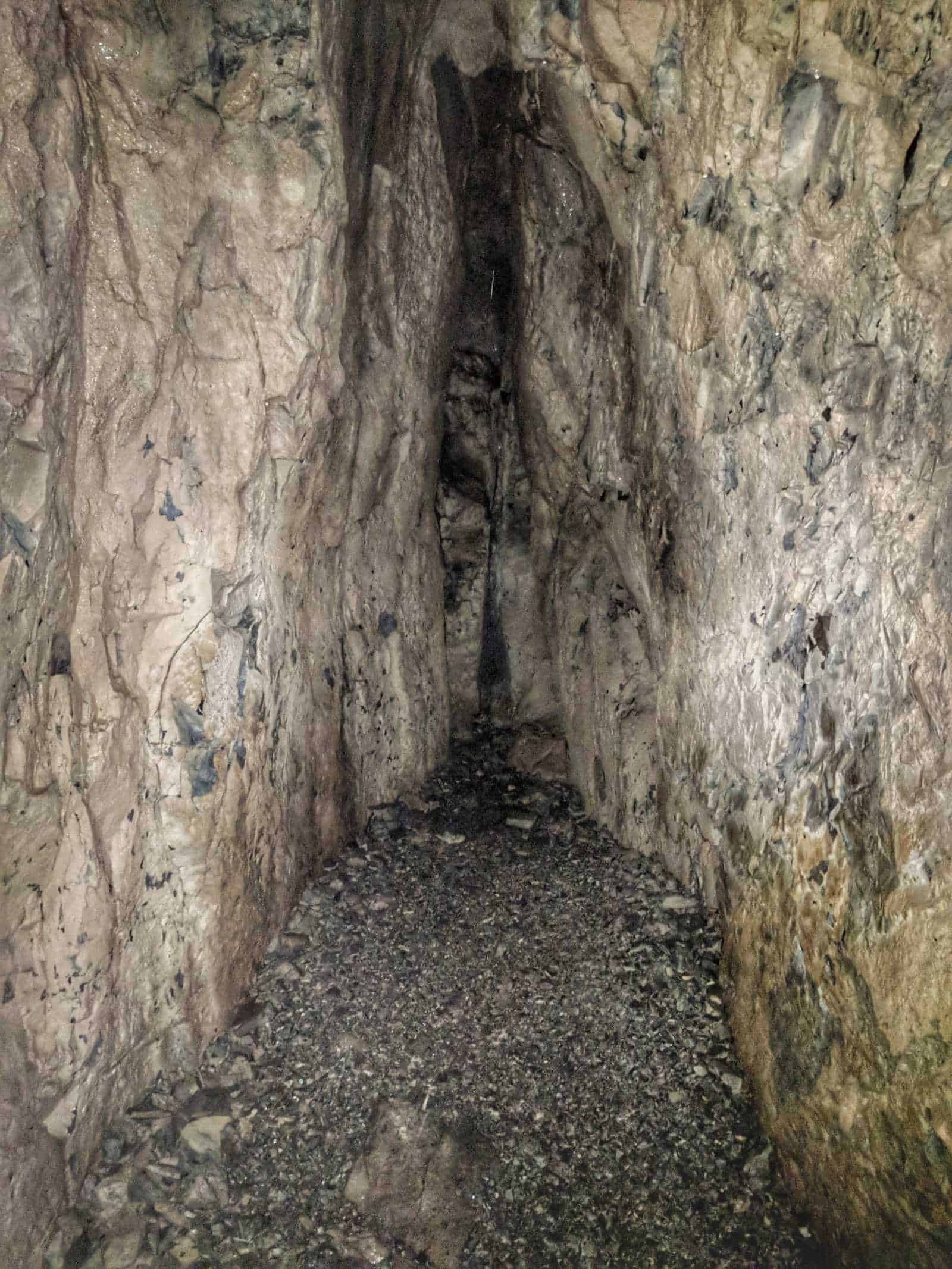
Porcupine Cave, 10 meters long, joins two sinkholes and is a classic solutional feature created by the dissolving of limestone by slowly moving water. It is narrow at either end, but it has a chamber in the middle. Only kids and lean adults should attempt to enter.
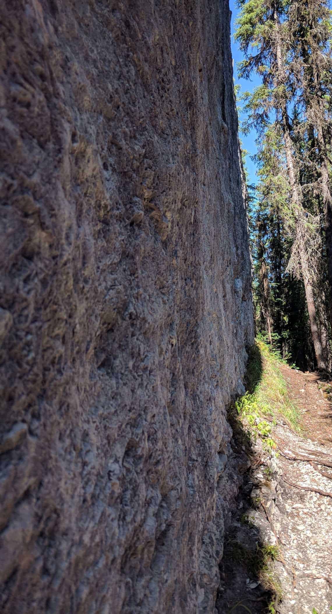
The trail follows the base of a vertical limestone wall. From here, the trail descends steeply and rejoins the main trail.
Many more caves are waiting for discovery. The twenty caves found in the last decade around the greater Tumbler Ridge area are remote, dangerous, or easily damaged.