October 9, 2020
Farwell Canyon Road is in the heart of the Chilcotin District of British Columbia.
This road provides access to Junction Sheep Range Provincial Park.
It protects a herd of California Big Horn Sheep.
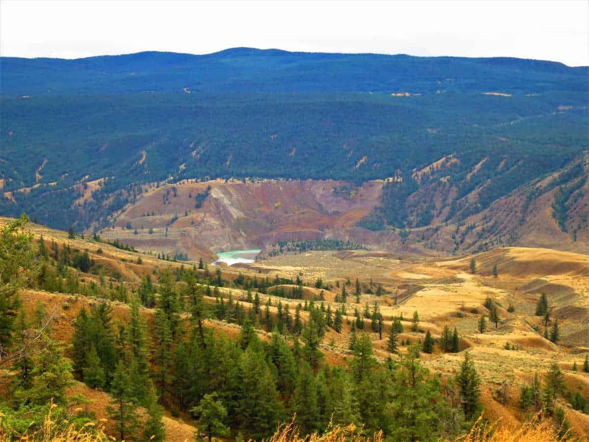
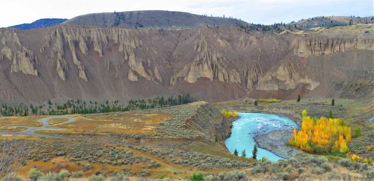
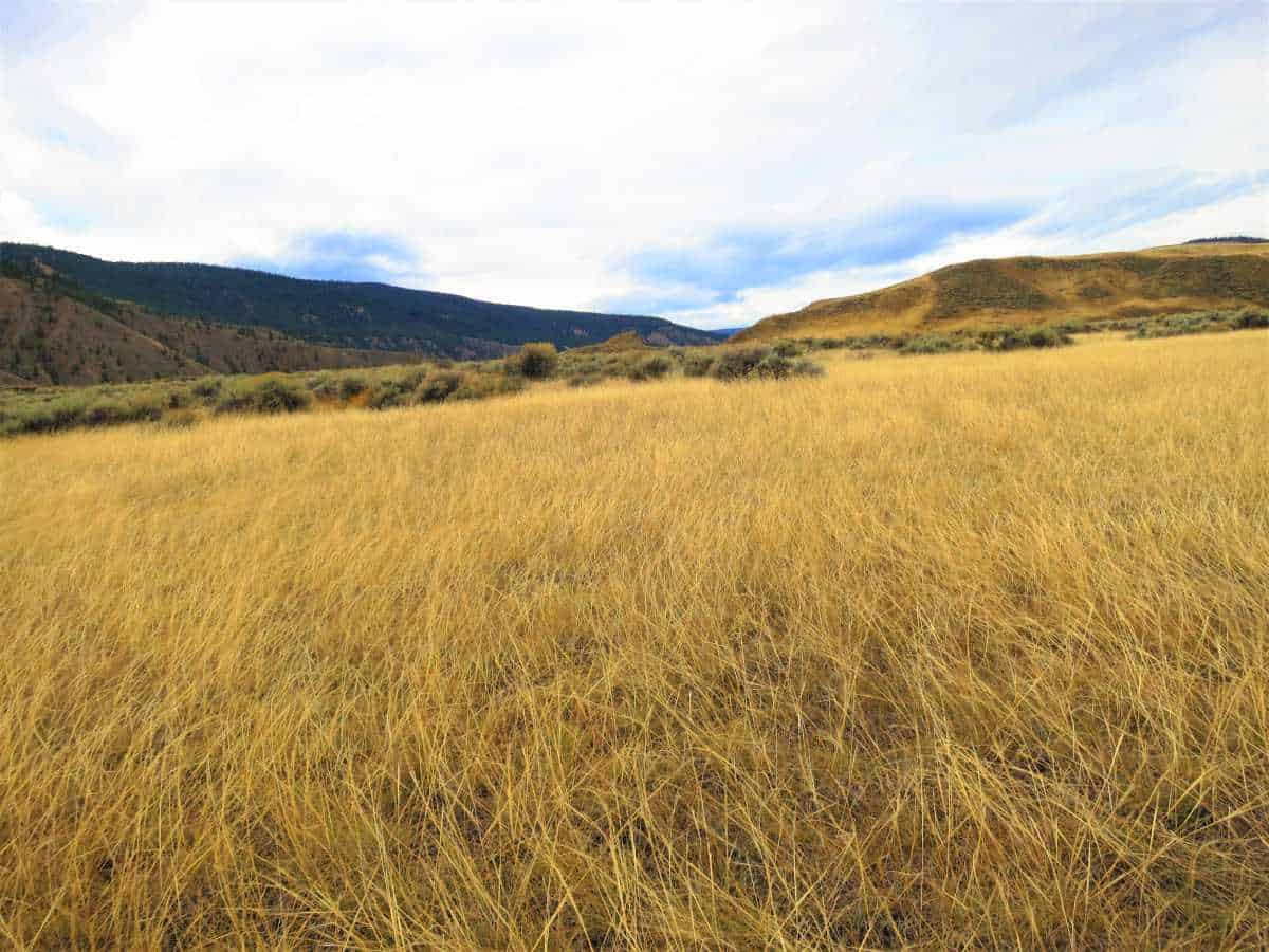
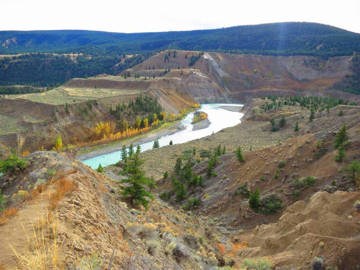
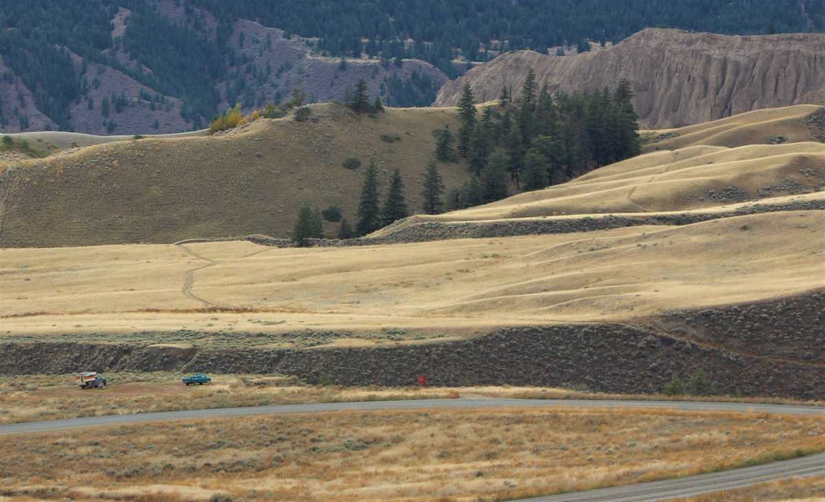
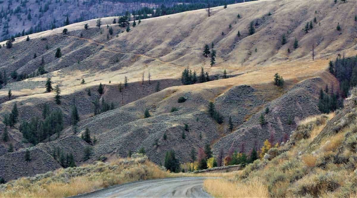
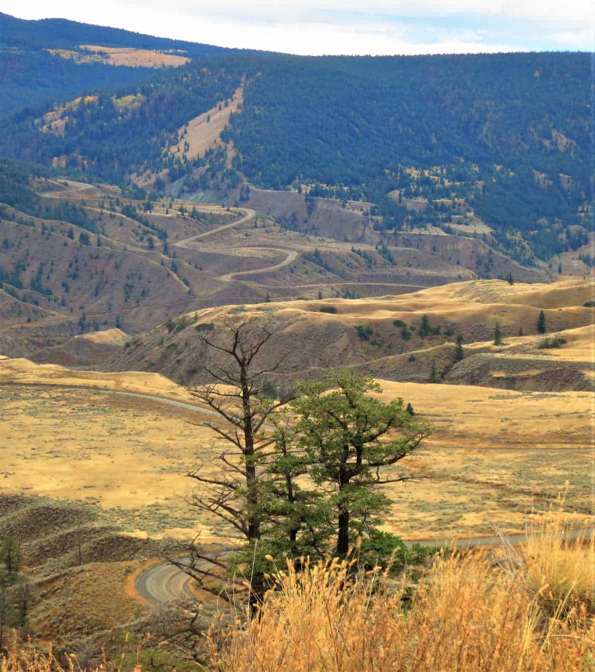
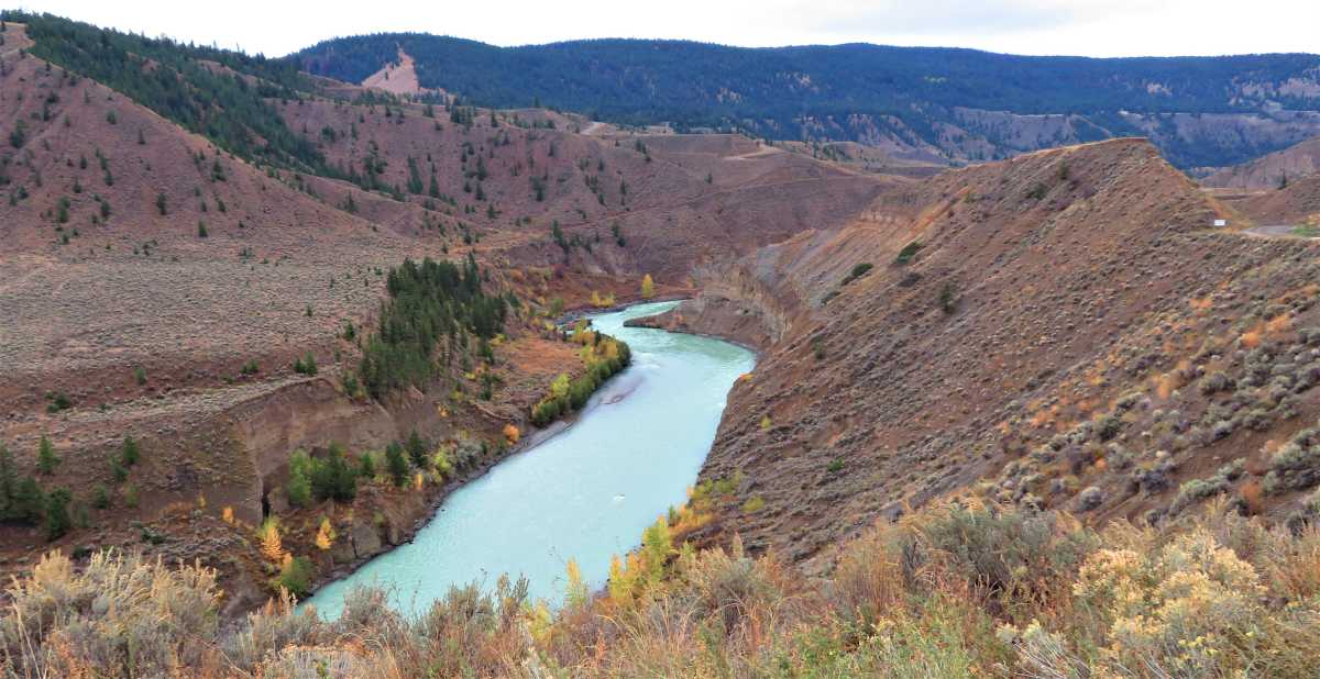
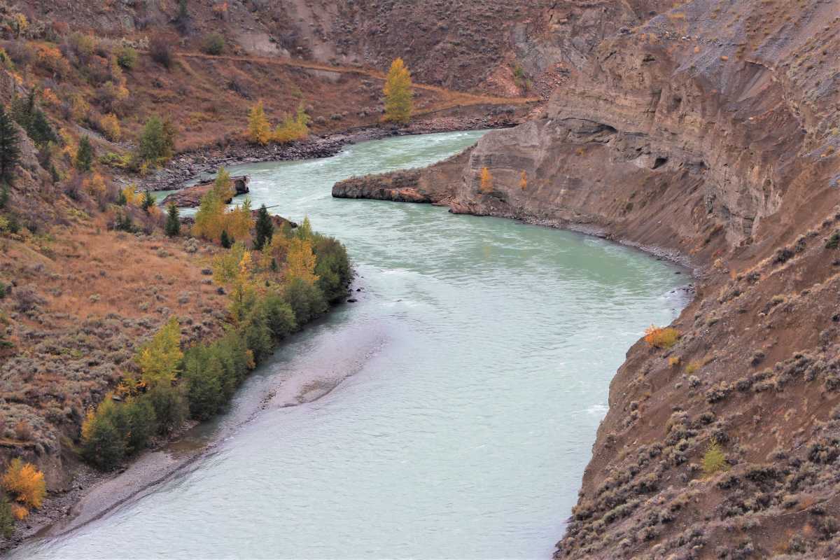
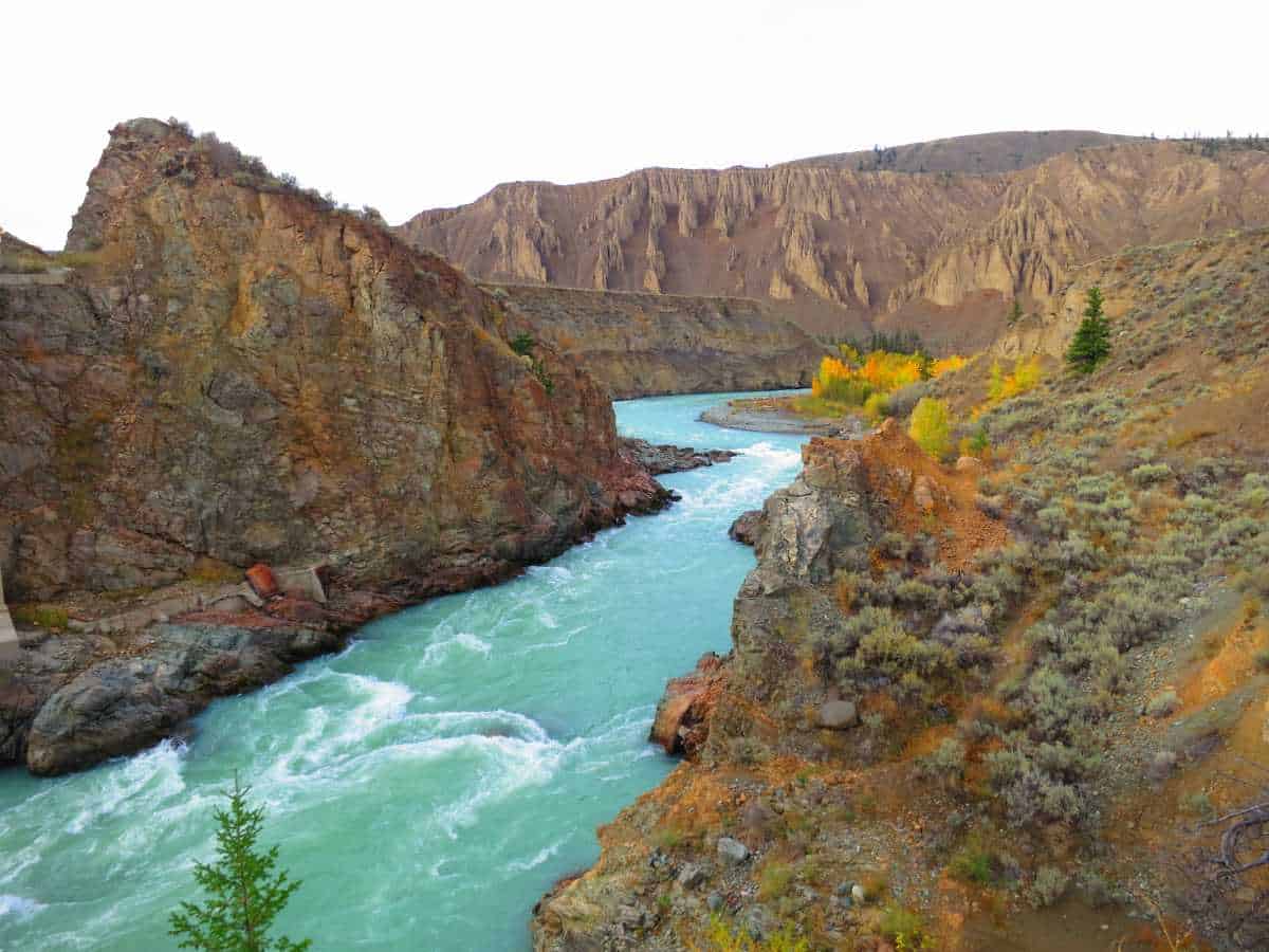
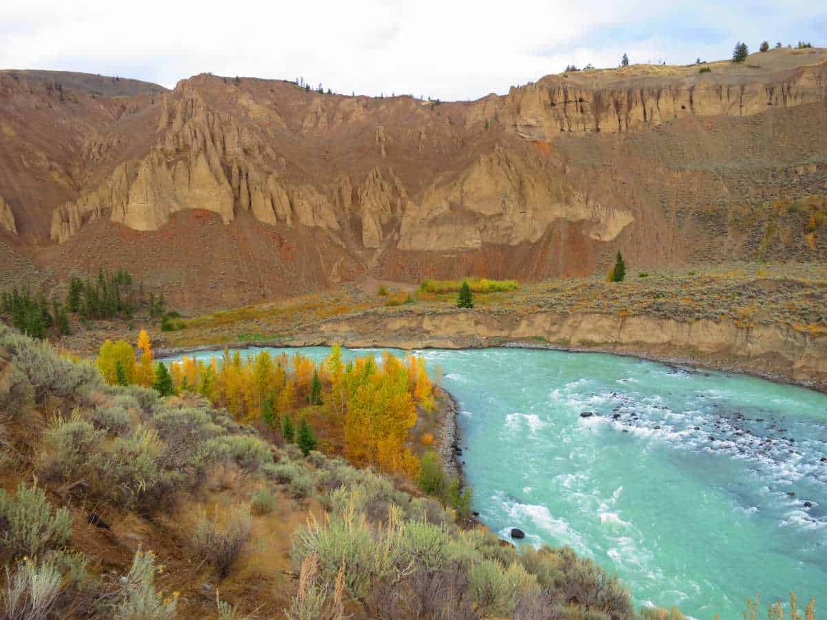
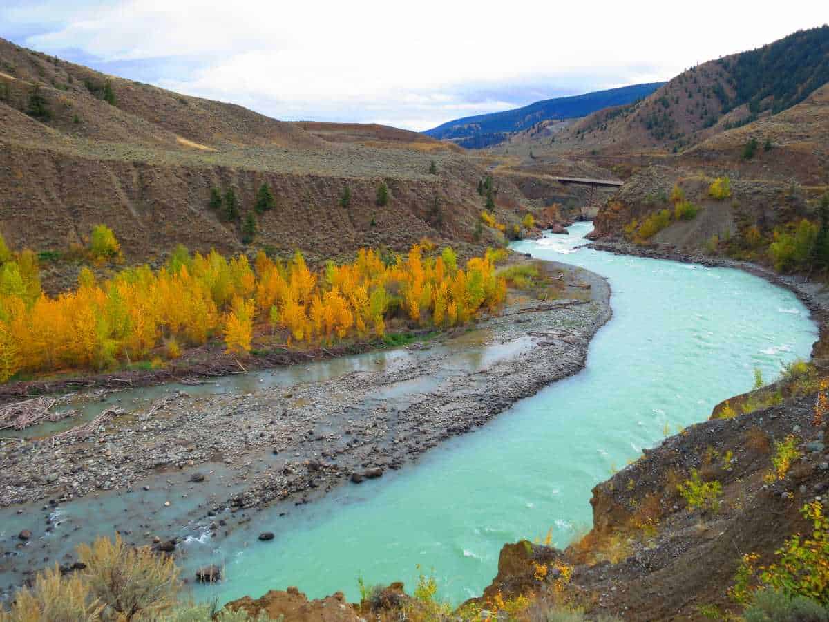
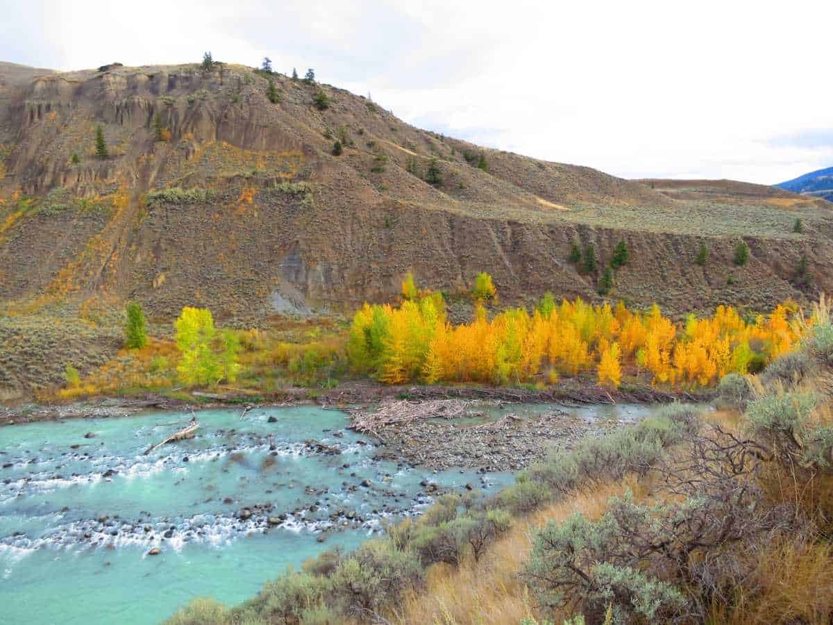
The area consists of rolling grasslands and deeply eroded gullies at the confluence of the Chilcotin and Fraser Rivers.
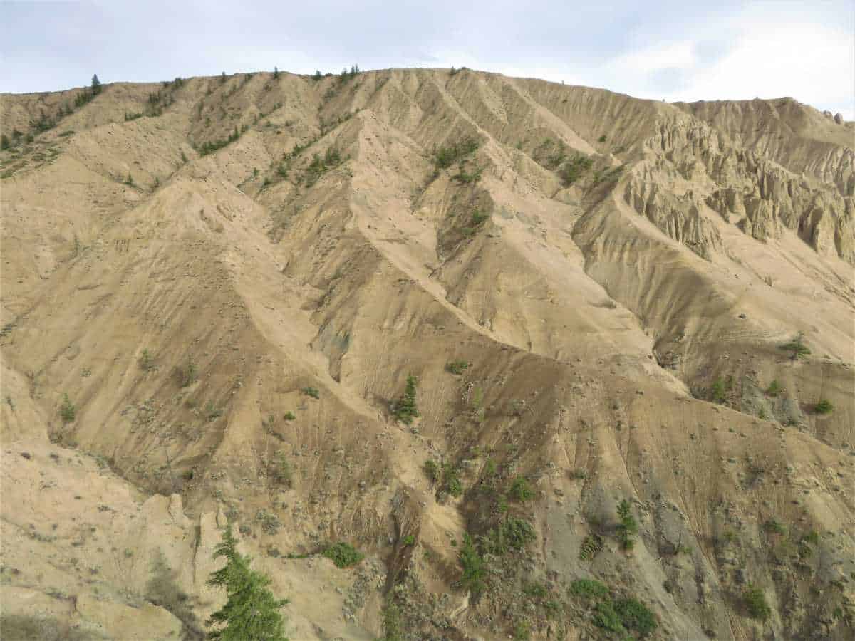
This unique landscape is a place of spectacular scenery, with cliffs and hoodoos breaking the grassland benches.
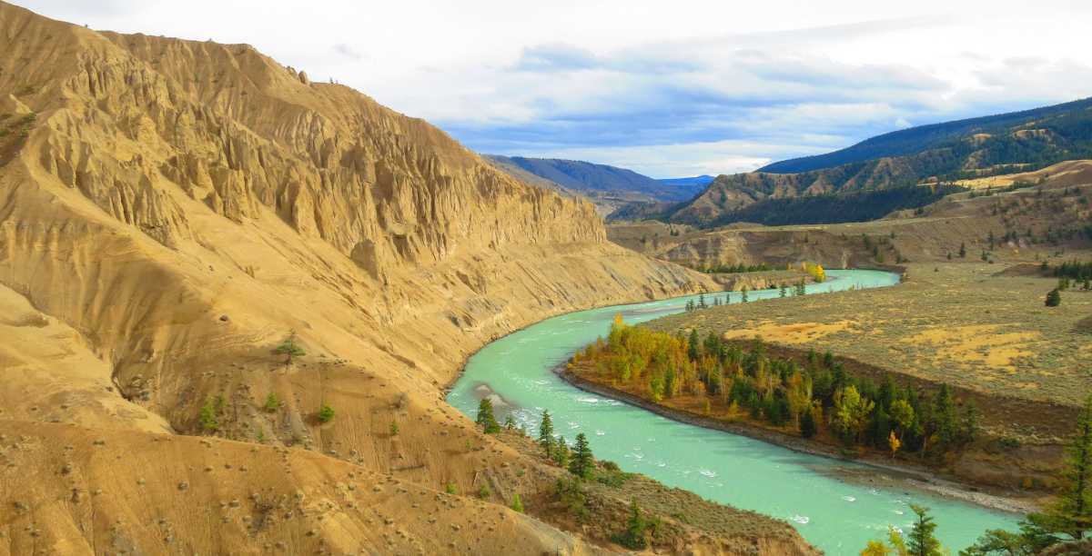
The Tsilhqot'in (Chilcotin people) named this area Nagwentled, a region know for numerous landslides that occur along the river.
The entire region is known to the Tsilhqot'in as Tl'esqox (Muddy River).
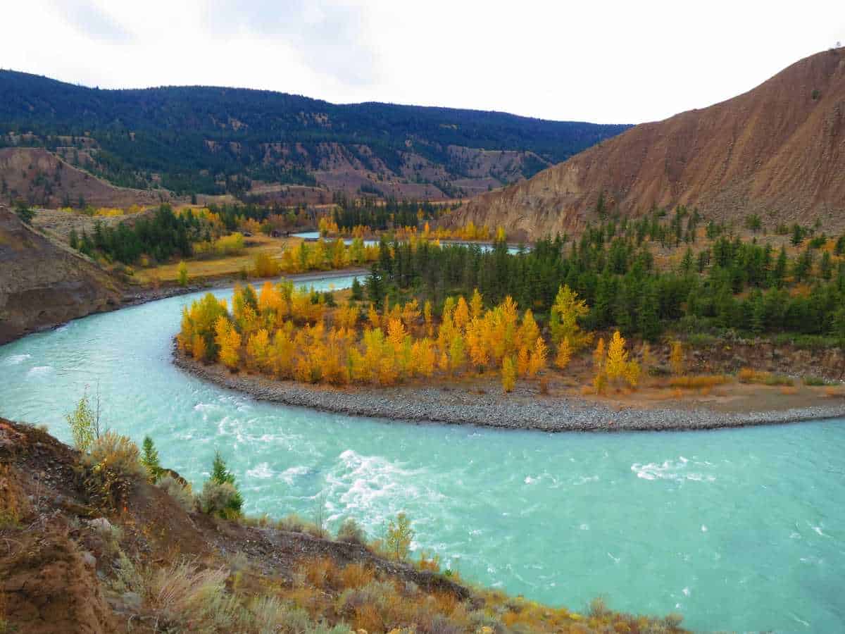
The name derives from the coloration of the river following a rainstorm through this vast stretch of water.
The sediment that travels into the river from the storm turns the beautiful glacial-colored river into a muddy flow.
The canyon is named for Gordon Farwell, who established the Pothole Ranch in 1912.
Gordon Farwell came from England to prove to himself and his family that he could succeed in “the colonies.”
In 2004, a mudslide created a flood that accumulated brush underneath the bridge.
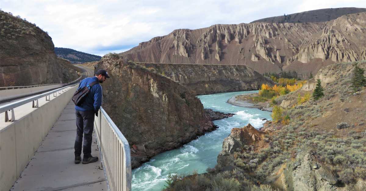
Two years later, someone used that brush to start a fire that quickly burned the bridge support posts.
The current bridge is a 95.3m three-span steel with a precast concrete deck overlaid with asphalt. Good luck trying to burn that one.
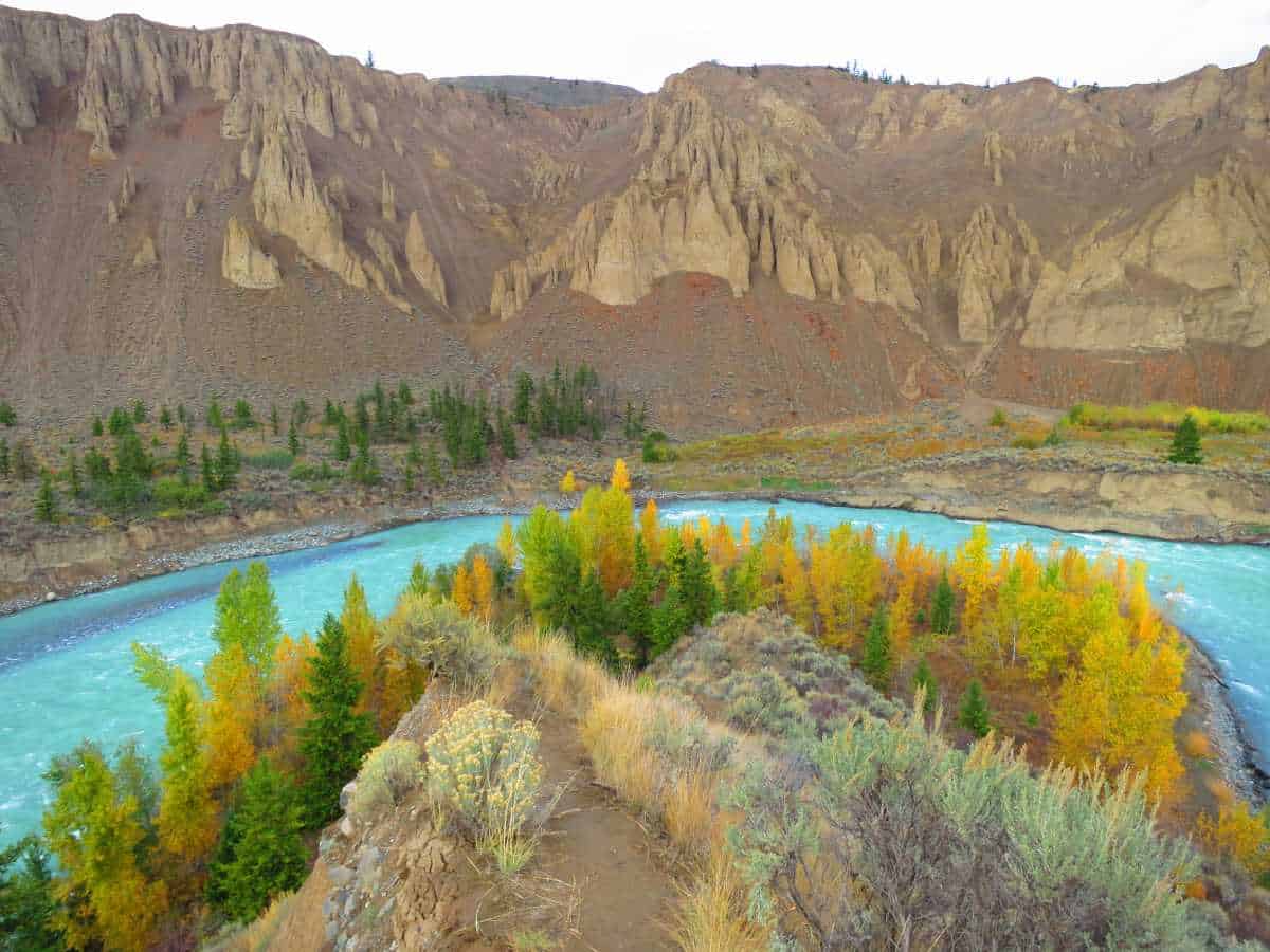
Time seems to come to a stop while admiring the glacier-fed Chilcotin River cutting the canyon and leaving terraces and hoodoos in thick deposits of Ice Age silt, gravel, and glacier debris.
If you take a hike down to the river, on the cliff south of the bridge, you will find native pictographs.
The Tsilhqot'in gather sage and a variety of berries annually from this area. Sage is still in use for medicinal and spiritual purposes.
A small collection of buildings along the Chilcotin River is all that remains of the Pothole Ranch, once a thriving little Chilcotin homestead at Farwell Canyon.
The Pothole Ranch homestead was abandoned after the Second World War.
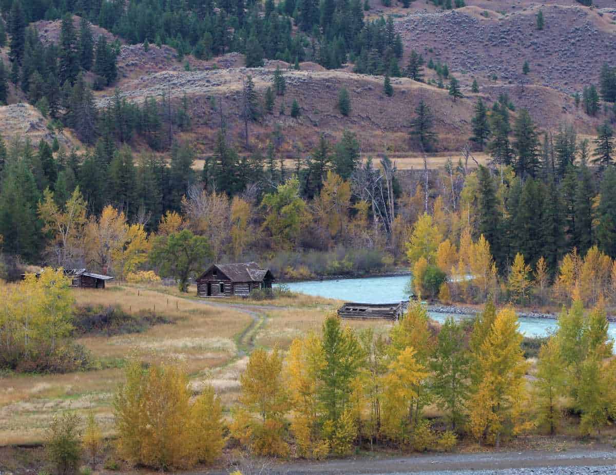
Farwell named his place “The Pothole,” since the location at times reminded him of living in a boiling cauldron.